Goechala Trek As Close to Kanchenjunga as You are Allowed to Get
Goechala Trek As Close to Kanchenjunga as You are Allowed to Get
14
Jul

By a ThinAirExpedition trek writer. Trek-fee and departure-date fields below are placeholders pending confirmation — do not publish until filled.
Nobody summits Kanchenjunga on this trek, and that's not a limitation — it's the point. The mountain is the third-highest on Earth, and by long-standing local custom across Sikkim, its summit is left untouched out of respect for its status as a protected, sacred peak. So the entire trek is built around getting as close as the mountain allows: Goecha La Viewpoint, at roughly 4,940–5,000 metres, where Kanchenjunga fills the sky at a distance close enough to see individual snow ridges, but no closer.
This is a different order of trek from the Uttarakhand routes most people start with. It runs 8–11 days depending on itinerary, covers roughly 90 km round trip, and takes you through Kanchenjunga National Park — a UNESCO World Heritage Site — rather than a state forest sanctuary. Sikkim also has its own rule that matters if you're planning to go without companions: solo trekking in the technical sense isn't permitted here. You can go without knowing anyone in advance, but you go as part of a registered group with a guide, by Inner Line Permit regulation — which, in practice, means the same thing every ThinAir trek offers anyway: you're never trekking truly alone, but you're free to be alone within the group, for as long or as little as you want each day.
Stoicism has a use here too, though the terrain does most of the teaching. You can't control whether cloud rolls in over Goecha La the one morning you have to see it, and unpredictable weather here is common enough that experienced trekkers budget a spare day at the high camps specifically for a second attempt. You can control your own pace across eight days of increasing altitude, and whether you conserve enough of yourself early on to actually enjoy the one sunrise the entire trek is built around.
|
Duration |
8–11 days depending on itinerary (Yuksom to Yuksom) |
|
Trek distance |
~90 km round trip |
|
Base camp |
Yuksom, West Sikkim — the historical first capital of Sikkim |
|
Max altitude |
Goecha La Viewpoint 1, ~4,940–5,000 m (some itineraries extend to Viewpoint 2/3, ~4,940 m) |
|
Difficulty |
Moderate to Challenging — not a beginner trek |
|
Best season |
April–June (spring) and September–November (autumn) |
|
Permits required |
Inner Line Permit + Kanchenjunga National Park entry permit; group trekking with a registered guide is mandatory |
|
Trek fee |
[PLACEHOLDER — insert confirmed ThinAir price] |
|
Departure dates |
[PLACEHOLDER — insert confirmed ThinAir batch dates] |
Sikkim borders international territory, so trekking here runs on a different permit system than Uttarakhand's forest-department process. You'll need an Inner Line Permit — a standard requirement for Indian nationals entering protected border-area districts — plus a separate entry permit for Kanchenjunga National Park. A registered trekking agency handles both as part of the package, but independent trekking without a registered guide and group isn't an option here, unlike some Uttarakhand routes where a leader is recommended rather than mandatory.
Fitness prep: this trek gains significantly more altitude over more days than a typical Uttarakhand winter trek, so conditioning should start well before the standard 2–3 week window — 6–8 weeks of consistent cardio and stair or hill training is a more realistic minimum, especially if this is your first trek above 4,000 m. Acclimatization days are built into most itineraries at Dzongri; use them, even if you feel fine.
The permit paperwork itself is more front-loaded than Uttarakhand treks too: expect to submit ID copies and passport-size photographs well in advance rather than at the trailhead, since Inner Line Permit processing for a group takes coordination that a same-day forest-department stamp doesn't. If you're not an Indian national, check requirements early — Sikkim's border-area permit rules for foreign nationals differ from the domestic process and can affect how far in advance you need to apply.
Exact day counts vary by operator; this reflects the commonly run route structure.
Yuksom is the historical coronation site of Sikkim's first Chogyal (king) and home to some of the state's oldest monasteries. A day here for permits, gear checks, and a look at Dubdi Monastery is standard before the trek proper begins.
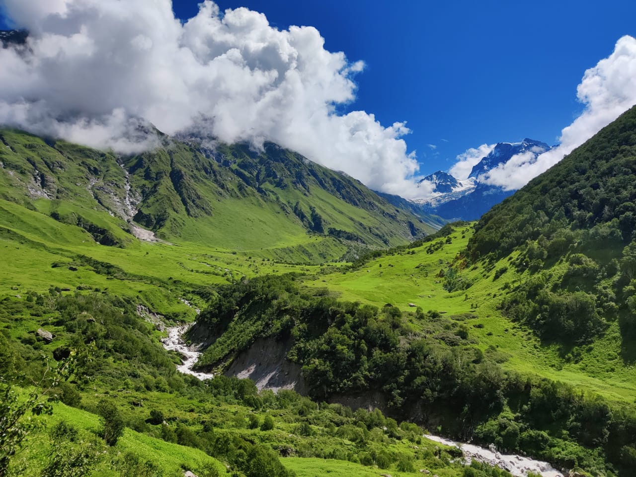
A gradual ascent through oak, fir, and rhododendron forest, with the Prek Chu River running alongside much of the trail.
A steeper climb crossing the Prek Chu via suspension bridge, ending at Tshoka — a small Tibetan settlement with the trek's first real views of Mt. Pandim.
A demanding climb through rhododendron forest opening into the vast Dzongri meadows, with Kanchenjunga, Kabru, and Pandim all visible from camp. Dzongri holds spiritual significance locally — the name is associated with a meeting point of trade routes and, in local belief, a place where wandering monks once meditated. Most itineraries build in an acclimatization day here, sometimes with a side trip to Dzongri Top for a sunrise view of over a dozen peaks.
A descent to Kokchurang followed by a climb along the riverbank to Thansing, a meadow camp with close views of Mt. Pandim.
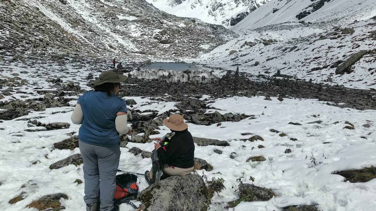
A steady climb over alpine meadow to camp beside Samiti Lake — a small, still, high-altitude lake regarded locally as sacred, with prayer flags commonly strung nearby.
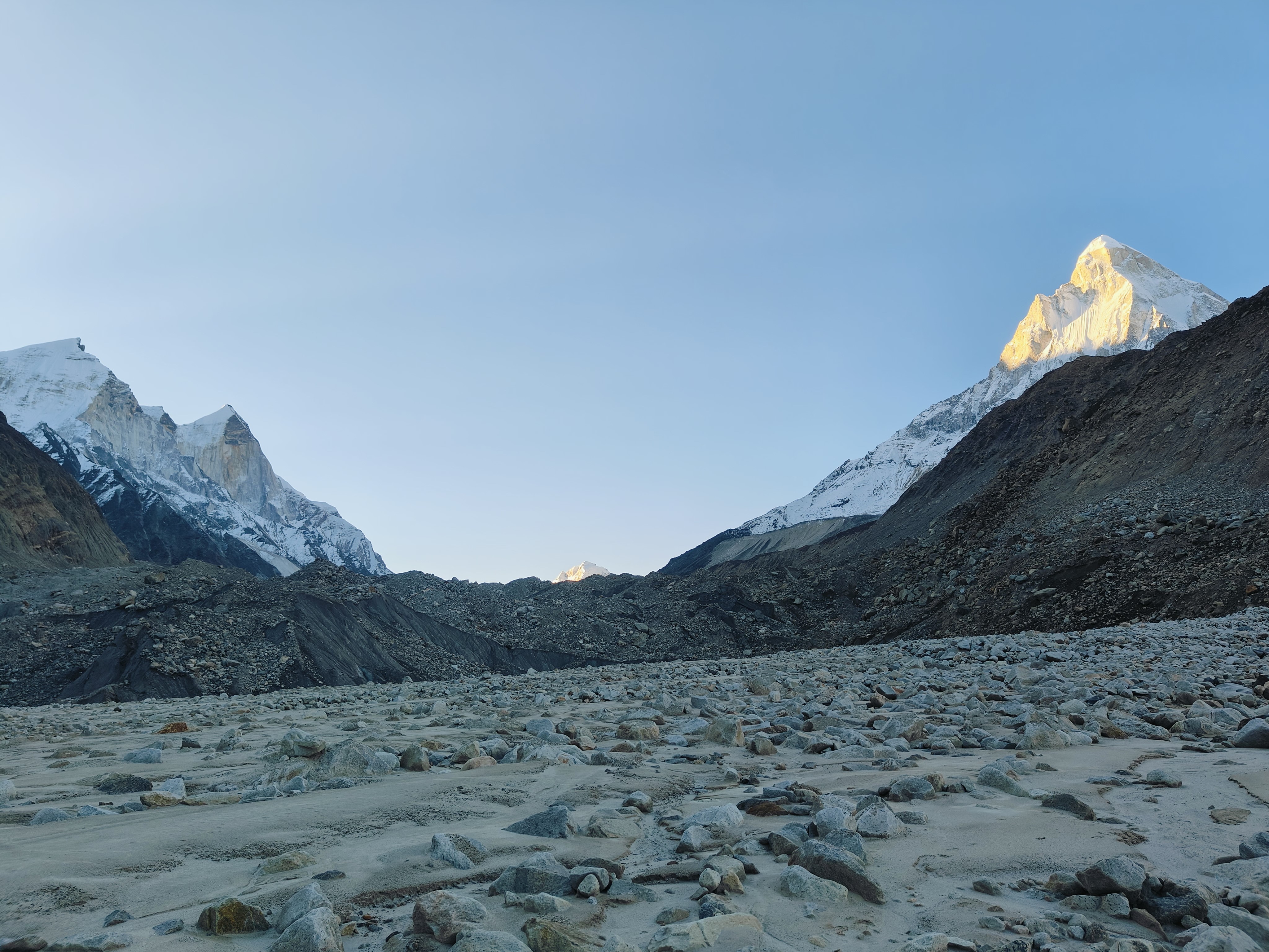
An early, cold start for the trek's actual destination — a viewpoint facing the eastern wall of Kanchenjunga, with Pandim, Kabru, and Rathong also visible. This is the day the entire itinerary is built to protect: if weather closes in, groups with a spare day will attempt again rather than push through poor visibility.
The return generally retraces the ascent, sometimes with route variations through Phedang, finishing back at Yuksom.
Spring (April–June): rhododendron forests in full bloom — among the most photographed stretches of any Himalayan trek in this season — with daytime temperatures a manageable 15–20°C, though high camps stay cold.
Autumn (September–November): clear, dry air and the most reliable mountain visibility of the year, with nights dropping well below freezing at the higher camps.
Monsoon and deep winter are not viable windows — monsoon brings unsafe trail conditions, and winter snow closes the higher sections entirely.
Yuksom's name is said to mean “meeting place of the three learned monks” who selected Sikkim's first king. It's worth spending a half-day here rather than treating it purely as a logistics stop — Dubdi Monastery, a steep walk above the village, is among the oldest in Sikkim, and Kathok Lake nearby is considered sacred, historically used by lamas for purification rituals before royal coronations. Further along the trail, Tshoka and the surrounding villages carry Bhutia, Lepcha, and Nepali cultural influence, visible in prayer flags, small monasteries, and local custom.
Samiti Lake carries its own local reverence — trekkers commonly find prayer flags strung nearby, and some visitors observe a moment of quiet at the water's edge rather than treating it purely as a photo stop. None of this is performance for tourists; it reflects genuine, ongoing local practice that predates the trekking route by centuries.
Kanchenjunga itself holds deep spiritual weight across Sikkim — which is the actual, verifiable reason its summit remains unclimbed by convention, not a marketing flourish. The mountain's name is generally translated as “five treasures of snow,” referring to five distinct summits, each associated with a store of one of gold, silver, gems, grain, and holy scripture in local belief.
Sikkim is home to dozens of rhododendron varieties and hundreds of orchid species, many visible along the lower stretches of this trail. Wildlife sightings are opportunistic — Himalayan monal, blue sheep, and snowcocks have all been recorded along the route, though a pair of binoculars does more work here than luck; sightings are often at real distance across open terrain.
Goecha La Viewpoint sits close to 5,000 m — high enough that altitude sickness is a genuine, non-trivial risk rather than a box-ticking safety disclaimer. The standard defense is the same one used at every altitude, just more important here given the gain: ascend gradually, hydrate consistently rather than in large amounts at once, and report headache, nausea, or unusual fatigue to your trek leader immediately rather than pushing through it. Fitness reduces how hard the climbing feels; it does not meaningfully reduce your risk of altitude sickness, which is a function of your body's response to lower oxygen pressure rather than your training level.
The built-in acclimatization day at Dzongri exists specifically to let your body catch up to the altitude gain before pushing further. Skipping it to save a day, even if you feel completely fine, is the single most common mistake trekkers make on high-altitude Himalayan routes — symptoms often appear a day after the altitude gain that caused them, not immediately.
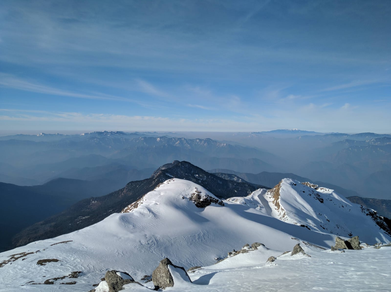
Dzongri Top, reached via a short early-morning side trip from Dzongri camp, offers what's widely considered the trek's most complete panoramic view — more than a dozen named peaks visible in clear conditions, with Kanchenjunga catching the first direct light. Goecha La Viewpoint itself photographs best in the hour immediately after sunrise, before cloud typically builds later in the morning; this is the operational reason for the early starts on summit-adjacent days, not tradition for its own sake. Samiti Lake's stillness makes it one of the more reliable reflection shots on the route, weather permitting.
• High-ankle waterproof trekking boots, broken in well before the trek — not new
• Layered system: thermal base layer, insulating mid-layer, windproof/waterproof outer shell
• Down jacket rated for sub-zero temperatures, warm gloves, insulated cap
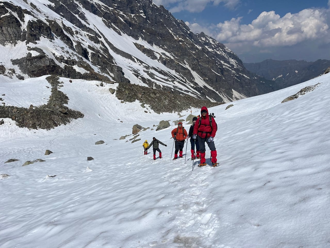
• Microspikes or gaiters for snow-affected sections, trekking poles for the steeper climbs
• Sunscreen and UV sunglasses — altitude glare here is significant even on cool days
• Personal medication, a basic AMS kit, and awareness that evacuation from the higher camps takes real time
• Government ID and passport-size photos for permit processing
Worth being direct about this rather than letting scenery talk do the work: Goechala is a materially harder, longer, higher-altitude trek than Kedarkantha, Phulara Ridge, or Brahmatal. It demands more fitness preparation, a different permit process, and a longer time commitment. Where Kedarkantha's summit push is a single demanding day inside an otherwise beginner-friendly week, Goechala asks for sustained altitude tolerance across nearly the entire second half of the trek — Dzongri, Thansing, and Samiti Lake are all above 3,900 m, days before the actual viewpoint push.
It's the right choice for a trekker who has completed at least one moderate Himalayan trek already and wants the next real step up — not a natural first Himalayan trek the way Kedarkantha or Brahmatal are. If you're deciding between this and a Uttarakhand route for a first-ever Himalayan trip, the honest answer is to start closer to home and come back for Goechala once you know how your body actually handles altitude.
Can I summit Kanchenjunga on this trek?
No — by long-standing local custom, Kanchenjunga's summit is left unclimbed. The trek's destination is Goecha La Viewpoint, which offers a close view of the peak without approaching the summit itself.
Can I trek this completely solo?
Not in the fully unsupported sense — Sikkim's Inner Line Permit regulations require trekking in a registered group with a guide. You can join without knowing anyone beforehand.
How difficult is this trek compared to Uttarakhand treks?
Meaningfully harder — longer duration, higher altitude (up to ~5,000 m), and more demanding acclimatization requirements. Not recommended as a first Himalayan trek.
What permits do I need?
An Inner Line Permit and a Kanchenjunga National Park entry permit, both typically arranged by the trekking agency as part of the package.
What's the best season?
April–June for rhododendron blooms and milder temperatures, or September–November for the clearest mountain views.
Is altitude sickness a real risk?
Yes — the trek gains substantial altitude over several days. Acclimatization days at Dzongri are built into the itinerary for this reason and shouldn't be skipped.
What's the group size typically like?
Sikkim's group-trekking requirement means you'll always be with others, but group sizes on this trek are generally kept small and manageable rather than large tour-bus-style batches.
Can I extend the trek to see more of Sikkim?
Yes — many itineraries can be paired with a few days in Gangtok or Pelling before or after the trek, given the drive routes pass near both.
Do I need prior high-altitude experience?
It's strongly recommended, if not strictly required. A completed moderate Himalayan trek beforehand makes the acclimatization and pacing demands here considerably more manageable.
There's something worth sitting with in a trek that's built entirely around a viewpoint rather than a summit. Every other Himalayan trek in this series ends with you standing on top of something. Goechala ends with you standing in front of something — close enough to see the mountain clearly, deliberately kept from going further. That's not a compromise built into the itinerary. It's the actual relationship this region has decided to have with its highest peak, and for eight days, you get to have it too.