Phulara Ridge Trek The Longest Conversation You will Have With a Mountain
Phulara Ridge Trek The Longest Conversation You will Have With a Mountain
11
Jul

By a ThinAir Expedition trek writer, built from field data supplied by our Sankri-based trek leaders.
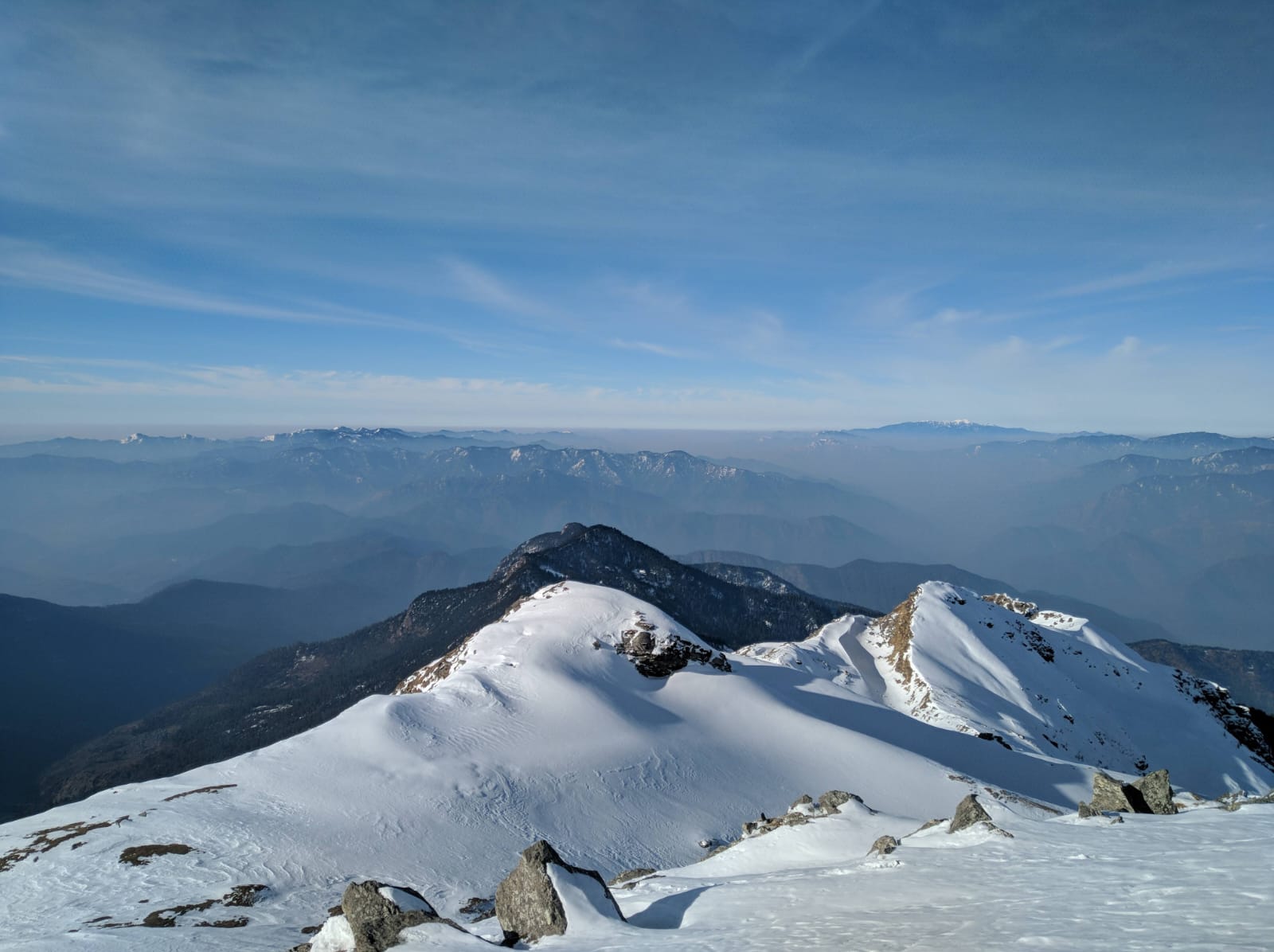
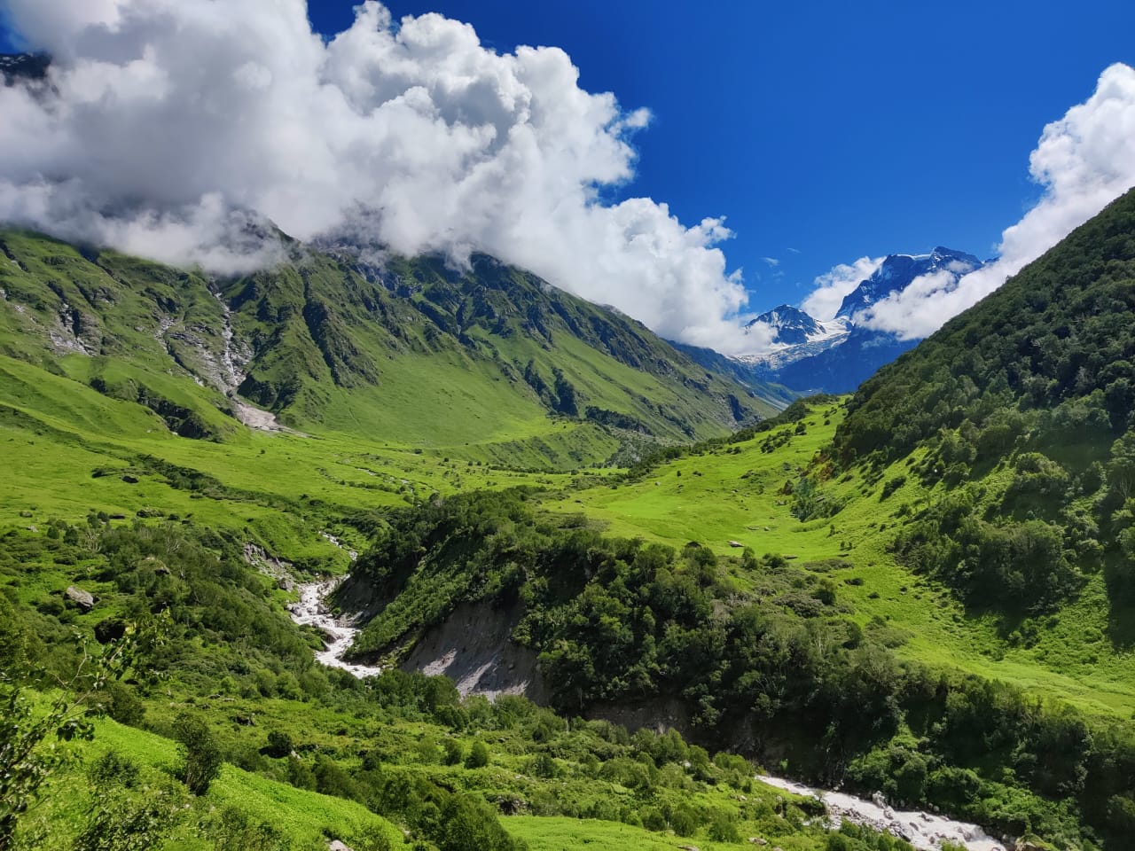
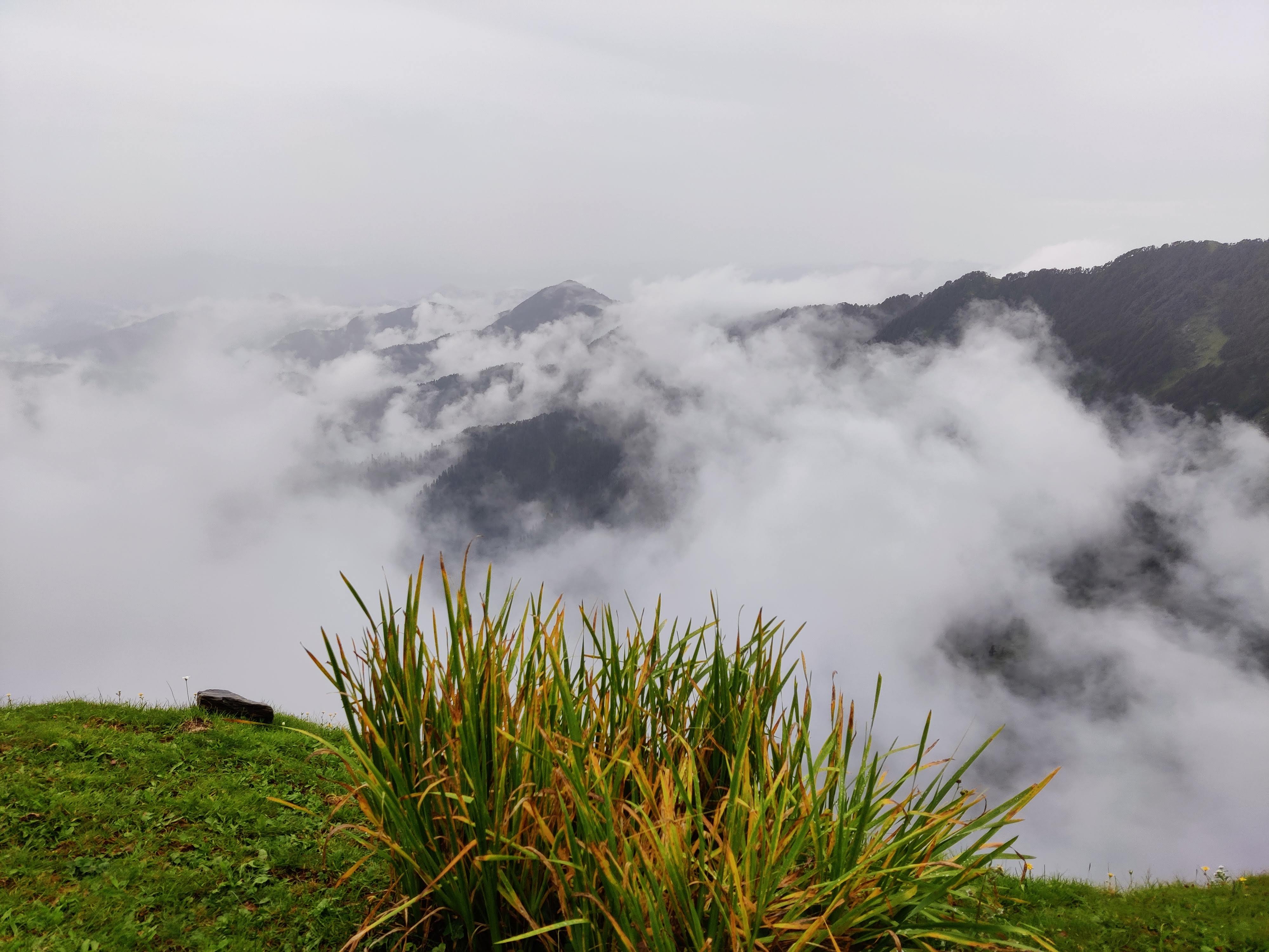
Most Himalayan treks give you a summit and take it away in minutes. You climb for hours, get ten cold minutes at the top, and spend the rest of the day getting back to the trees for shelter. Phulara Ridge doesn't work that way. It gives you 3.5 kilometres of walking on the spine of the mountain itself — hours, not minutes — with the Swargarohini range on one side and open valley on the other, and nowhere to hide from either the view or your own head.
I went alone. Not because I couldn't find people to go with, but because a ridge walk that long forces a kind of honesty a group trip doesn't. There's no water source for those 3.5 kilometres — you carry what you need from Bhoj Gadi and you don't get to refill until Pushtara, hours later. Nobody tells you that discomfort like that is optional to manage well. You either pace yourself and stay calm about the thirst, or you don't. Stoicism has a word for this: the dichotomy of control. You can't control whether the wind picks up on the exposed stretch, or whether cloud rolls in and takes the Bandarpoonch view away for the day. You can control your pace, your breath, and whether a bad hour is allowed to become a bad trek.
That's the real difficulty rating on Phulara Ridge trek. The terrain is genuinely easy-to-moderate — gradual ascents, well-beaten trails, nothing technical except one narrow crossing near the top. What's harder to prepare for is five days with your own mind as the only company you can't leave behind. The people you meet at camp — a trek leader who's done this ridge dozens of times, a stranger who ends up walking the last stretch beside you in silence — end up mattering more than the itinerary ever suggests they will.
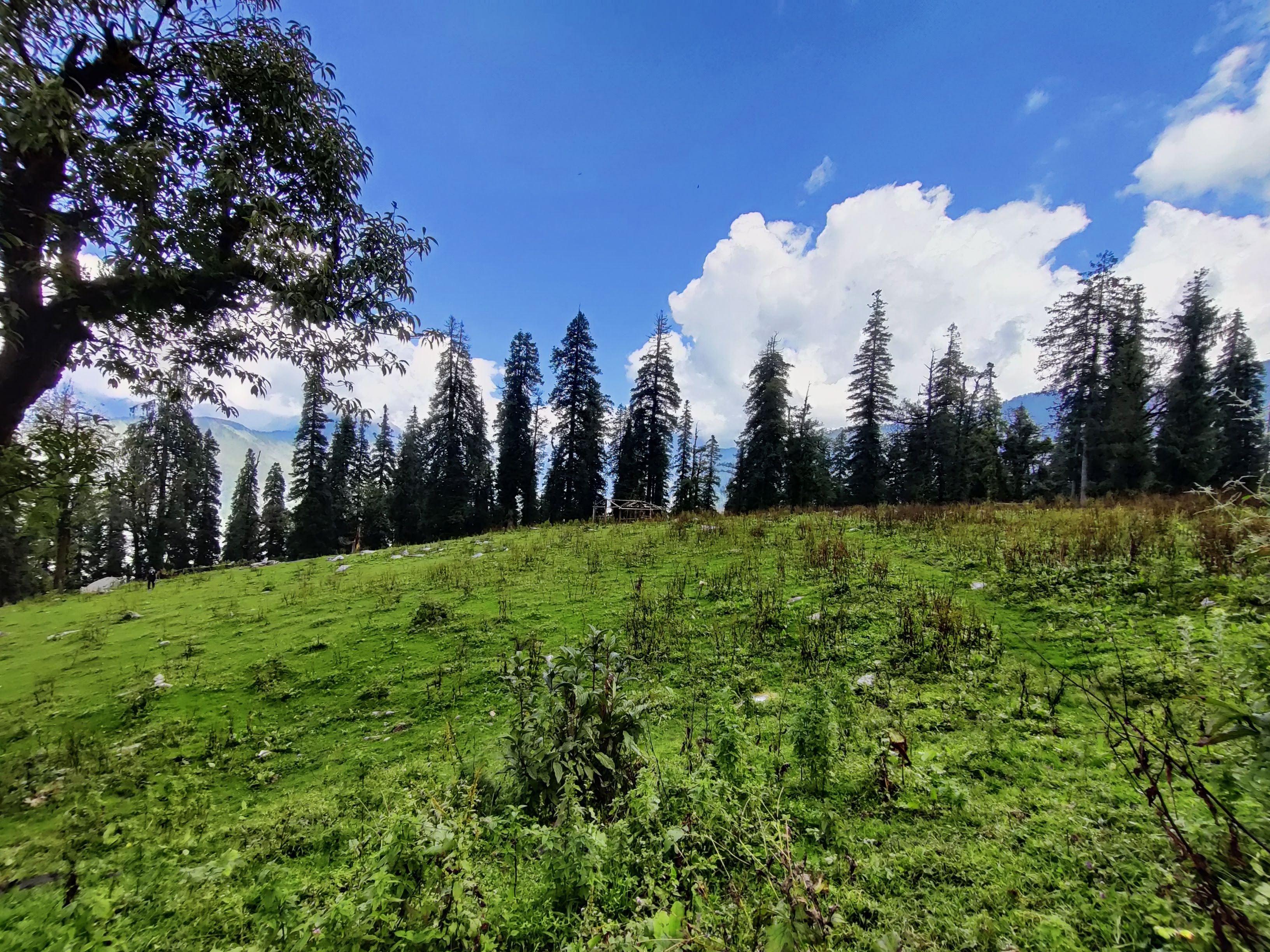
Summit treks have a built-in mercy: the hard part ends. You reach the top, you feel what you feel, and then gravity does the rest of the emotional work on the way down. A ridge doesn't offer that mercy. You're up there for hours, and the view stops being new around the ninety-minute mark. What's left after the view stops doing the work for you is just you, walking, with whatever mental noise you brought with you that morning.
On a group trip, that noise gets absorbed — someone cracks a joke, someone else needs help with their pack strap, and the ridge becomes background. Solo, there's no absorption. This isn't a warning against going alone; if anything it's the argument for it. A trek that forces four hours of uninterrupted contact with your own thinking is rare, and rarer still in a country where solo travel — especially for women — gets treated as a risk to manage rather than an experience worth having on its own terms. Group size here is capped at 6–12 with a certified trek leader, which means “solo” never means unsupported — you're simply solo inside a group, which is its own particular kind of company.
|
Duration |
6 days (4 nights trekking + travel days) |
|
Trek distance |
~26 km |
|
Base camp |
Sankri, Uttarkashi district, Uttarakhand |
|
Max altitude |
12,345 ft (~3,763 m) at the Phulara Ridge high point |
|
Difficulty |
Easy–Moderate |
|
Group size |
6–12 |
|
Best time |
Mid-May to June, and September to October |
|
Pickup point |
Prince Chowk, Dehradun |
|
Trek fee |
₹12,500 + 5% GST (optional: ₹250 trek insurance, ₹400/day backpack offloading) |
|
Nearest major town |
Dehradun (198 km / 9–10 hrs by road from Sankri) |
|
Network connectivity |
Patchy to none past Sankri — BSNL works best; carry cash |
By road: Dehradun to Sankri is roughly 198–210 km via Mussoorie, Nainbagh, Naugaon, Purola, Mori, and Naitwar — a 9–10 hour drive on mountain roads that get progressively narrower after Purola. ThinAir's pickup is from Prince Chowk, Dehradun, early morning, in a shared Bolero/Tempo/Sumo.
By train: The most reliable option from Delhi is the overnight AC train from Hazrat Nizamuddin to Dehradun, arriving around 5:45–6:30 AM — timed well for the morning pickup. From Mumbai, Kolkata, or Chennai, connect via Delhi.
By air: Jolly Grant Airport (DED) serves Dehradun with daily Delhi flights, about 25 km from the city. If flying, arrive a day early — flight delays plus the early pickup time don't leave margin for error.
Sankri is also the base camp for Kedarkantha, Har Ki Dun, and Ruinsara Tal — if your travel dates are flexible, it's worth checking whether a Kedarkantha batch is running the same week, since some infrastructure (guesthouses, local transport) overlaps.
Phulara Ridge runs through Govind Pashu Vihar National Park and Wildlife Sanctuary, so forest permits are mandatory and are arranged by ThinAir as part of the trek fee for Indian nationals — foreign nationals should confirm additional permit charges before booking, since these are handled separately by the forest department and can change with little notice.
Documents to carry: original + photocopy of a government-issued photo ID, and a medical fitness certificate from a registered doctor dated within roughly two weeks of the trek start. Submit both to your trek leader at Sankri before departure — without them, you will not be permitted onto the forest section of the route regardless of how far you've already travelled.
Fitness prep: this is an easy-to-moderate trek, but the Day 4 ridge stretch is a long day (5–6 hours, 7 km, with no water break) at altitude. A reasonable minimum: the ability to jog 4–5 km comfortably, or walk briskly for an hour uphill without significant breathlessness. Start conditioning at least 3–4 weeks out — stair climbs, brisk walking with a loaded daypack, and basic core work all transfer directly to ridge-day stamina.
Ridge walks this long are rare in Indian trekking. Most trails cross a ridge for fifteen or twenty minutes before dropping back down to escape the wind. Phulara Ridge is built the other way around: the ridge is the destination, not a passing feature.
A few things worth knowing before you commit to it:
• No water source for 3.5 km on the ridge stretch between Bhoj Gadi and Pushtara — carry 2–3 litres before you set out, since there's nowhere to refill until you reach camp.
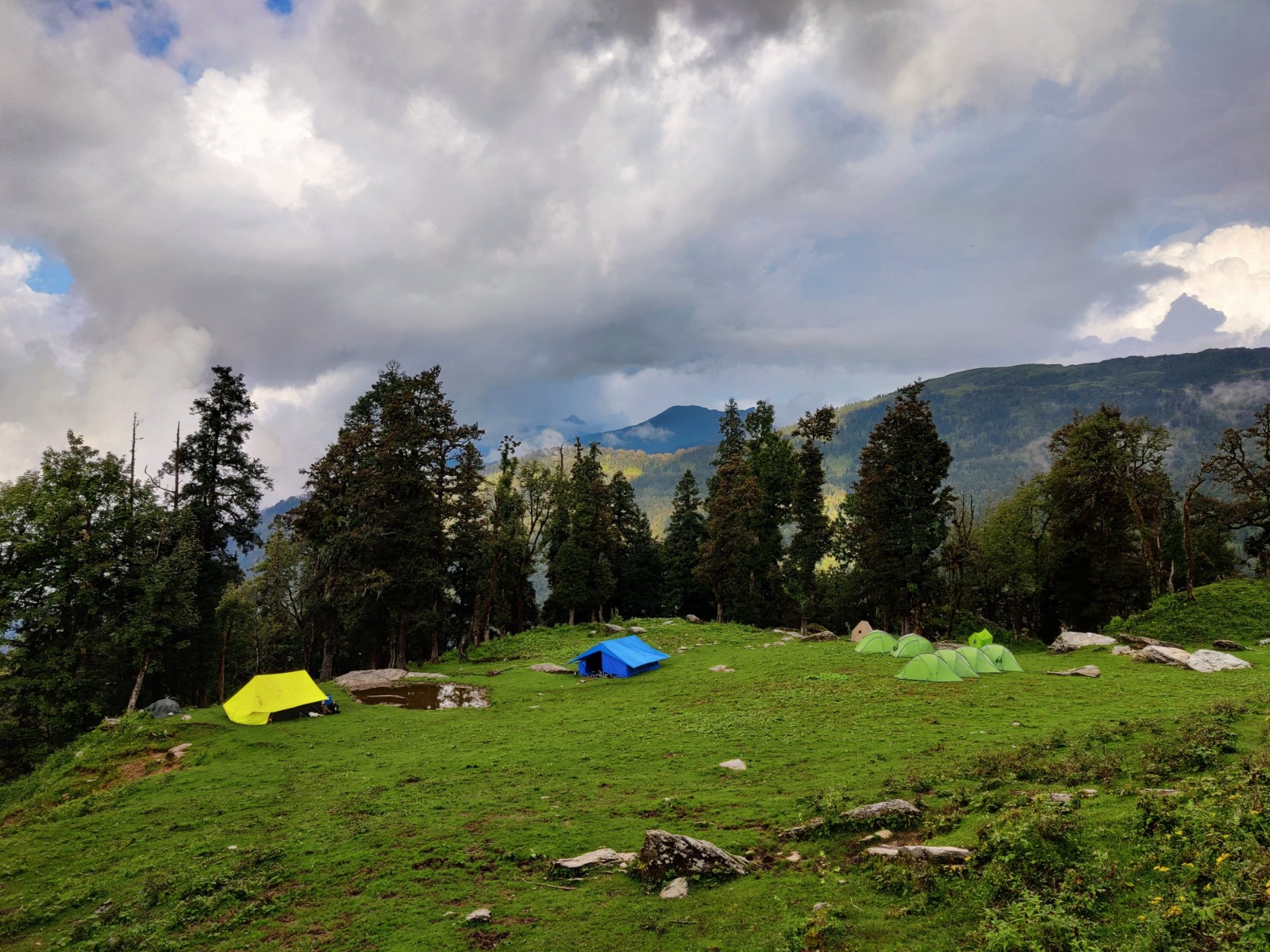
• No campfires are permitted at Bhoj Gadi or Pushtara, by Forest Department regulation — pack a proper thermal layer instead of counting on one.
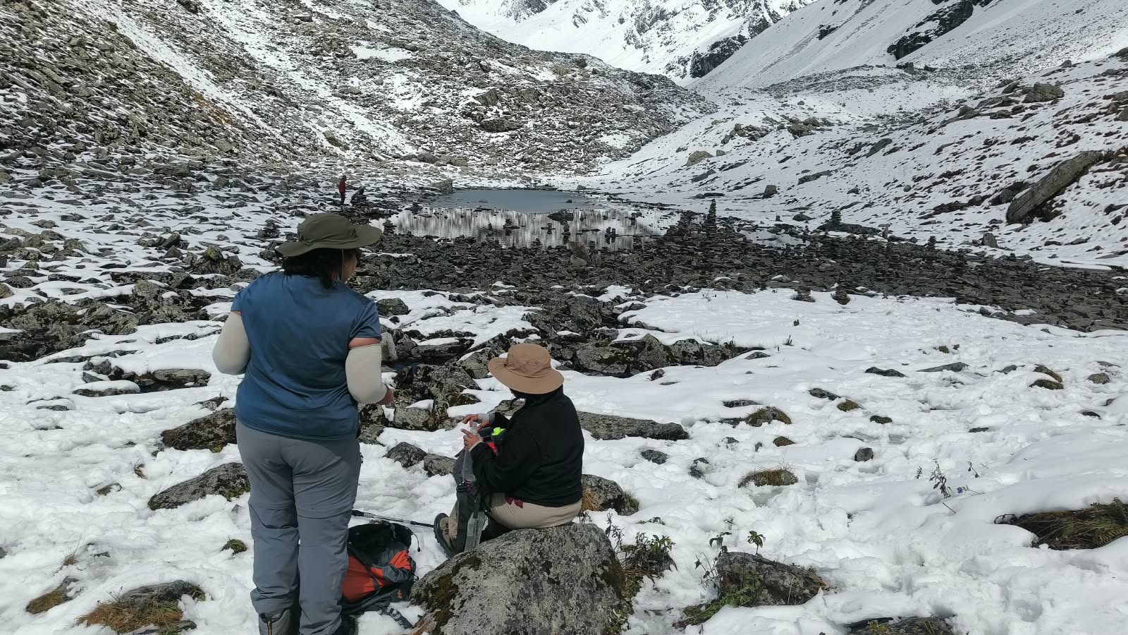
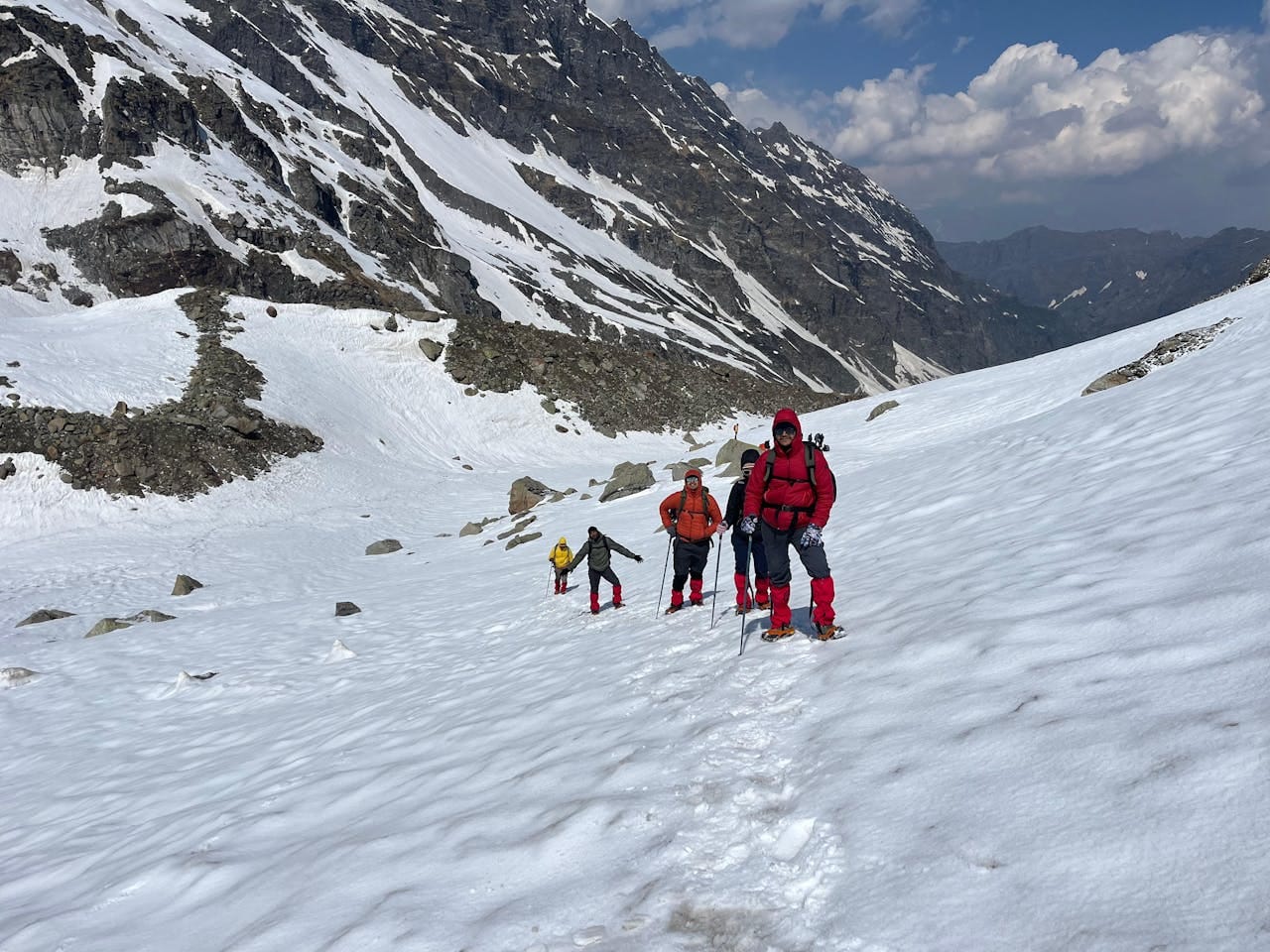
• Microspikes are typically issued for snow patches that can appear even in spring above 12,500 ft, since the ridge sits colder than the surrounding valleys.
• The one genuinely exposed section — a narrow crossing near the ridge crest with drops on both sides — is walked single file, slowly, and is the only part of the trek that isn't beginner-friendly.
• The ridge acts as a natural thermal corridor — expect stronger, more consistent wind here than anywhere else on the route, even on otherwise calm days.
Pickup from Prince Chowk, Dehradun, early morning. The drive climbs steadily through Mussoorie, Naugaon, Purola, and Naitwar before reaching Sankri by evening. This is a long travel day with almost no trekking — use it to rest, not to prove anything. Overnight in a guesthouse/homestay, with a route and safety briefing from your trek leader covering the water rule on Day 4 and the no-campfire policy ahead of time.
A gradual climb through pine and oak forest — good acclimatization terrain, not a hard first day. Camp is pitched near a high-altitude lake with real local folklore attached to it (the name translates loosely to “twin lake,” referring to a legend of two joined water bodies). Water crossings and small streams along the way mean refilling isn't an issue yet — that changes from Day 4 onward.
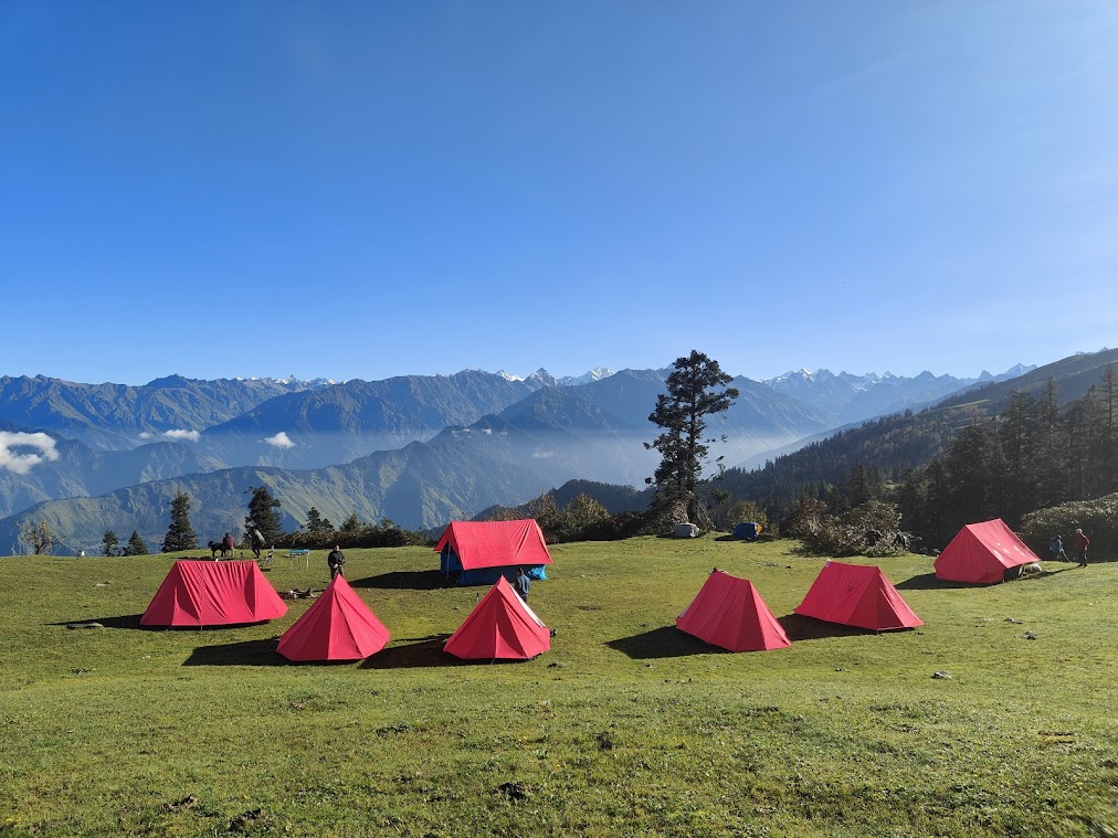
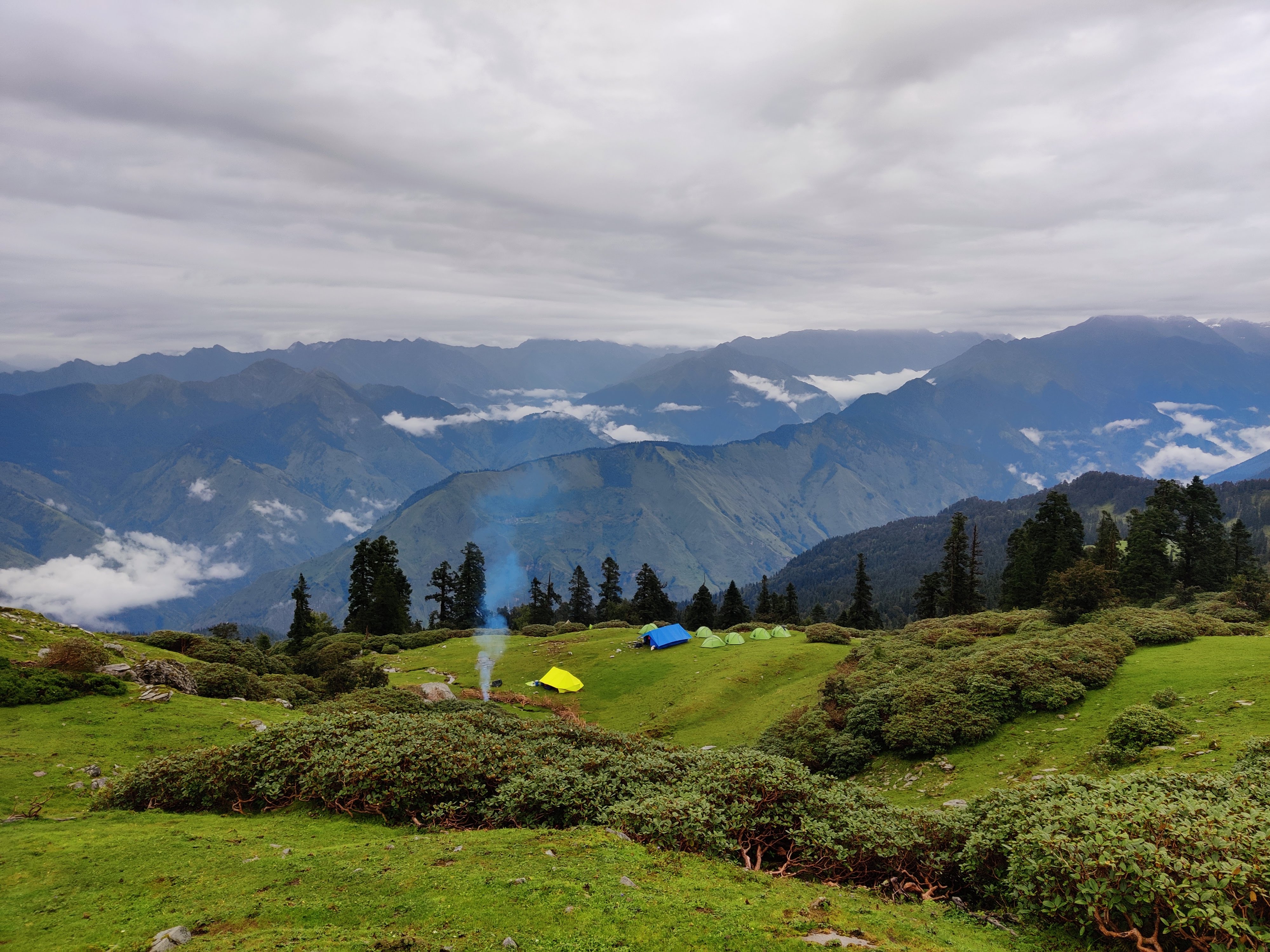
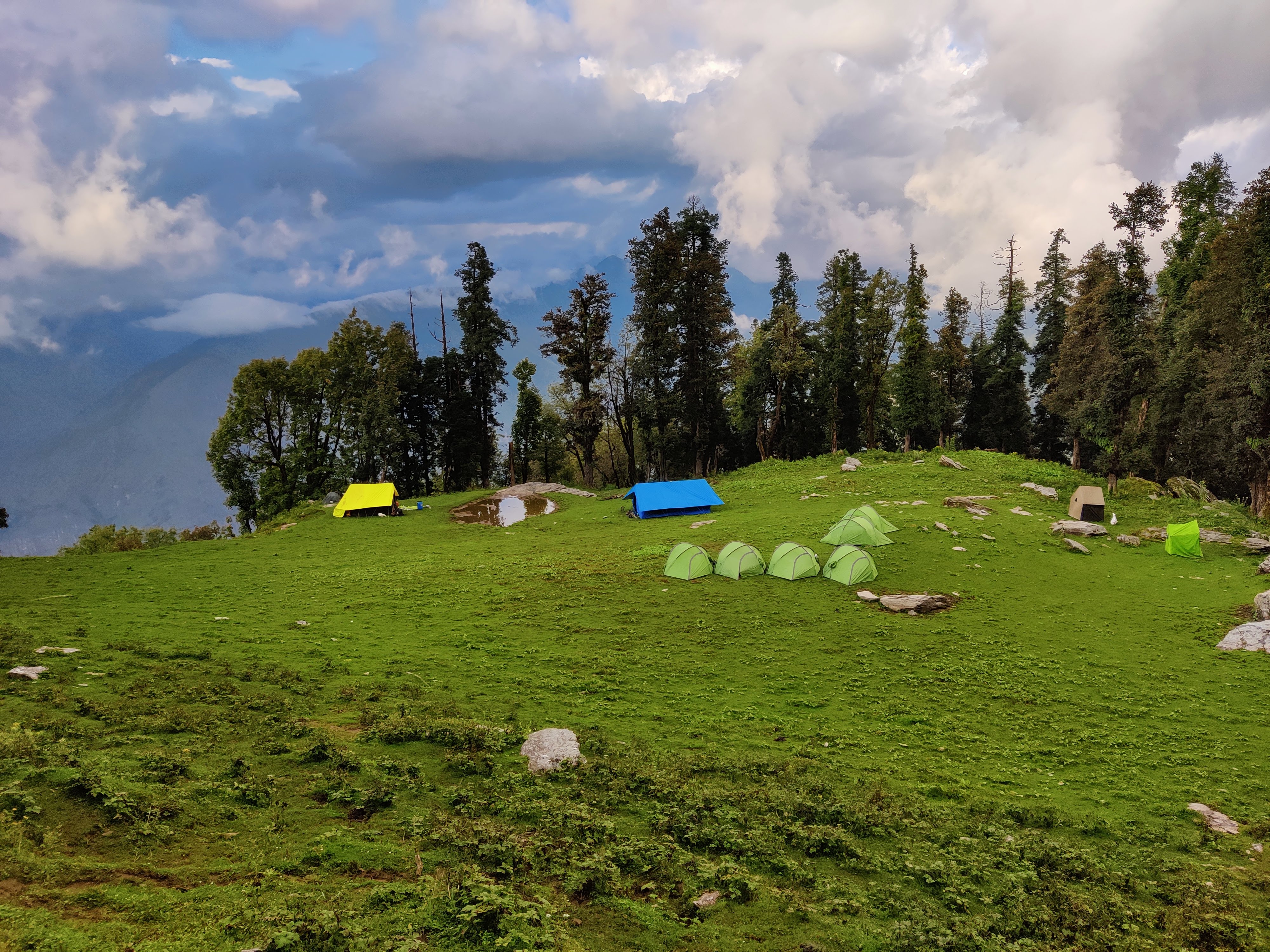
The forest thins out as you climb, and the first real Himalayan views open up — this is usually the first moment the trek feels like it's earning its name. Bhoj Gadi camp sits in open meadow with mountain backdrop and a genuinely striking sunset angle over the Kedarkantha side of the range. No campfire here, per forest regulation, so plan your evening layers accordingly; this is typically the coldest night of the trek relative to how exposed the camp feels.
This is the trek. Fill your bottles before leaving — there's no water until Pushtara, and this is the longest day by both distance and time. The trail opens onto the ridge itself within the first hour: Swargarohini, Bandarpoonch, and Kalanag visible for hours rather than minutes, with valley dropping away on both sides. Wind is near-constant here even on calm mornings — a windproof shell earns its weight on this day specifically. The exposed crossing near the top is walked single file, slowly, under your trek leader's direction. Descend into Pushtara meadow by mid-afternoon, where the terrain opens into one of the most photographed meadows on any Sankri-based trek.
Descend through rhododendron, oak, and pine forest to the riverside village of Taluka — a noticeable shift back into inhabited, cultivated land after four days of forest and meadow. A short drive from Taluka back to Sankri closes the loop.
Return drive to Dehradun after breakfast. Build in buffer if you have a same-day onward flight or train — mountain-road delays are common and not something a trek leader can control.
Trek fee: ₹12,500 + 5% GST.
Optional add-ons: ₹250 trek insurance, ₹400/bag/day backpack offloading (up to 12 kg).
Included:
• Forest permits and camping fees (Indian nationals; additional charges apply for foreign nationals)
• All meals from arrival at Sankri through breakfast on the last trek day — vegetarian with eggs; Jain and vegan options on prior request
• Certified trek leader (AMC/BMC/NIM-trained), local guides, cook, helpers, porters and mules for common equipment
• Tents, sleeping bags, and a properly stocked first-aid kit
• Free cloakroom facility at base camp for extra luggage
• Trained rescue and search-support coordination through the trek leader network
Not included:
• Travel from your hometown to the Dehradun pickup point
• Personal gear rental, personal expenses, trek insurance (mandatory, arranged separately)
• Backpack offloading and any buffer-day costs if used
• Food during transit between Dehradun and Sankri on Day 1 and Day 6
• Any unplanned accommodation in Dehradun outside the fixed itinerary
Cash is strongly recommended — Sankri is remote, and digital payments are unreliable through much of the trek.
Breakfast: lemon tea, upma, besan chilla, aloo paratha, daliya, fresh fruit.
Lunch: roti, dal, seasonal vegetables, salad — packed lunch on ridge day.
Evening snacks: tea, coffee, soup, light snacks.
Dinner: roti, rice, seasonal sabzi, dal, papad, simple dessert.
Menu varies by availability at altitude — treat this as representative, not fixed.
Summer (April–June): Day 20°C / Night 5°C. Warm, occasional rain showers, meadows greening up. Rhododendrons and early alpine flowers appear at lower elevations. Good for first-timers and families.
Monsoon (July–September): Day 17°C / Night 5°C. Landscape turns intensely green, but trails can be slick and leech activity picks up in the lower forest sections. Not the recommended window for this specific trek given the exposed ridge day.
Autumn (October–November): Day 15°C / Night 4°C. Clear skies, sharp visibility, ideal stargazing. Widely considered the best photography window.
Winter (December–February): Day 10°C / Night -6°C. Snow-covered trail, technically demanding without prior snow-trekking experience — microspikes become essential rather than optional. Recommended only for trekkers with cold-weather experience.
Spring (March–mid-April): Day 11°C / Night -3°C. Transitional season, patchy snow at higher camps, fewer crowds than the May–June window.
Two windows work well, and they offer genuinely different trips rather than just different weather:
• Mid-May to June: lush green meadows, blooming alpine flowers including yellow alpine poppy at Pushtara, daytime temperatures around 12–18°C. Better for families and first-time trekkers.
• September to October: crisp air, golden light, sharply clear views of the snow line, daytime temperatures around 10–15°C dropping to -2–4°C at night. Better for photography and stargazing.
Lower elevations run through oak, maple, and pine forest with wildflowers, ferns, and moss; the trail opens into alpine meadow (bugyal) above the treeline. The ridge itself acts as a thermal updraft corridor, which is why Himalayan Griffon vultures and golden eagles are commonly seen soaring at eye level along the crest — a straightforward consequence of the ridge's geometry, not luck.
Wildlife sightings are opportunistic rather than guaranteed:
• Himalayan musk deer — solitary and rarely seen; patience, not luck, is the main variable
• Himalayan monal — the state bird of Uttarakhand, occasionally spotted in the forest sections with its distinctive blue-green-copper plumage
• Himalayan thar — seen on rockier terrain near the ridge, identifiable by its curved horns
• Himalayan black bear — present in the dense forest sections; trek leaders brief groups on noise discipline to avoid surprise encounters
Basic items: 50–60L backpack with padded straps, 10–15L daypack, 2 litres water bottle capacity minimum, dry fruits/energy bars/ORS, personal first aid as advised by your doctor, high-ankle waterproof trekking shoes with flexible sole.
Clothing: 2–3 collared T-shirts, 2 fleece jackets, 1 thermal set, 1 padded/down jacket, 2 trek pants (avoid jeans, capris, shorts), waterproof gloves, woollen cap, sun cap, rain poncho or rain pant + jacket, rain covers for backpack and daypack.
Accessories: UV-protection sunglasses, toiletries (including menstrual products for female trekkers, since these aren't reliably available past Sankri), lip balm and moisturizer for wind/altitude exposure.
Trek accessories: trekking pole (genuinely useful on the Day 4 descent into Pushtara), head torch with spare batteries.
Documents: original + photocopy of government ID, medical fitness certificate.
At a maximum altitude of 12,345 ft, Phulara Ridge sits below the range where severe altitude sickness is common, but mild symptoms — headache, breathlessness on exertion, reduced appetite — are still possible, particularly for trekkers arriving directly from sea-level cities without any acclimatization buffer. Hydration and pace, not speed, are the two levers that matter most: drink consistently rather than in large amounts at once, and let your trek leader set the pace on ascents.
Every batch carries a first-aid kit with basic altitude-relevant supplies, and trek leaders are trained to recognize early symptoms and adjust pace or, if needed, arrange descent. Report symptoms early rather than pushing through them — this is the single most common piece of advice mountain rescue teams repeat, and the one most trekkers ignore until it's no longer a minor issue.
• Camping under genuinely dark skies at Bhoj Gadi and Pushtara — minimal light pollution makes this one of the better stargazing stretches among Sankri-based treks
• River rafting on the Tons River near Mori, en route back to Dehradun, for those with a day to spare
• Birdwatching, particularly along the ridge itself where raptors are visible at close range due to the updraft
• Walking through Taluka and Sankri villages, where Garhwali architecture and daily village life are visible in a way most itineraries only pass through rather than pause in
All three treks share the same Sankri base camp, which makes them easy to confuse when comparing options:
• Kedarkantha trek: shorter (5–6 days), a single defined summit push, more crowded, better suited to trekkers who want a clear peak and a fast winter-snow experience.
• Har Ki Dun trek: valley trek rather than ridge or summit, gentler gradient throughout, strongest for trekkers prioritizing cultural villages (Osla) and river valley scenery over high-altitude drama.
• Phulara Ridge: the only one of the three built around sustained ridge walking rather than a single peak or valley floor — the differentiator is duration of exposure to the view, not its intensity.
How difficult is the Phulara Ridge Trek?
Easy to moderate. Gradual ascents and well-marked trails suit beginners; the only genuinely demanding stretch is a narrow, exposed crossing near the ridge crest.
Is it suitable for solo trekkers, including women trekking alone?
Yes — group sizes of 6–12 with a certified trek leader mean solo trekkers join an existing group rather than trek alone on the trail. Solo female trekkers have specifically noted feeling safe and well looked-after on this route.
What's the best time to do this trek?
Mid-May to June for green meadows and blooming flowers, or September to October for clear skies and crisp autumn light.
Is there mobile network or digital payment access at Sankri?
Network is unreliable and digital payments are difficult to rely on in the remote sections — carry cash.
What's the minimum age?
Generally suitable for trekkers above 10 years old, subject to fitness.
Do I need prior trekking experience?
No — the trek is beginner-friendly, though basic cardio fitness (comfortable 4–5 km jog or brisk uphill walking) makes the Day 4 ridge stretch noticeably easier.
Is there a water source on every day of the trek?
No — Day 4, between Bhoj Gadi and Pushtara, has no water source for roughly 3.5 km. Carry 2–3 litres before setting out that morning.
Can campfires be arranged at the campsites?
No — campfires are prohibited at Bhoj Gadi and Pushtara under Forest Department regulation. Pack proper thermal layers instead.
What happens if weather forces a change to the itinerary?
The itinerary is tentative and can shift based on weather or trail conditions at the trek leader's discretion — safety takes priority over the fixed schedule.
By the time you're descending through Taluka's forest on Day 5, the ridge already feels like something that happened to a slightly different version of you — the one who hadn't yet carried three litres of water for four hours, or stood still in wind that strong, or realised that the group around a bad-signal, campfire-less camp can matter more than the view everyone came for.
Phulara Ridge doesn't hand you a summit photo and send you home. It gives you hours on a knife-edge between two valleys to sit with exactly how well you handle discomfort you can't shortcut. That's a harder thing to advertise than a mountain view — and it's the only part of this trek that actually stays with you.