Valley of Flowers The Trek That Does not Ask You to Be Fit for Adventure
Valley of Flowers The Trek That Does not Ask You to Be Fit for Adventure
14
Jul

By a ThinAirExpedition trek writer, built from field data supplied by our Govindghat-based trek leaders.
Local shepherds avoided this valley for generations before 1931. Not because the terrain was dangerous — it isn't, particularly — but because of a belief that the meadow was watched over by spirits, and that wandering too far into it invited something you couldn't undo. Then a British mountaineer named Frank S. Smythe got lost in bad weather on a descent from a nearby peak, stumbled into a meadow exploding with color, and spent enough time there afterward to write an entire book about it. The valley had a name within a few years. The fear mostly hasn't survived; the meadow's strangeness has.
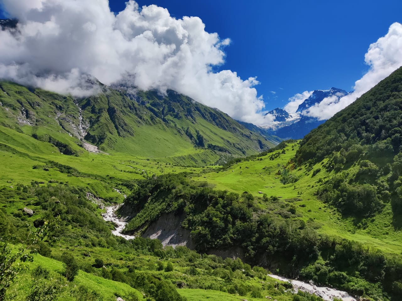
What actually earns the strangeness is simpler than mythology: the Valley of Flowers sits in the transition zone between the Zanskar and Greater Himalaya ranges, which means its plant life changes almost week to week through the monsoon. Walk it in early July and you get one valley — neon-green, just waking up from snowmelt. Walk the same trail three weeks later and entirely different species have taken over the same ground. Nowhere else on a standard Himalayan itinerary does the landscape itself refuse to hold still.
This is also, unusually for a Himalayan trek, a genuinely good first trek — for a ten-year-old, a first-timer, or someone who wants scenery without punishment. But moderate isn't the same as easy, and the trek asks more of your legs and your rain gear than its gentle reputation suggests. It runs entirely through monsoon season, which is the part most first-time trekkers underestimate: the challenge here isn't altitude or exposure, it's wet trail, wet gear, and a genuine need for patience with weather that has its own plans regardless of your itinerary.
|
Duration |
6 days |
|
Trek distance |
~38 km total (Valley of Flowers ~11,550 ft / 3,500 m; Hemkund Sahib ~14,100 ft / 4,329 m) |
|
Base camp |
Ghangaria, via Govindghat, Uttarakhand |
|
Difficulty |
Moderate |
|
Group size |
6–12 |
|
Best time |
July–September (the valley is only open during monsoon) |
|
Pickup point |
Rishikesh (some listings show Dehradun — confirm at booking) |
|
Trek fee |
₹21,000 + 5% GST (optional: ₹250 trek insurance, ₹400/day backpack offloading) |
|
Recognition |
UNESCO World Heritage Site, within Nanda Devi Biosphere Reserve |
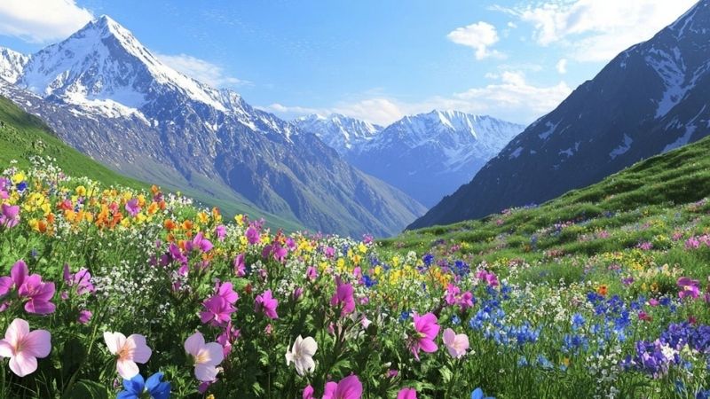
Over 500 recorded flower species grow here, including the Brahma Kamal — considered sacred in Hindu tradition and closely associated with Hemkund Sahib — and the blue poppy, sometimes called the queen of Himalayan flowers. A specific vantage point partway through the valley, known locally as Blue Poppy Point, sits at roughly 3,500 m and offers the clearest morning view of both the Garhwal range and the poppies it's named for.
The valley isn't accessible year-round — it's officially open only from early June through late October, and the trekking window that actually shows flowers is narrower still, concentrated in July and August. Outside that window, there's no trek to do here at all; the valley is simply closed.
July — Reawakening: snow has just cleared, the valley is a striking neon green, and early bloomers like Himalayan balsam, anemone, and primula appear first. Trails are relatively empty, though patches of snow can linger above Hemkund Sahib and landslide risk on the drive in is moderate to high.
August — Prime Season: the peak bloom, with blue poppy, Brahma Kamal, river anemone, and golden lilies all flowering at once. This is also the busiest, wettest month — expect mud, wet gear, and a real chance of road delays from rain.
September — Golden Fade: monsoon eases, skies clear, and mountain views sharpen — but the flowers themselves are going to seed, with pinks and blues giving way to yellows, oranges, and browns. Better for photography of the mountains than the meadow.
Frank S. Smythe was a British mountaineer, and an enthusiastic amateur botanist, on his way down from an expedition nearby in 1931 when poor weather pushed his party off-route into what was then known locally as Bhyundar Valley. He returned the following year specifically to document it properly, and later published a book — The Valley of Flowers — that gave the meadow its enduring English name and introduced it to a much wider audience than local shepherds ever had reason to. The valley was declared a national park in 1982 and a UNESCO World Heritage Site in 2005, jointly with the surrounding Nanda Devi Biosphere Reserve.
The valley's ecosystem sits in what botanists call a transition zone — the meeting point between the drier Zanskar range and the wetter Greater Himalaya — which is the actual mechanical reason its plant life shifts so visibly week to week. It isn't mystical variability; it's two different climate systems trading dominance over the same ground through a single monsoon season.
Hemkund Sahib's altitude (4,329 m) is high enough that mild altitude symptoms — headache, breathlessness, fatigue — are possible, particularly if you push the pace on the steep final stretch. The standard defenses apply here as everywhere: steady pace over speed, consistent hydration, and reporting symptoms to your trek leader rather than pushing through them. Because this trek runs entirely during monsoon, the more common day-to-day risk isn't altitude but weather — sudden rain, slick stone steps on the Hemkund Sahib climb, and the real possibility of road delays on the Rishikesh–Govindghat drive if landslides close sections of the route. None of this should discourage the trip; it's simply the reason a buffer day and proper rain gear matter more here than on a spring or autumn trek.
The drive follows the Alaknanda River through the Panch Prayag confluences — Devprayag, Rudraprayag, Karnaprayag, and on toward Joshimath — before reaching Govindghat.
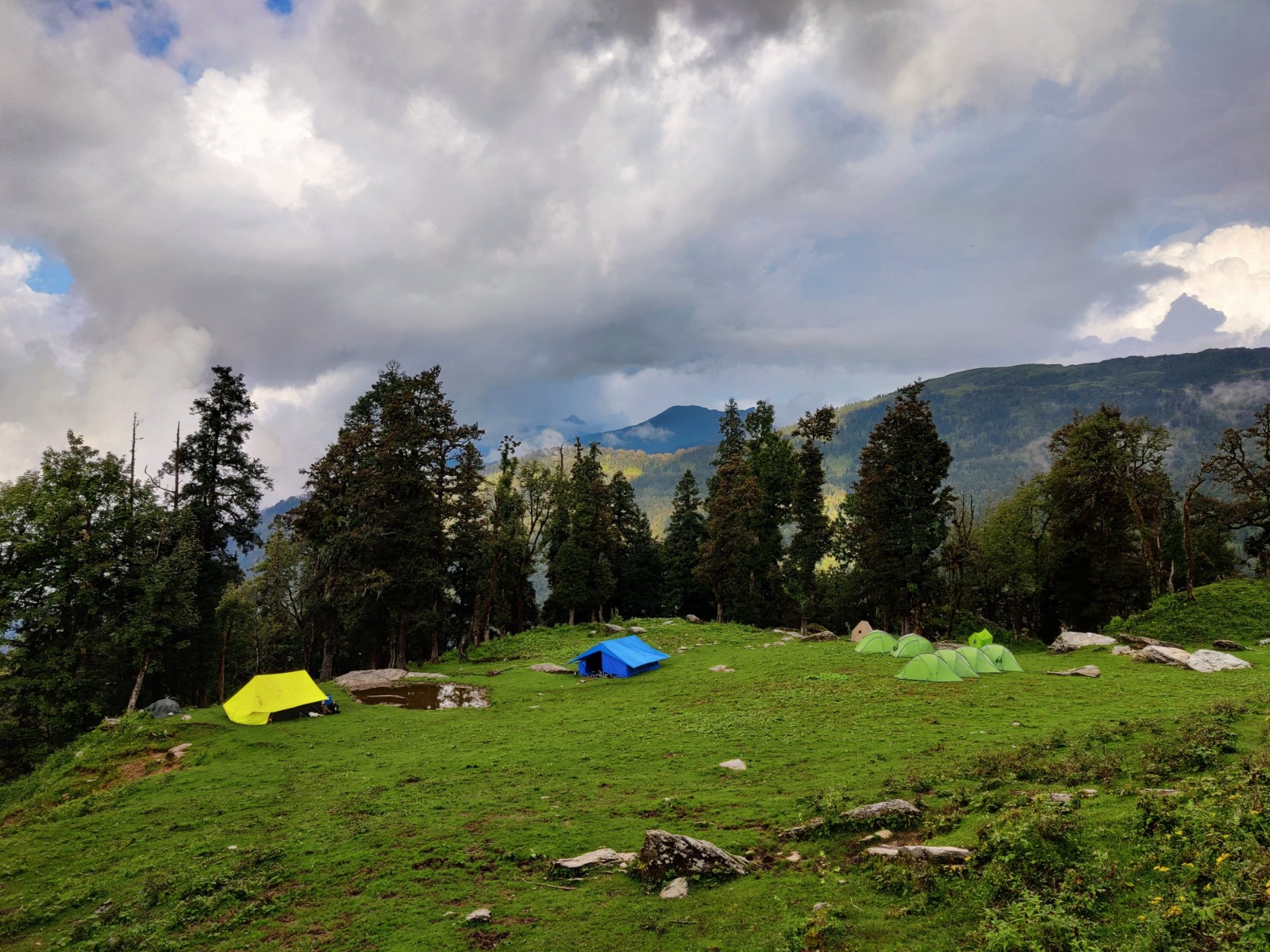
A steady, well-paved ascent alongside the Lakshman Ganga river, through pine and rhododendron forest, passing waterfalls near Ghangaria before reaching the base camp for both excursion days ahead.
A gentle ascent inside a UNESCO World Heritage Site — meadows dense with flower species most trekkers won't be able to name, the Pushpawati River threading through the valley floor, and a real chance of spotting Himalayan monal or musk deer if the group stays quiet.
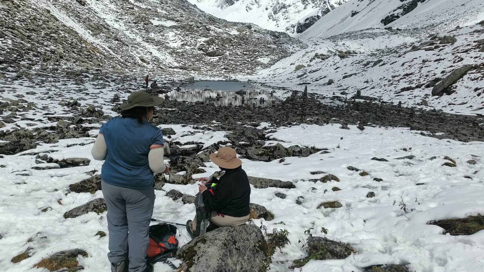
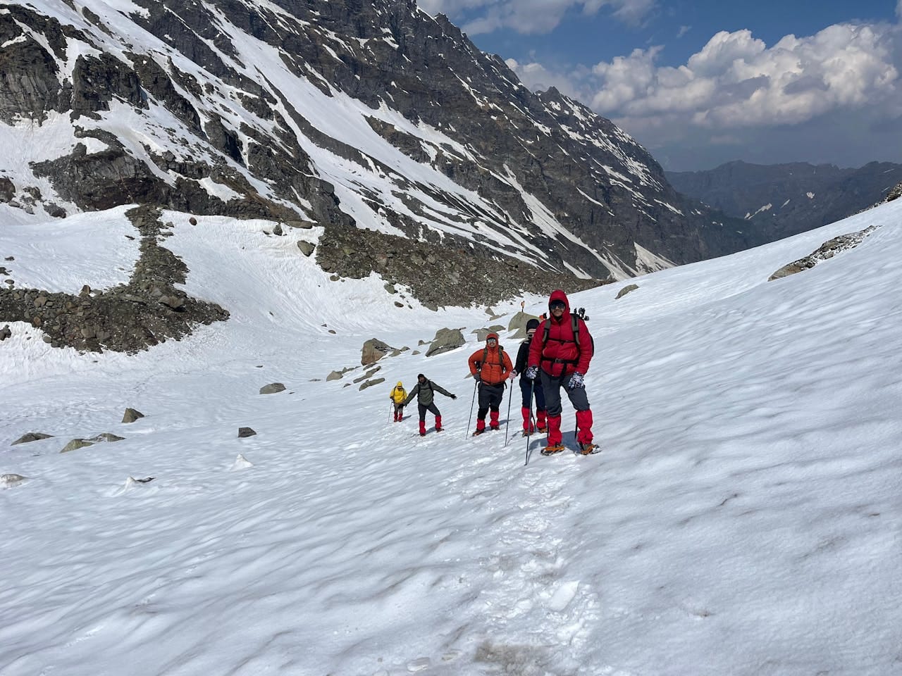
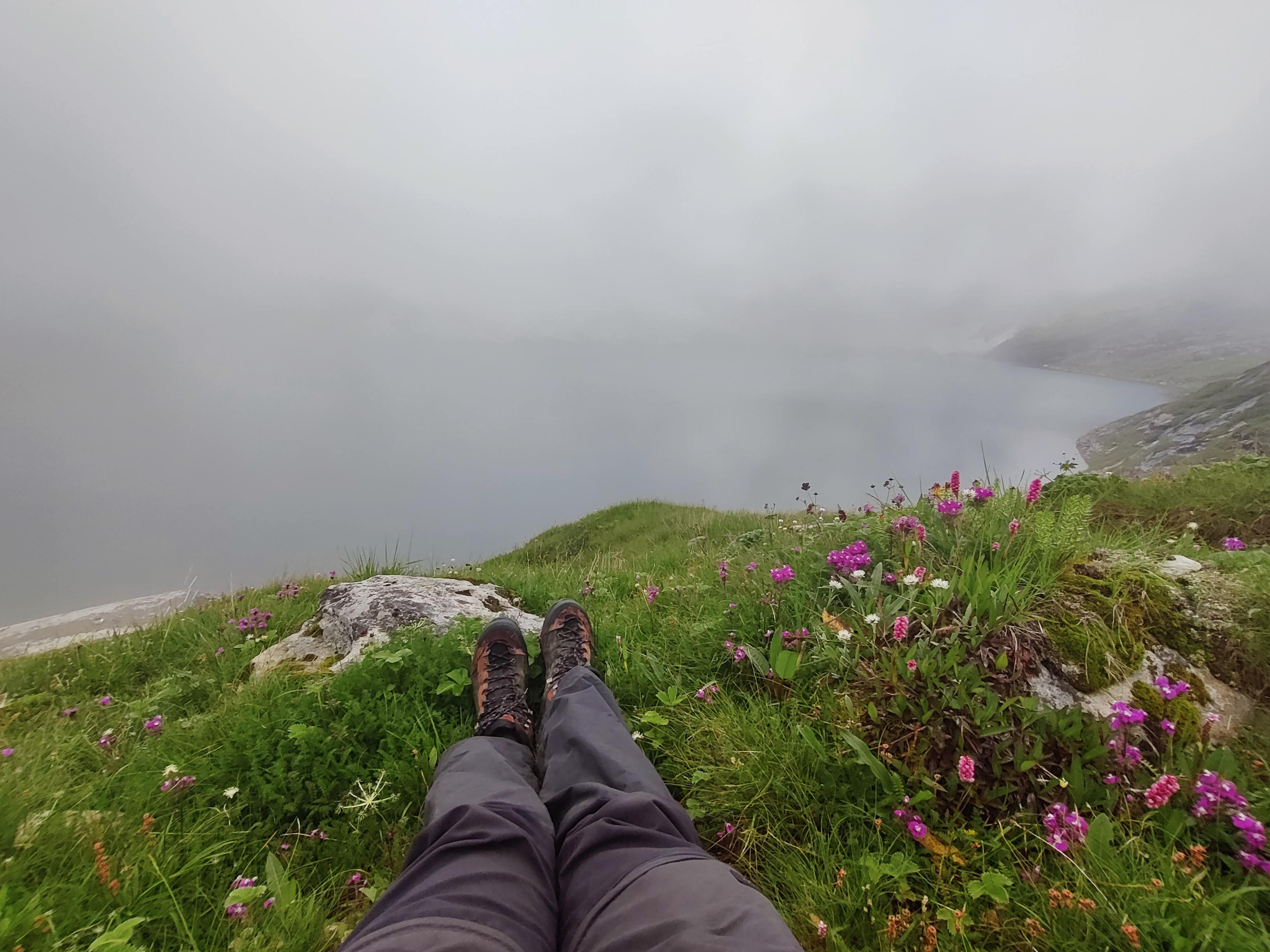
A genuinely steep, stone-paved climb to one of the highest Sikh shrines in the world — a gurdwara set beside a glacial lake, ringed by seven snow-capped peaks, with a langar (free communal meal) served regardless of faith. The Lakshman Temple sits on the same lakeshore. This is the hardest day of the trek by a wide margin; the Valley of Flowers day is a warm-up for this one, not the other way around.
A straightforward descent retracing Day 2's route, with a final look at the waterfalls near Ghangaria.
Return drive, arriving in Rishikesh by evening. Build in buffer for onward travel given monsoon-season road conditions.
Trek fee: ₹21,000 + 5% GST.
Optional add-ons: ₹250 trek insurance, ₹400/bag/day backpack offloading.
Included:
• Transport from Rishikesh to Rishikesh
• Twin/triple/quad-sharing accommodation
• All vegetarian meals, Day 1 breakfast through Day 6 lunch
• Experienced trek leader, local guide, and support staff
• Basic first-aid support and trek coordination
Not included:
• Personal backpack offloading charges and travel insurance
• Personal expenses and emergency evacuation charges
• Valley of Flowers National Park entry fee and Hemkund Sahib entry fee (if applicable)
• Costs from weather delays, road blockages, or landslides
“Moderate” undersells the physical demand here — rocky trails, real elevation gain, and steep stretches (especially on Hemkund Sahib day) mean a lack of conditioning shows up fast as cramps or knee pain. A reasonable target: complete 5 km continuously in around 35 minutes, built over 4–6 weeks of aerobic training (jogging, cycling, or swimming, 4 sessions a week) plus stair climbing — 20–30 floors with a light pack — and basic strength work (squats, walking lunges, calf raises, planks).
Trekking poles aren't optional gear here so much as knee insurance — they measurably reduce joint strain on the steep Hemkund Sahib descent.
This trek runs entirely inside monsoon season, which changes the packing logic completely: the operating principle is waterproof everything, not warmest everything. Skip jeans and cotton entirely — both hold water and refuse to dry. Bring moisture-wicking full-sleeve tops, water-resistant trekking trousers, a proper poncho sized to cover your daypack as well as yourself, and a genuine Gore-Tex-style waterproof boot rather than a merely water-resistant one.
Ghangaria has no reliable electricity during heavy rain, so a 20,000 mAh power bank is closer to essential than optional. Pack everything — clothes, electronics, documents — in separate ziplock or dry bags inside your main pack; a single soaked duffel is the most common avoidable disaster on this trek.
• Stay on the trail — stepping into the flower beds for a photo damages root systems that take years to recover, on a trail already worn by heavy foot traffic.
• Local carrying agents — porters, mules, or traditional kandi/dandi palanquins available at Pulna and Ghangaria — are a legitimate option if the terrain is genuinely difficult for you, and using them supports the local mountain economy directly.
• Monitor landslide news from Joshimath and Rishikesh through the monsoon and keep a buffer day in your plans — road delays here are a when, not an if.
Beyond the blue poppy and Brahma Kamal, the valley's recorded 500+ species include orchids, primulas, zinnias, and dozens of medicinal herbs used in traditional local medicine — which is itself part of why the shepherd-era caution about the valley made a kind of practical sense, since unfamiliar plants at altitude aren't something to forage casually. Wildlife sightings are opportunistic rather than staged: Himalayan monal (Uttarakhand's state bird, with distinctive iridescent plumage) and musk deer have both been recorded along the trail, more often heard or briefly glimpsed than photographed.
Worth being direct about where this fits relative to Kedarkantha, Brahmatal, or Phulara Ridge: those are winter or shoulder-season treks built around snow, summits, or sustained ridge exposure. Valley of Flowers is the only one of ThinAir's Uttarakhand treks that exists entirely because of monsoon — it has no winter version, no snow-trek variant, and no year-round window. If you want the gentlest entry point into Himalayan trekking with genuinely unique scenery rather than a summit-chasing structure, this is the one; if you want snow, a summit push, or a ridge walk, look toward the winter-season treks instead.
How difficult is the Valley of Flowers trek?
Moderate — manageable for reasonably fit trekkers of most ages, but the Hemkund Sahib day is genuinely steep and shouldn't be underestimated.
What's the best time to visit?
Mid-July to mid-August for peak bloom; the valley is only open roughly June through October.
How far is it from Govindghat to the Valley of Flowers?
About 9 km to Ghangaria, then a further ~3.7 km one-way into the valley itself — roughly 12.7 km one-way in total.
Which river flows through the valley?
The Pushpawati River, which originates from a glacier near the valley.
Is there a temple near Hemkund Sahib?
Yes — the Lakshman Temple (also called Lokpal Temple) sits on the same lakeshore as the gurdwara.
Is this a good trek for kids or first-timers?
Yes, with the caveat that the Hemkund Sahib day is the hardest day of the trek and should be planned for accordingly, not treated as an afterthought.
Is Valley of Flowers a UNESCO World Heritage Site?
Yes.
Can I visit outside July-September?
No — the park is officially closed roughly November through May, and there's no trek to run outside its open season.
What if it rains for most of the trek?
It likely will, at least some days — this is a monsoon-season trek by design. Proper waterproof gear matters more than luck here.
Are there ATMs or shops in Ghangaria?
Very limited — carry sufficient cash and any specific supplies you need before leaving Govindghat.
Most Himalayan treks leave you with a summit photo. This one leaves you with the strange experience of a landscape that was visibly different three weeks before you arrived and will be different again three weeks after you leave — a place that was actively avoided out of fear less than a century ago, now walked by families and first-timers every monsoon. The shepherds who stayed out of this valley weren't entirely wrong that something unusual was happening here. They just had the wrong explanation for it.