Ranthan Kharak Trek Route Itinerary Best Time Cost
Ranthan Kharak Trek Route Itinerary Best Time Cost
13
Oct

The Ranthan Kharak Trek is an offbeat Himalayan adventure in Uttarakhand’s Kumaon region, known for its forest trails, alpine clearings, remote mountain villages and panoramic Himalayan scenery. Unlike some of the more commercialised trekking destinations, this trek offers an opportunity to explore quieter mountain landscapes and experience the natural beauty of the Kumaon Himalayas.
The journey involves several days of walking through changing terrain, from traditional villages and dense forests to high-altitude meadows and exposed mountain slopes. For trekkers who enjoy peaceful trails, challenging ascents and rewarding mountain views, Ranthan Kharak can be an exciting addition to their Himalayan trekking plans.
This comprehensive guide covers the Ranthan Kharak Trek route, itinerary, distance, difficulty, best time to visit, transportation, estimated cost and essential preparation to help you plan your journey.
The Ranthan Kharak Trek is a multi-day Himalayan trek that generally begins at Gogina village and passes through Namik and higher mountain camps before reaching Ranthan Top. The route combines village trails, forested ascents, open clearings and a demanding summit section.
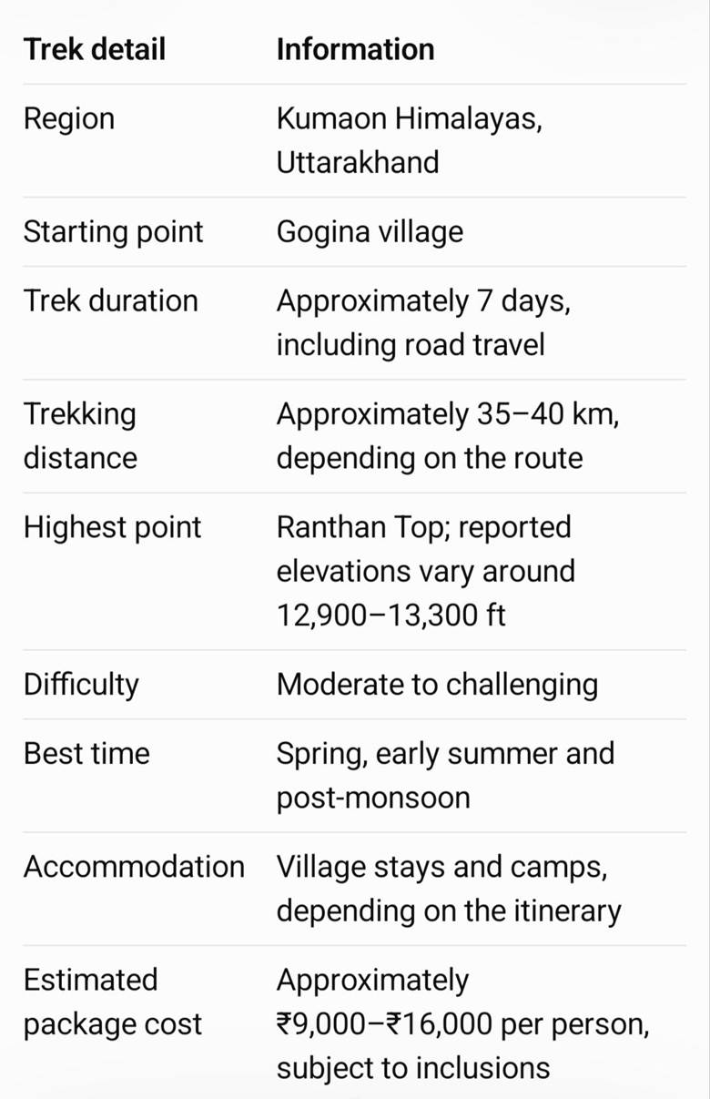
These figures are indicative planning estimates, not guaranteed specifications. The final distance, altitude, overnight camps and duration can vary according to the route followed by the trekking operator.
The trek is suitable for reasonably fit travellers who enjoy multi-day outdoor adventures. However, the remote location, limited facilities and long summit day mean that it should not be approached as a casual walk. Preparation, appropriate equipment and reliable trekking support are essential.
Ranthan Kharak is located in the Kumaon Himalayas of Uttarakhand. The usual approach is through Gogina village, reached by road from the Kumaon region via places such as Bageshwar and Kapkot.
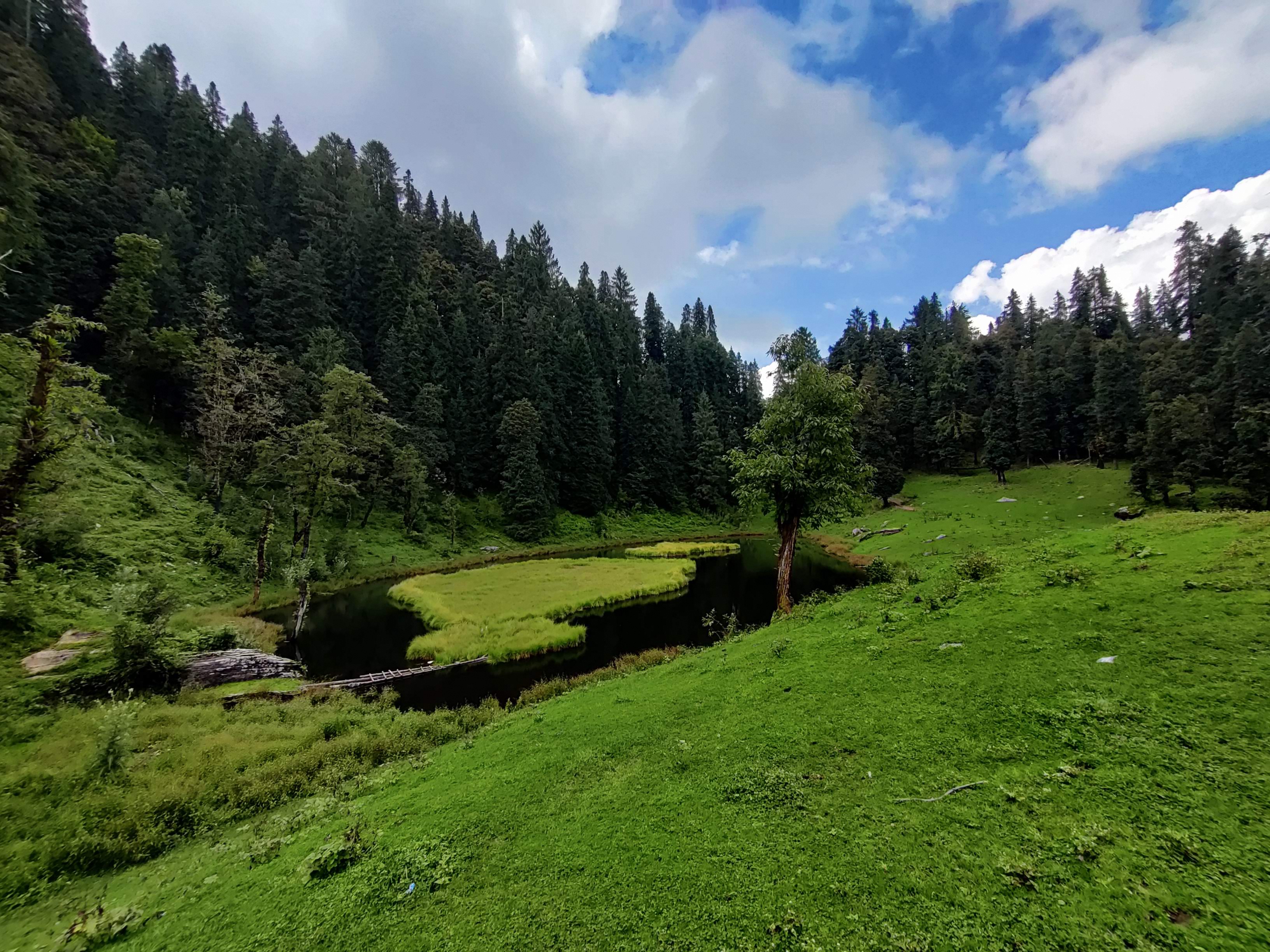
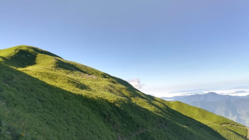
The surrounding landscape reflects the quieter side of Himalayan life. Traditional settlements, terraced fields and forested mountain slopes gradually give way to higher clearings and alpine terrain. The changing landscape is one of the attractions of the Ranthan Kharak Trek, allowing trekkers to experience several natural environments during a single journey.
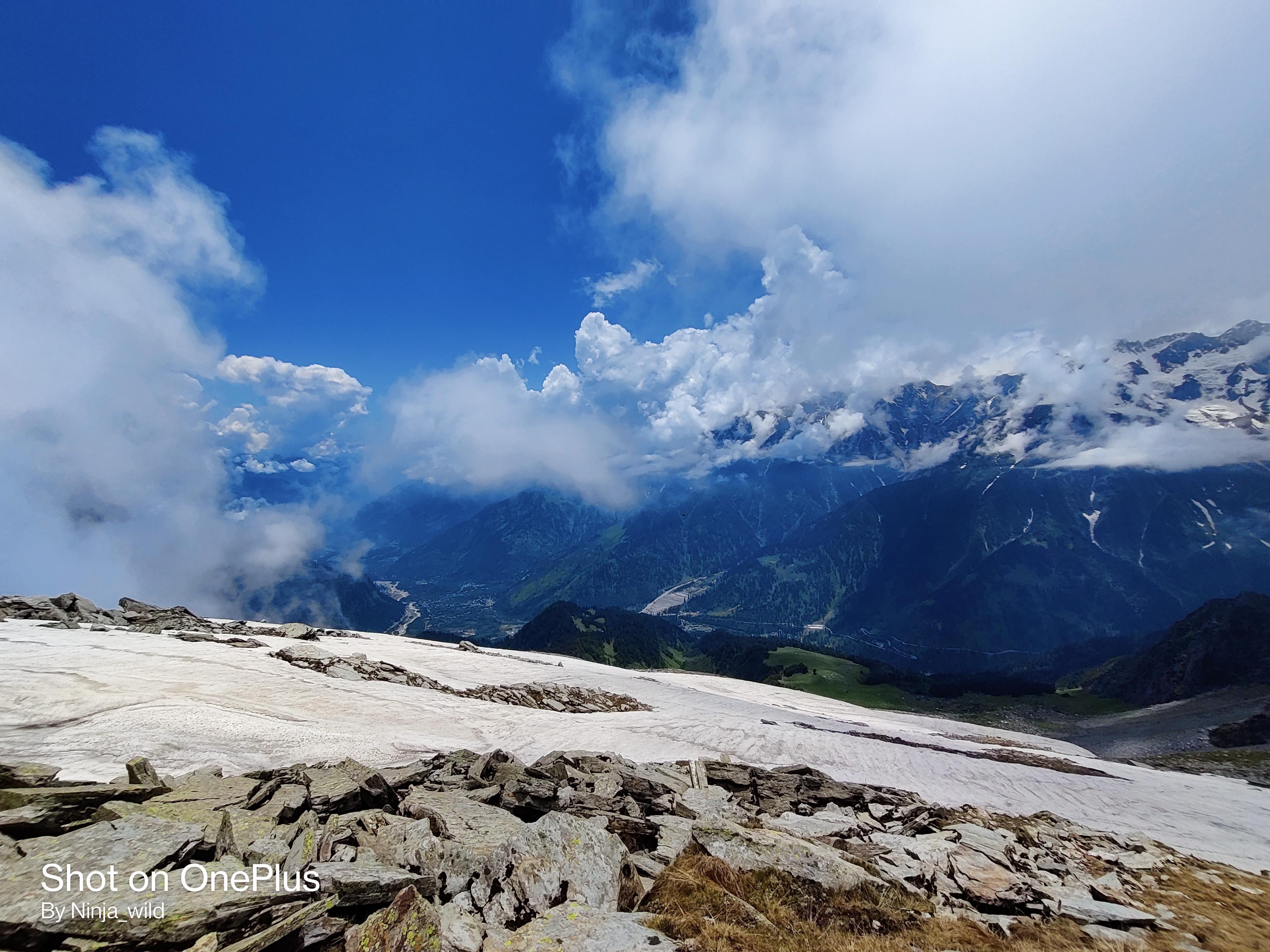
The region is also known for its Himalayan mountain scenery. Depending on the weather, visibility and precise viewpoint, trekkers may see prominent peaks of the Kumaon Himalayas, potentially including Nanda Devi, Nanda Kot and the Panchachuli range. Mountain views should not be considered guaranteed, as clouds and changing weather can restrict visibility.
The remote setting is an important part of the experience, but it also requires advance planning. Shops, mobile connectivity, medical facilities and transport options can be limited along the trail. Trekkers should arrange their accommodation, meals, transport and guiding support before arriving at the starting village.
For navigation, use a verified route map supplied by your trekking operator rather than relying on a general map pin alone. Confirm the trailhead, campsites and return route before departure.
The Ranthan Kharak Trek route generally begins at Gogina village and continues through Namik and a series of forest camps and high-altitude clearings before reaching Ranthan Top.
The opening section from Gogina towards Namik involves a combination of descent and ascent. Depending on the route, trekkers descend towards the Ramganga River before climbing through forested slopes and village landscapes. Although the distance may seem manageable, the elevation changes can make this section physically demanding.
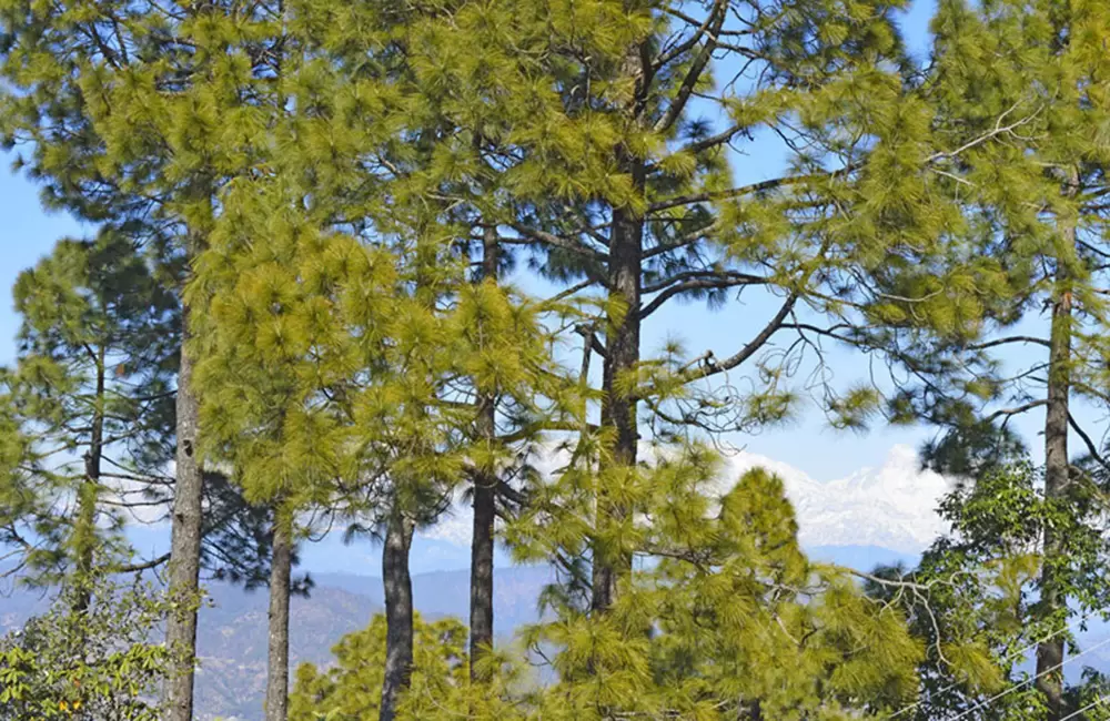
From Namik, the trail continues towards Bajimanian Kharak through woodland and open clearings. During the rhododendron flowering season, the forest can be particularly attractive. The route then progresses towards higher terrain around Thal Tok, where the landscape becomes more exposed and the walking surface may include rocky sections.
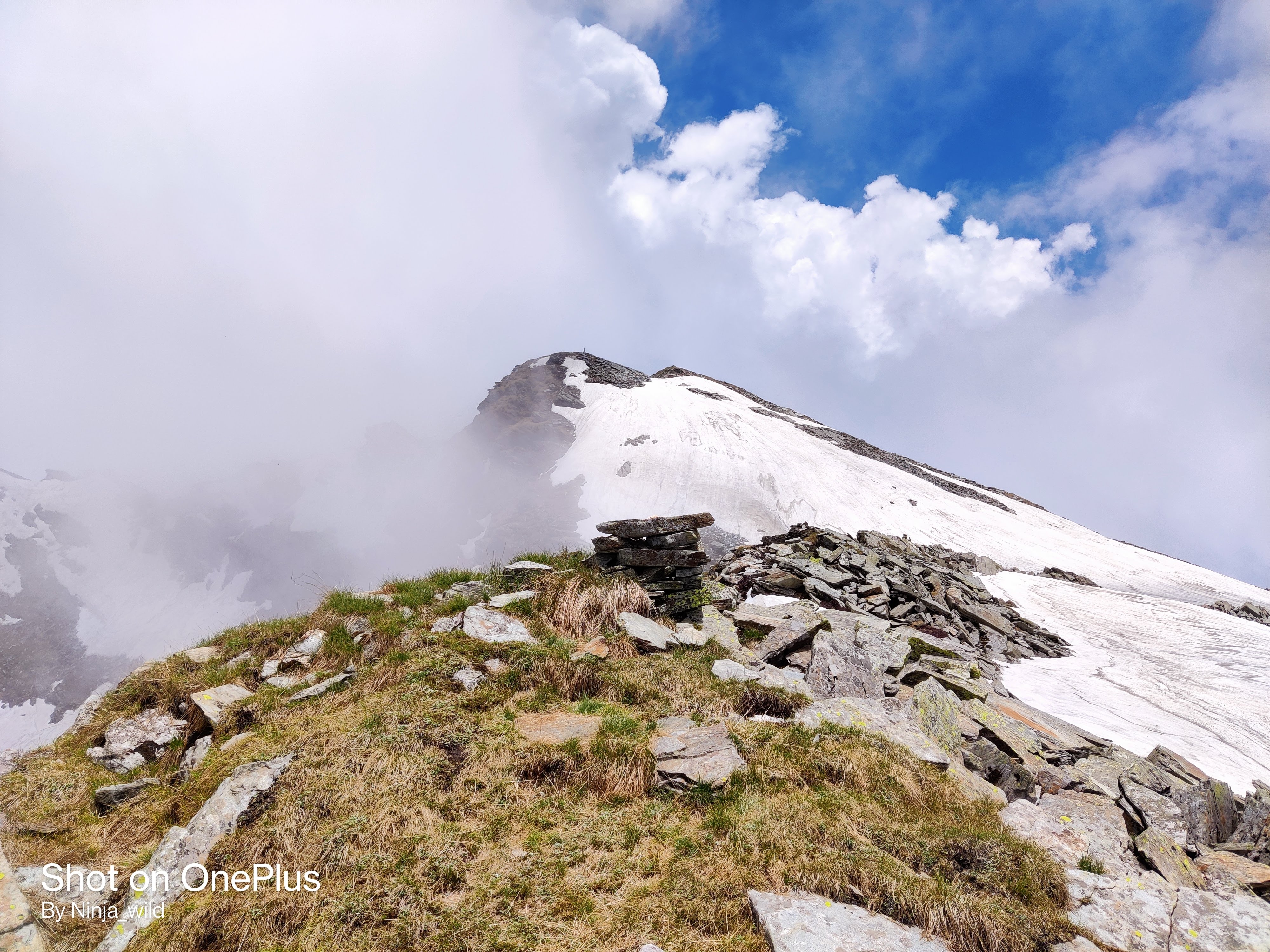
The summit section leads towards Ranthan Top and continues along the designated route towards Parava Thor, depending on the itinerary being followed. This is usually the most physically demanding part of the trek because of the early start, sustained climbing, altitude and long descent.
The return journey eventually reconnects with the lower trail towards Gogina. However, campsites, walking distances and the exact route may differ between trekking operators. Before booking, ask for a day-by-day route map and confirm the overnight locations rather than assuming every published itinerary follows the same circuit.
Weather can also change trail conditions considerably. Rain, erosion, snow and poor visibility can make navigation more difficult. Trekkers should remain with their group and follow the instructions of their guide, especially on unfamiliar or exposed sections.
A seven-day plan is a useful starting point for organising the Ranthan Kharak Trek. The following itinerary is indicative and should be adjusted to match the operator's verified route, campsite arrangements and current trail conditions.
The journey begins at Kathgodam, a common rail access point for travellers visiting the Kumaon Himalayas. From here, the road journey to Gogina may take approximately 8–11 hours, depending on traffic, road conditions, stops and the precise pickup location.
The drive passes through the Kumaon hills before reaching the remote trailhead. On arrival, settle into your accommodation, meet the trekking team and check your equipment. Use the evening to organise your backpack, confirm the following day's schedule and rest before trekking begins.
Since mountain roads can cause delays, it is sensible to avoid tight onward travel connections on the same day.
The trekking journey begins with a route that combines descent towards the Ramganga River and a climb towards Namik village. The walking distance may be approximately 6–7 km, with around five to six hours required depending on the trail, group pace and rest breaks.
This section introduces trekkers to the area's village life, cultivated slopes and forested paths. The alternating descent and ascent require steady pacing, especially for anyone carrying a backpack.
Take regular breaks, drink water and avoid rushing through the initial stages. A controlled pace helps preserve energy for the more demanding days ahead.
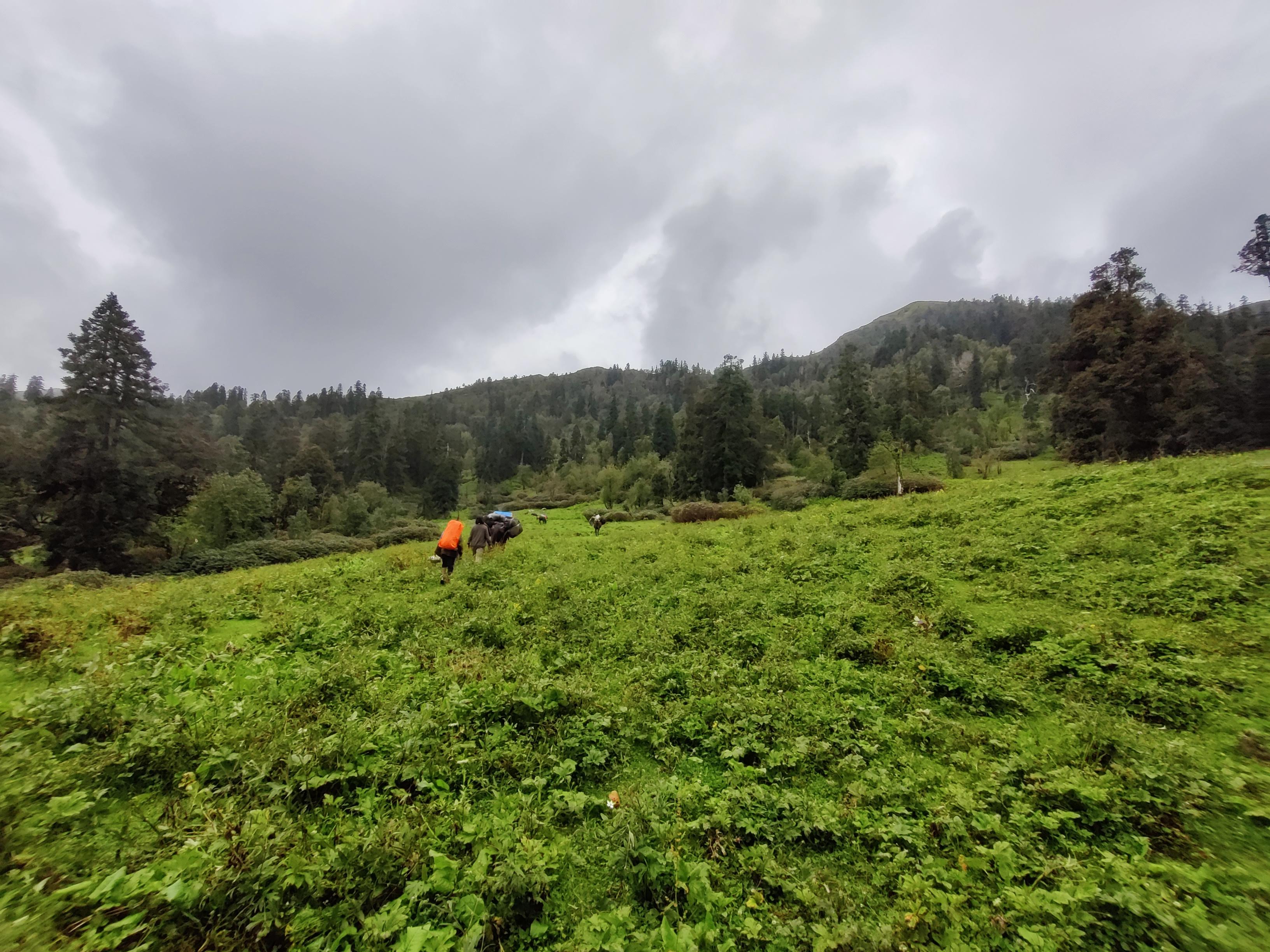
The trail continues uphill from Namik towards Bajimanian Kharak, passing through forested slopes and clearings. The walking distance may be around 5–6 km, generally requiring five to seven hours depending on conditions.
As the route gains altitude, the landscape gradually opens up. Trekkers may encounter rhododendron forests, quieter woodland sections and views across surrounding mountain slopes.
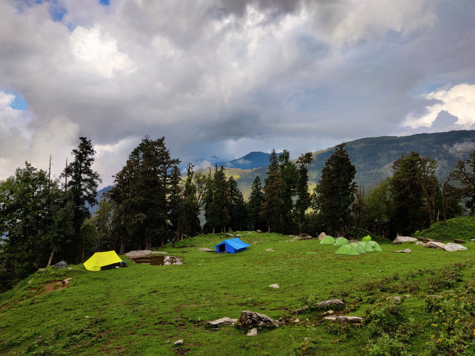
After reaching the campsite, rest, eat adequately and prepare for the following day's ascent. Temperatures can drop considerably after sunset, so warm clothing and a sleeping bag appropriate for the expected conditions are important.
This section involves further climbing towards higher mountain terrain. Depending on the selected route, the distance may be around 5 km, taking approximately six to seven hours.
The trail can become more exposed as the forest gives way to open ground and rocky stretches. Walking slowly and carefully is important, particularly if the ground is wet or visibility deteriorates.
Allow sufficient time for breaks and follow the guide's instructions about weather and campsite safety. The objective is to reach camp with enough time to rest before the demanding summit section.
This is generally the toughest day of the itinerary. An early start helps the group make progress before weather conditions change, although the departure time should be decided by the trek leader according to the season and route.
The climb towards Ranthan Top may involve sustained ascents and uneven terrain, followed by a long descent towards Parava Thor. Depending on the itinerary and conditions, the day may require approximately 10–12 hours of walking.
The summit viewpoint can offer impressive views of the surrounding Himalayan ranges in clear weather. However, reaching the highest point is only one part of the day's effort. The descent also demands concentration, balance and sufficient energy.
Trekkers should carry adequate water, food, warm layers and rain protection. If weather, visibility or a participant's health makes continuing unsafe, the guide should prioritise the group's safety rather than summit completion.
The return section may cover approximately 9–10 km and take five to seven hours, depending on the route and group pace.
The trail descends through mountain terrain towards lower elevations and the village landscape around Gogina. After several days of trekking, the descent can place considerable strain on the knees and ankles, making trekking poles useful.
Once back at Gogina, take time to recover and prepare for the return road journey. Confirm the following day's departure time and transport arrangements with the trekking team.
After breakfast, begin the road journey towards Kathgodam. Depending on road conditions and traffic, the drive may take approximately 8–11 hours.
Keep a buffer for onward trains or other connections because delays are possible on mountain roads. If you have a flight or a time-sensitive journey, consider allowing an additional night in the region rather than relying on a precise arrival time.
The best time for the Ranthan Kharak Trek generally falls in spring, early summer and the post-monsoon season. However, the actual trekking window depends on snow conditions, rainfall, road access and the route's current status.
March to April: Spring conditions
Spring can bring fresh vegetation and rhododendron blossoms at suitable elevations. The forests may be particularly appealing to nature lovers and photographers. However, snow may remain on higher sections, and cold temperatures can make the trail more demanding. Confirm that the route is open and suitable for your experience level before booking an early-season departure.
May to June: Greener landscapes
Late spring and early summer are popular planning periods for Himalayan trekking. Longer daylight hours and greener surroundings can make the journey rewarding, although the weather can still change quickly. Nights at higher camps remain cold, even when temperatures are comfortable in lower villages.
September to October: Clear mountain views
The post-monsoon period can offer crisp air, changing meadow colours and excellent visibility when conditions are favourable. This season appeals to trekkers who want to experience the mountain landscape without the persistent rainfall associated with the monsoon.
Nevertheless, heavy rain earlier in the season can damage trails and roads, and early snowfall is possible at higher elevations.
July to August: Monsoon considerations
The monsoon period is generally less suitable for this trek because of slippery paths, landslide risks and possible road disruptions. Travel should only be considered after checking current local conditions and the operator's assessment.
Winter trekking requires specialised planning, appropriate equipment and experienced leadership. Do not assume that a route available during summer will remain accessible in winter.
Kathgodam is a practical access point for many trekkers travelling to the Kumaon region. From there, the journey usually continues by road through the Bageshwar and Kapkot area towards Gogina.
From Delhi
Travellers can take a train towards Kathgodam or Haldwani, depending on available services, or travel by road. From the railway station or agreed pickup point, continue towards Gogina by pre-arranged vehicle.
The final road journey takes several hours and passes through mountain terrain. If transport is not included in your trek package, arrange a suitable vehicle in advance rather than assuming taxis or public transport will be readily available at the trailhead.
From Dehradun
You can travel by road or train towards the Kathgodam–Haldwani area, depending on the available connections and your preferred schedule. Continue towards Gogina by road after reaching the Kumaon region.
If your operator provides a pickup, confirm the reporting time, meeting location, luggage allowance and whether the transfer is included in the quoted package price.
From Almora
Almora can be used as an intermediate stop for travellers exploring Kumaon. From there, continue towards Bageshwar and Kapkot before proceeding to Gogina, subject to the route and road conditions.
A pre-arranged taxi is generally more convenient for the final stretch than relying on infrequent public transport. Allow extra time for mountain-road delays and avoid scheduling an immediate onward connection after returning from the trek.
Before departure, confirm the reporting point and transport plan with your trekking operator. The actual driving time can vary significantly with weather, traffic and road conditions.
The Ranthan Kharak Trek cost depends on the operator, group size, accommodation, meals, camping equipment and transport arrangements. An indicative planning range is ₹9,000–₹16,000 per person, but this should not be treated as a confirmed Thin Air Expedition package price.
Before comparing packages, check the services included in the total cost. A typical organised trek package may include a trek leader, local guiding support, meals during trekking days, village accommodation, camping arrangements and applicable permissions. Transport from Kathgodam may be included in some packages and excluded from others.
Personal travel to the reporting point, additional hotel nights, equipment rentals, personal snacks, travel insurance and emergency evacuation expenses may be charged separately. Applicable taxes and cancellation conditions should also be confirmed.
For example, a package with a lower advertised price may exclude road transfers or equipment, while a higher-priced package may include these services. Comparing the final amount payable is more useful than looking at the headline price alone.
Before booking, request a written cost breakdown, a detailed itinerary, confirmation of group size, information about guide qualifications and a clear explanation of emergency arrangements. This helps you understand the actual cost of the Ranthan Kharak Trek and avoid unexpected expenses.
The Ranthan Kharak Trek is generally considered moderate to challenging because of its remote setting, cumulative walking effort, elevation gain and demanding summit day. Although some daily distances may appear short, steep ascents, uneven surfaces and several consecutive days of walking can make the trek physically tiring.
Beginners should prepare by walking regularly, climbing stairs and practising longer hikes with a light backpack. Build towards four to six hours of comfortable walking and include exercises that strengthen the legs and core. Previous high-altitude trekking experience is useful, but good fitness does not eliminate the risk of altitude-related illness.
For clothing, carry moisture-wicking base layers, warm insulating layers, a waterproof jacket and trousers, trekking trousers, gloves, a warm hat and sufficient socks. Well-broken-in trekking shoes with reliable grip are essential for uneven terrain.
Other useful equipment includes a headlamp, reusable water bottles, sunglasses, sunscreen, personal medicines, basic toiletries and a small first-aid kit. A suitable sleeping bag may be necessary for camping sections, depending on what the operator supplies. Confirm equipment specifications before departure rather than assuming all camping gear is included.
Mountain weather can change rapidly. Pack for cold nights, wind and rain even if the forecast looks favourable. Keep essential items protected from moisture and carry enough food and water for the walking day according to your guide's instructions.
Acclimatisation and health awareness are equally important. Maintain a comfortable pace, drink water regularly and inform your guide if you develop a headache, nausea, unusual fatigue or breathlessness. Severe or worsening symptoms require prompt medical assessment and may necessitate descending to a lower altitude.
Choosing a trekking operator involves more than comparing prices. On a remote Himalayan route, reliable logistics, clear communication, experienced leadership and responsible outdoor practices can significantly influence the experience.
Thin Air Expedition focuses on trekking experiences and responsible exploration. When considering the company for Ranthan Kharak, trekkers should review the actual departure itinerary, guide qualifications, group size, accommodation arrangements, meal plan and safety procedures before making a booking.
Ask the team how it manages changing weather, route adjustments, participant health concerns and emergencies. Confirm whether local guides are involved, what communication arrangements are available and whether the package includes transport, camping equipment and applicable permissions.
Responsible trekking also means respecting local communities, avoiding litter, minimising waste and following designated trails. Trekkers should leave campsites clean and treat the natural landscape with care.
Before confirming your departure, review the company's published customer feedback and relevant expedition experience. Request written details of the services offered so that expectations match the actual package.
A good trekking experience is not defined only by reaching the summit. It also depends on sound preparation, responsible decisions, respect for the mountains and the quality of support throughout the journey.
How many days are required for the Ranthan Kharak Trek?
A seven-day itinerary is a useful planning framework, including road travel from Kathgodam, trekking days, the summit section and the return journey. The actual duration depends on the operator's route.
What is the total Ranthan Kharak Trek distance?
The trekking distance is often estimated at approximately 35–40 km, although the exact total varies according to campsites and route selection. Confirm the distance with your operator before departure.
What is the highest altitude of Ranthan Kharak Trek?
Ranthan Top is reported at approximately 12,900–13,300 feet in different trekking descriptions. Confirm the precise elevation and route details with the operator running your departure.
Is Ranthan Kharak Trek suitable for beginners?
Fit beginners may be able to complete the trek with proper preparation and experienced guidance. However, the long summit day, elevation changes and remote terrain make it more demanding than a short introductory hike.
What is the best time to visit Ranthan Kharak?
Spring, early summer and the post-monsoon season are generally preferred. March to June and September to October are useful planning windows, subject to weather, trail access and local conditions.
How much does Ranthan Kharak Trek cost?
An indicative package range is ₹9,000–₹16,000 per person. The final cost depends on inclusions such as transport, meals, accommodation, equipment and guiding services.
Is a guide necessary for Ranthan Kharak Trek?
An experienced local guide or organised trekking team is strongly advisable because the route is remote, navigation can be challenging and facilities are limited.
What should I pack for the trek?
Carry appropriate trekking shoes, layered clothing, waterproof protection, gloves, a warm hat, a headlamp, personal medicines, sunscreen and other essentials. Confirm the sleeping bag and camping equipment requirements with your operator.
The Ranthan Kharak Trek offers a rewarding opportunity to explore the quieter side of the Kumaon Himalayas. From forest trails and traditional villages to open mountain clearings and panoramic Himalayan scenery, the journey combines natural beauty with the challenge of a multi-day trek.
If you are looking for an outdoor experience built around preparation, responsible exploration and meaningful time in the mountains, consider planning your journey with Thin Air Expedition. Review the itinerary, clarify the package inclusions and discuss your fitness level with the team before confirming your departure.
With suitable preparation, realistic expectations and responsible trekking practices, Ranthan Kharak can become a memorable Himalayan adventure—one that takes you beyond the usual tourist routes and closer to the natural character of the mountains.