Pangarchulla Peak Trek The Complete Guide
Pangarchulla Peak Trek The Complete Guide
12
Aug

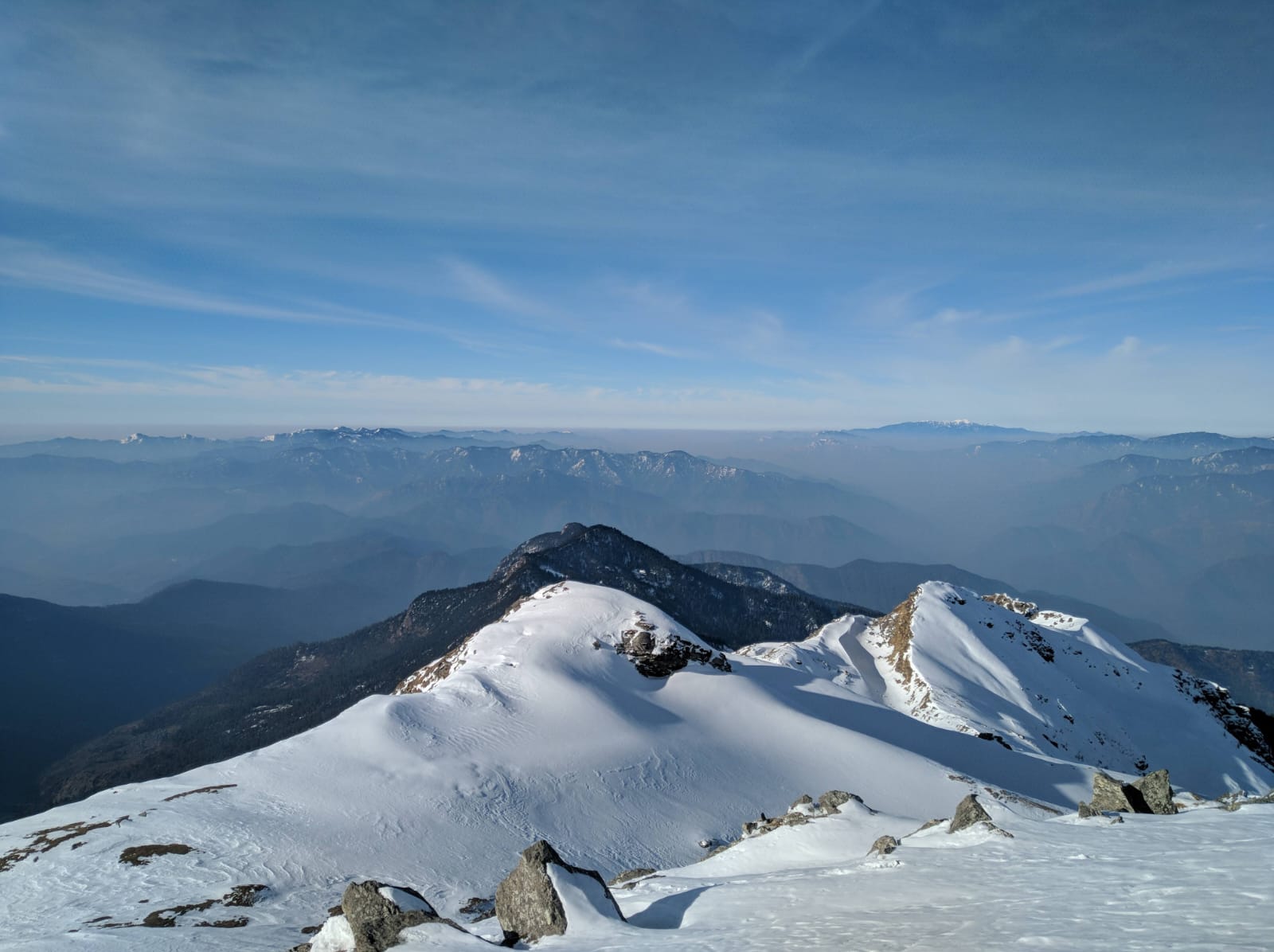
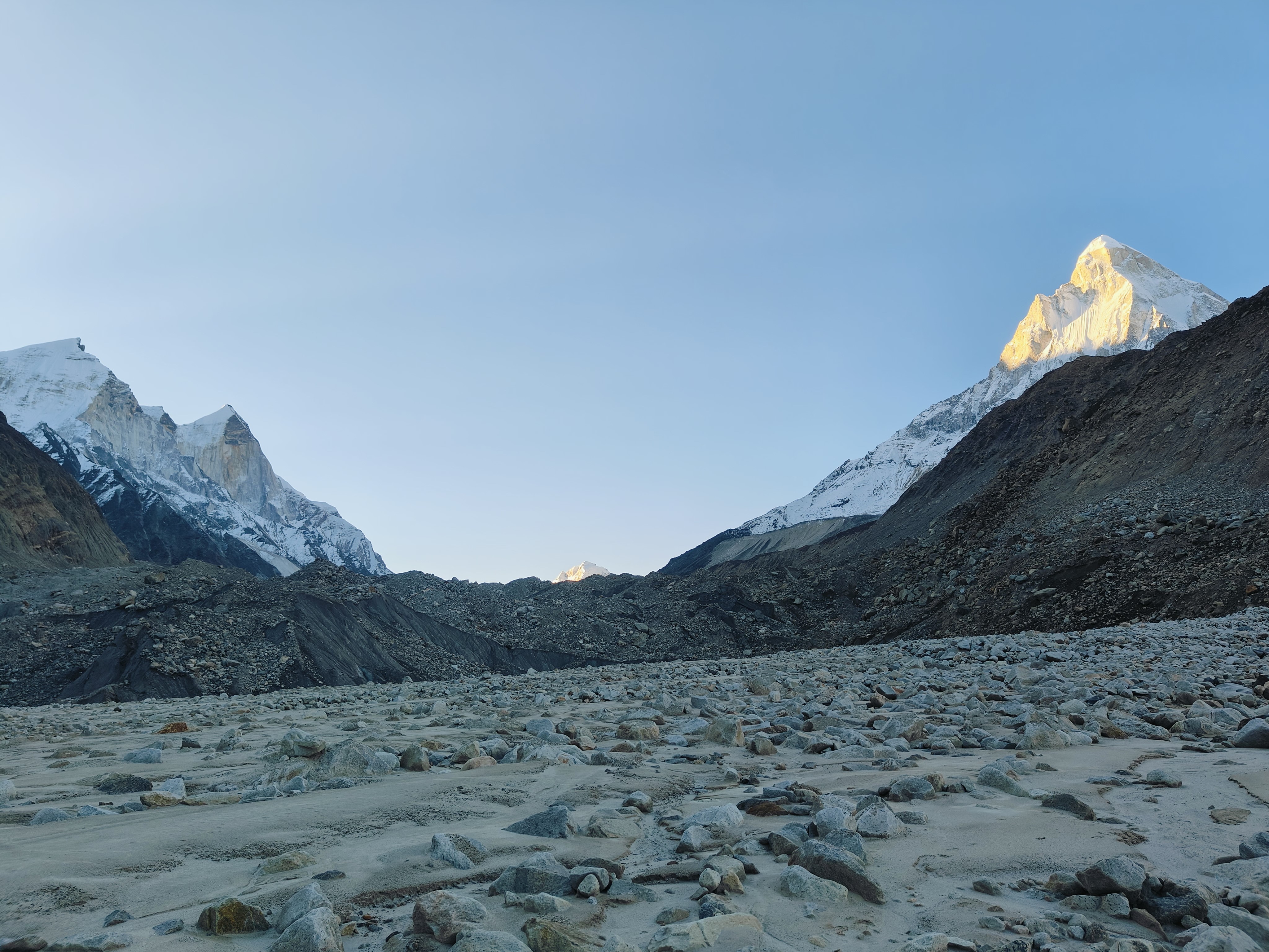
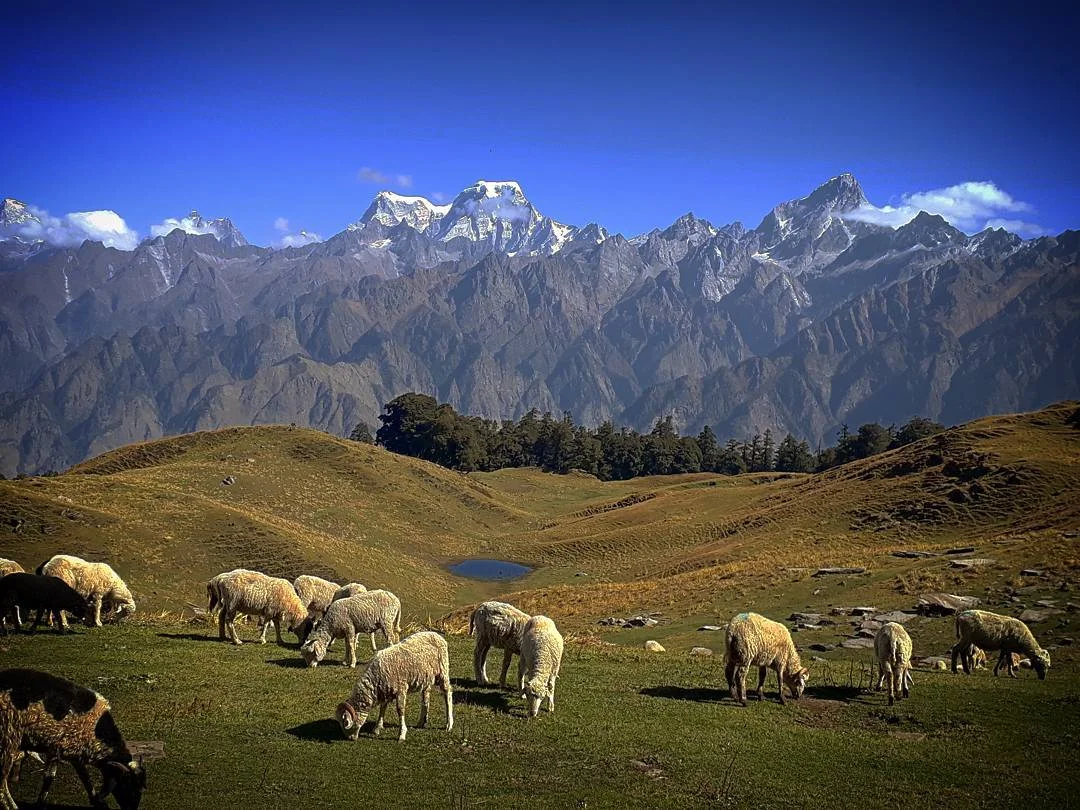
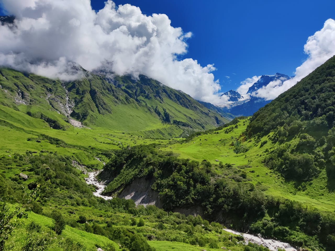
Pangarchulla Peak, sometimes called "Chimney Peak," is one of the most exhilarating high-altitude summit treks in the Garhwal Himalayas of Uttarakhand. Located in the Chamoli district near Joshimath, close to the famous Kuari Pass trail, Pangarchulla is often described as the trek that bridges the gap between beginner meadow walks and full-blown mountaineering expeditions. It combines dense forests, alpine meadows, snow ridges, and a genuinely demanding summit push that rewards trekkers with a 360-degree view of Himalayan giants like Nanda Devi, Chaukhamba, Kamet, Dronagiri, and Hathi-Ghoda Parvat.
Pangarchulla lies within the Nanda Devi Biosphere region, part of a landscape steeped in mountaineering and pilgrimage history. The wider area — Joshimath, Auli, and the Kuari Pass trail — has long been significant both spiritually and historically. Joshimath itself is one of the four cardinal seats (Char Dham) established by the philosopher-saint Adi Shankaracharya, and the region has served as a gateway to Badrinath and the Valley of Flowers for centuries.
The neighboring Kuari Pass trail, which Pangarchulla is frequently combined with, gained international fame after Lord Curzon, the British Viceroy of India, trekked through the route in the early 1900s, lending it the nickname "Curzon Trail." Pangarchulla Peak itself became popular with trekkers and mountaineering clubs later, as an add-on summit for those doing the Kuari Pass circuit who wanted a proper high-altitude climbing challenge without needing technical mountaineering equipment. Over the last two decades, it has grown into a well-established, commercially guided trek, popular with intermediate and experienced trekkers looking to test themselves on steep snow and boulder terrain before attempting bigger Himalayan expeditions.
Total trekking distance figures vary by operator and exact trailhead (Joshimath, Dhak, Auli, or Tugasi/Karchi village), but general figures are:
This is significantly longer and more demanding than beginner treks like Dayara Bugyal, reflecting Pangarchulla's higher difficulty rating.
The altitude gain from base to summit is roughly 8,900 ft, achieved over several days — one of the steeper cumulative climbs among commercially guided Indian treks, which is why acclimatization days are built into most itineraries.
Pangarchulla has a narrower trekking window than most Himalayan treks, largely because of its summit altitude and exposure to snow and ice:
If you have to choose one window, late March to May offers the best balance of a snow-covered, scenic trail with manageable safety conditions.
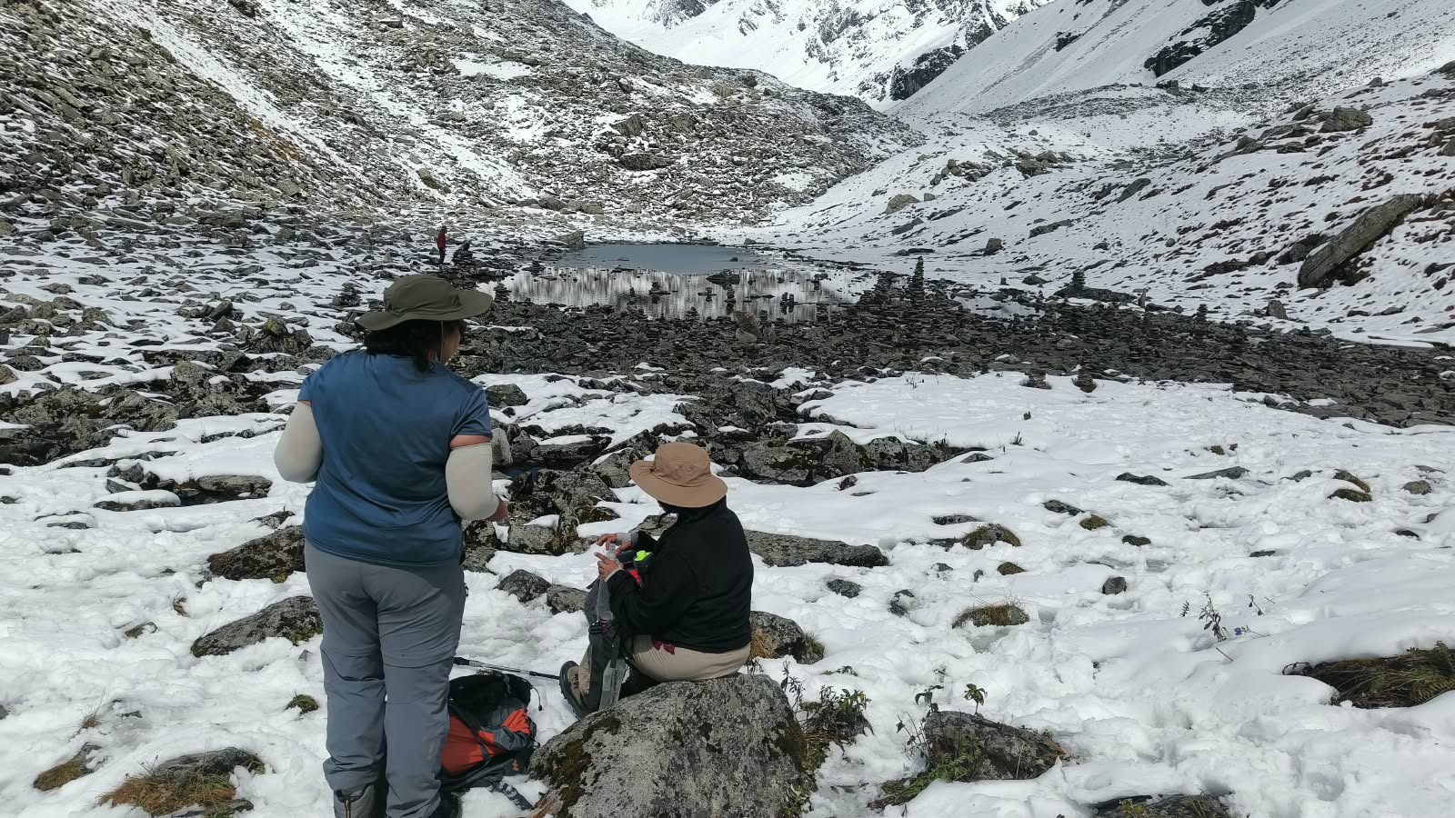
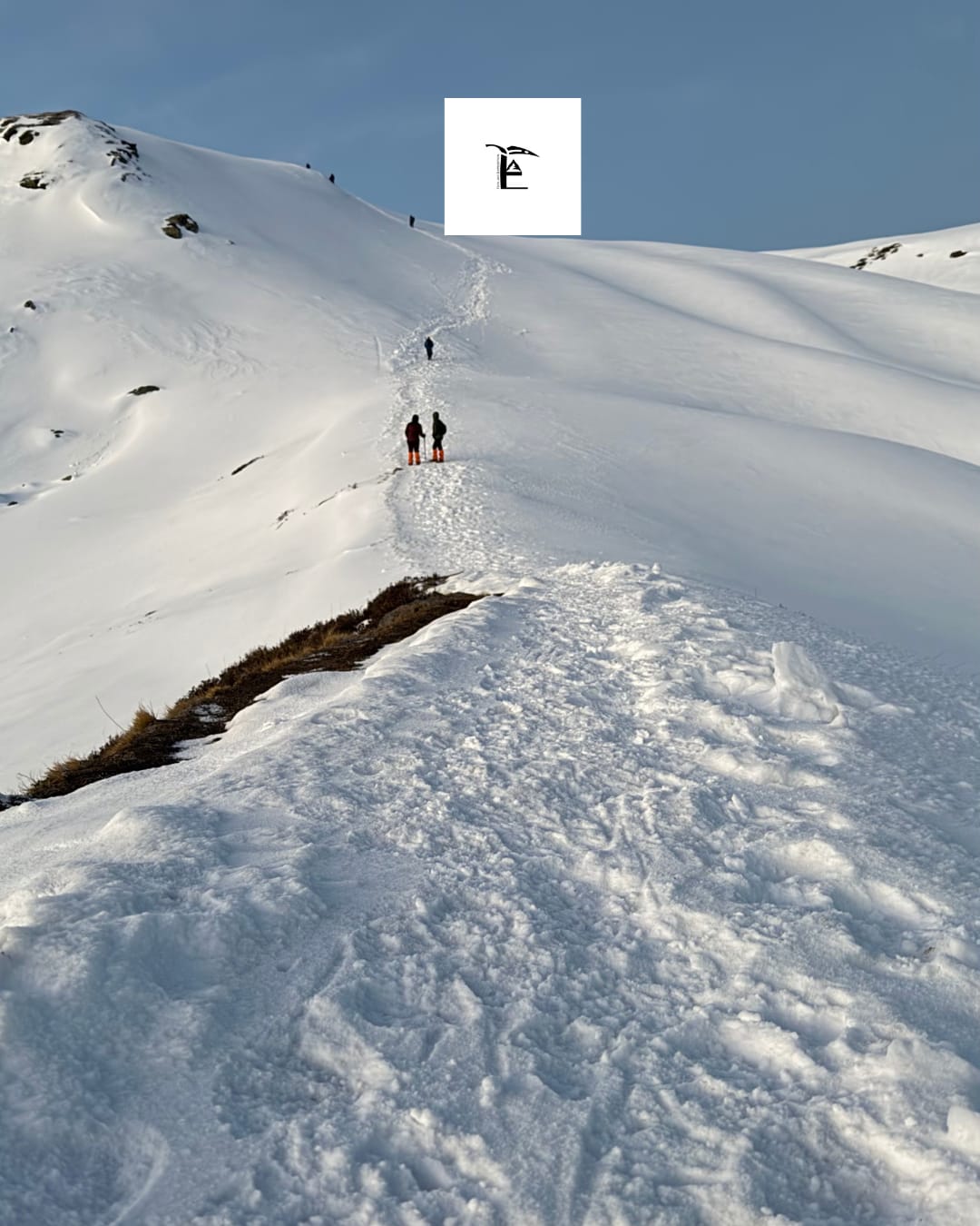
Winter on Pangarchulla is dramatic but genuinely challenging, and most established trek operators either don't run summit attempts during peak winter (December–February) or heavily caveat them.
Key points about the winter trek:
In short: Pangarchulla is not a typical "beginner winter trek" like Kedarkantha or Dayara Bugyal — attempting the summit in peak winter is for well-prepared, experienced trekkers only, and even then, many operators recommend waiting until conditions stabilize post-March.
| Season | Daytime Temperature | Night Temperature |
|---|---|---|
| March–April | -2°C to 17°C | -10°C to -5°C |
| May–June | 10°C to 20°C (can drop to 0°C at higher camps) | -2°C to 5°C |
| October–December | 5°C to 15°C | -5°C or lower at higher elevations |
| Peak Winter (Jan–Feb) | -10°C to 15°C | Below -10°C on exposed ridges |
Temperatures swing sharply with altitude and time of day — a sunny afternoon at Khullara can feel mild, while the same spot after sunset can plunge well below freezing. Layered clothing is non-negotiable on this trek regardless of the season chosen.
A typical 6 Days / 5 Nights itinerary (Joshimath to Joshimath, sometimes extended with travel days from Rishikesh/Haridwar/Dehradun) looks like this:
Day 1: Arrival at Joshimath Drive from Rishikesh/Dehradun/Haridwar (approximately 250–295 km, 8–10 hours) to Joshimath (6,150 ft). Rest, gear check, and briefing. Overnight in a guesthouse.
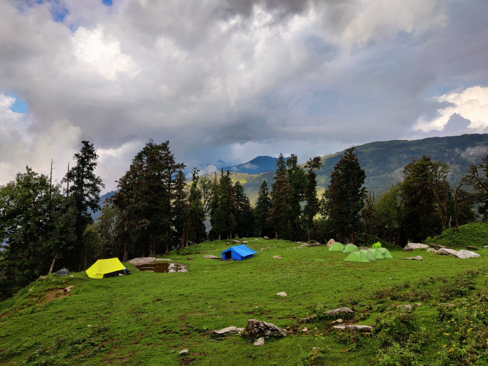
Day 2: Joshimath to Dhak, then trek to Khullara (or via Auli) Depending on the operator's route, drive from Joshimath to Dhak or Tugasi village, then begin trekking through forests of oak, birch, and rhododendron toward the first campsite — commonly Khullara or Gulling — at around 9,000–11,000 ft. Distance covered: roughly 8–11 km.
Day 3: Khullara/Gulling — Acclimatization or short trek A short trek or acclimatization day around the campsite, exploring nearby ridgelines and viewpoints to help the body adjust to altitude before the summit push. Some itineraries include a walk toward Khullara Top for early peak views.
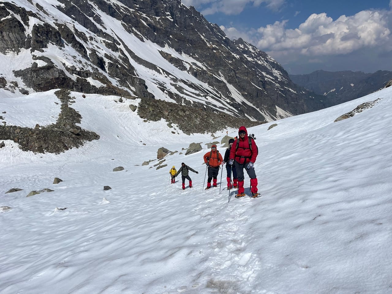
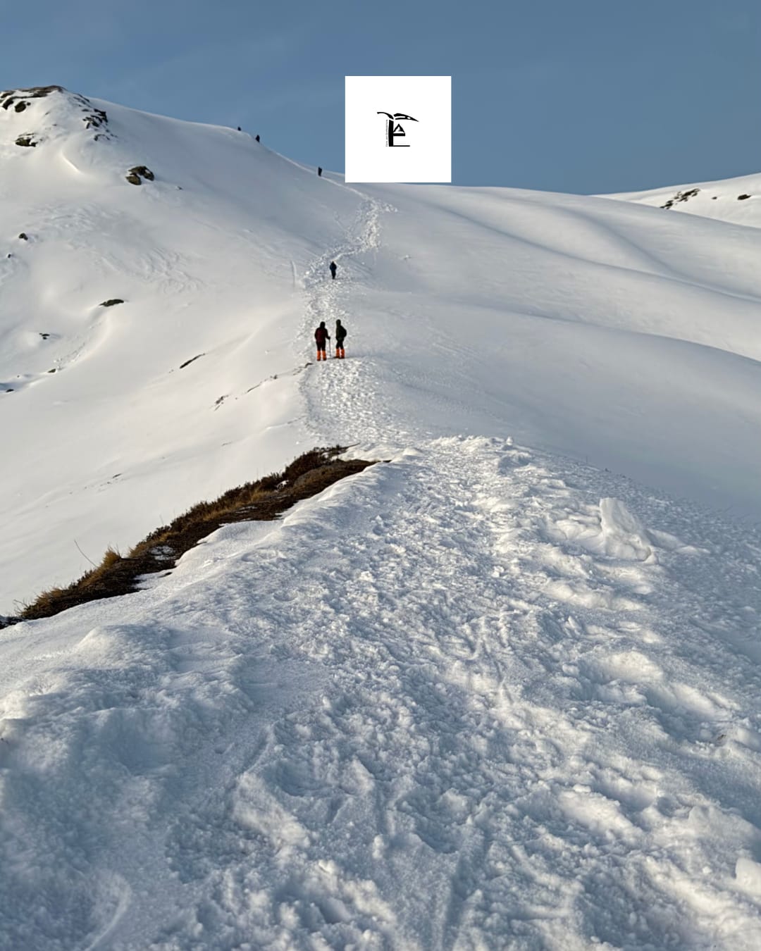
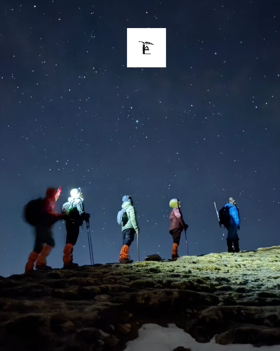
Day 4: Summit Day — Khullara to Pangarchulla Peak and back The toughest and longest day of the trek. Starting well before dawn, trekkers ascend a steep, snow-and-boulder ridge to the summit (15,069 ft), taking in panoramic views of Nanda Devi, Dronagiri, Chaukhamba, and Hathi-Ghoda Parvat. The round trip typically takes 8–12 hours, covering approximately 10–12 km, before returning to Khullara or descending further to a lower camp.
Day 5: Descent to Dhak/Tugasi, drive to Joshimath Descend through the forested trail back to the roadhead, then drive back to Joshimath for a final overnight stay — a welcome hot shower and comfortable bed after summit day.
Day 6: Joshimath to Rishikesh/Dehradun/Haridwar Drive back (8–10 hours), passing through Karnaprayag, Rudraprayag, and Devprayag, ending the trip.
Variants:
Package costs vary based on route, group size, season, and inclusions. Approximate 2025–26 market rates:
What's usually included:
What's usually extra:
Because Pangarchulla is a higher-risk trek than beginner meadow treks, it's worth confirming the trek leader's certification (Wilderness First Responder or equivalent), the operator's emergency evacuation protocol, and whether crampons/microspikes are provided or need to be rented separately.
1. Is Pangarchulla Peak Trek suitable for beginners?
No. It's rated moderate to difficult, involving steep ridgelines, snow and boulder sections, and a demanding summit day. Prior trekking experience — ideally at least one high-altitude trek — is strongly recommended.
2. What is the height of Pangarchulla Peak?
The summit stands at approximately 15,069 ft (4,594 m), though some sources list slightly different figures (15,000–15,419 ft) depending on the exact measurement point.
3. How many days does the Pangarchulla Peak Trek take?
Most itineraries run 6 days/5 nights from Joshimath to Joshimath, or 7–8 days when including travel from Rishikesh, Dehradun, or Haridwar.
4. What is the total trekking distance?
Approximately 34–38 km round trip on foot, with some extended circuit versions (including Kuari Pass) covering 45–52 km.
5. Can Pangarchulla Peak Trek be done in winter?
It's possible but genuinely challenging. Deep winter (December–February) brings unstable, boulder-hiding snow and extreme cold, and many operators discourage summit attempts during this window without serious mountaineering preparation. Late winter into spring (March onward) is considered safer.
6. What is the best time for the Pangarchulla Peak Trek?
Mid-March to May is generally considered the best window, offering a stable snow-covered trail and clear skies. September to mid-October is a secondary option with a more rocky, less snowy trail.
7. Where does the Pangarchulla Peak Trek start?
Most itineraries start from Joshimath, with trekking beginning at Dhak, Tugasi, or Auli depending on the operator's chosen route.
8. How difficult is the Pangarchulla Peak Trek?
It's rated moderate to difficult. The summit day involves a steep, technical-feeling ridge climb over snow and boulders, typically taking 8–12 hours round trip — considerably harder than beginner treks.
9. What is the temperature like on the trek?
Daytime temperatures range from about -2°C to 20°C depending on the season, while nighttime temperatures at higher camps can drop from -2°C down to -10°C or lower.
10. How much does a Pangarchulla Peak Trek package cost?
Packages typically range from ₹21,000+ per person depending on inclusions, group size, and route.
11. Do I need permits for the Pangarchulla Peak Trek?
Yes. Since the trek passes through a protected area near the Nanda Devi Sanctuary, forest and trekking permits are mandatory and are usually arranged by your trek operator as part of the package.
12. Do I need prior trekking experience?
Yes, it's recommended. While not a technical mountaineering climb, the summit day's steep snow and boulder sections make prior high-altitude trekking experience important for safety and enjoyment.
13. What peaks can be seen from the Pangarchulla summit?
On a clear day, you can see Nanda Devi, Chaukhamba, Kamet, Dronagiri, Hathi Parvat, Ghoda Parvat, and Neelkanth, among other Garhwal Himalayan giants.
14. Is altitude sickness a concern on this trek?
Yes, given the summit altitude of over 15,000 ft, acute mountain sickness (AMS) is a genuine risk. Built-in acclimatization days, gradual ascent, and staying hydrated are important precautions.
15. What should I pack for the Pangarchulla Peak Trek?
Sturdy, ankle-supporting trekking shoes with good grip, layered thermal clothing, a waterproof/windproof outer shell, gloves, a warm cap, sunglasses (UV protection is important at altitude), sunscreen, gaiters, trekking poles, and a headlamp. Winter or early-spring attempts may also require crampons/microspikes.
16. Is there mobile network connectivity on the trek?
Network is available in Joshimath and generally reasonable up to the first campsite, but becomes patchy or unavailable beyond that — though some trekkers report catching a signal near the summit itself.
17. Can this trek be combined with Kuari Pass?
Yes, many operators offer an extended itinerary combining the Kuari Pass trail (the historic "Curzon Trail") with a Pangarchulla Peak summit attempt, typically adding 1–2 extra days to the standard itinerary.
18. What is the ideal group size for this trek?
Most operators run groups of roughly 5–10 trekkers accompanied by a certified trek leader and support staff, though smaller private/premium groups are also available at a higher cost.