The Iconic Mountain Passes in India A guide to 9 legendary himalayan treks
The Iconic Mountain Passes in India A guide to 9 legendary himalayan treks
07
Jul

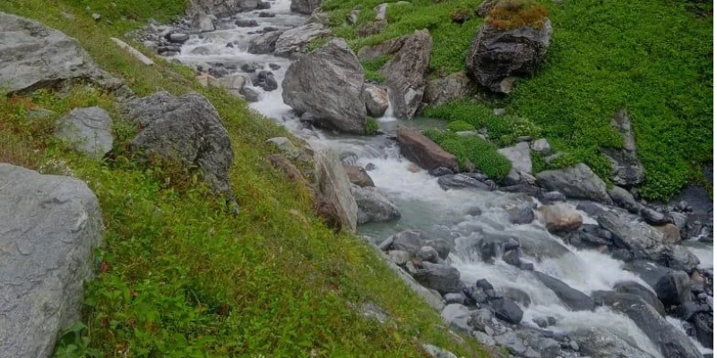
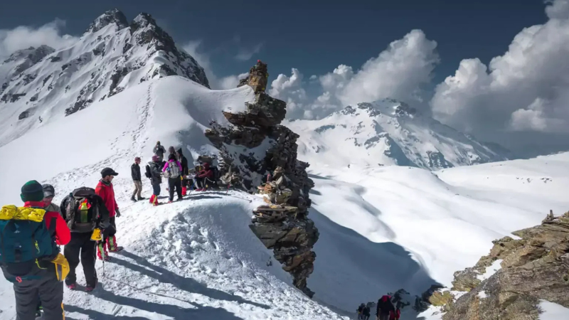
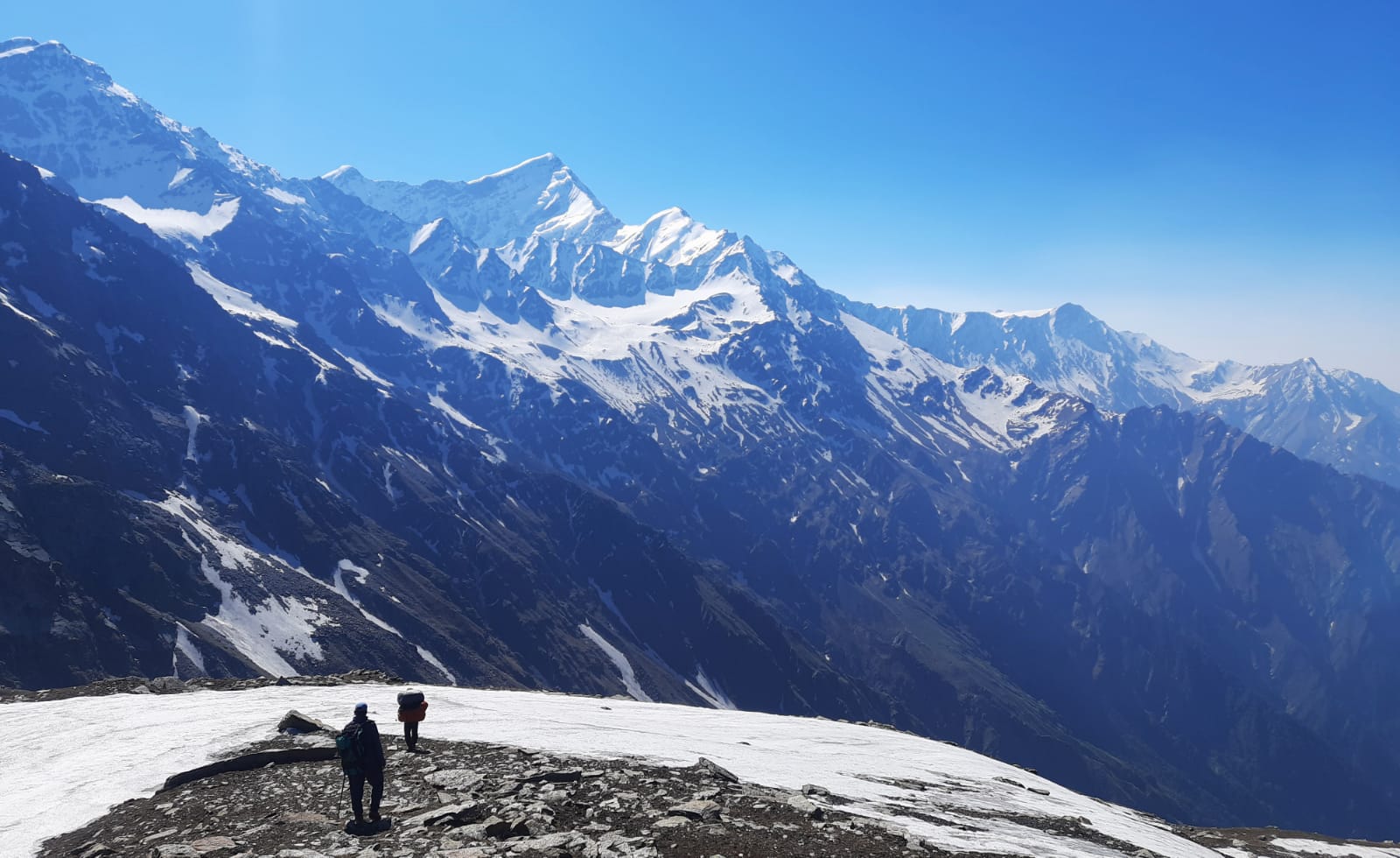
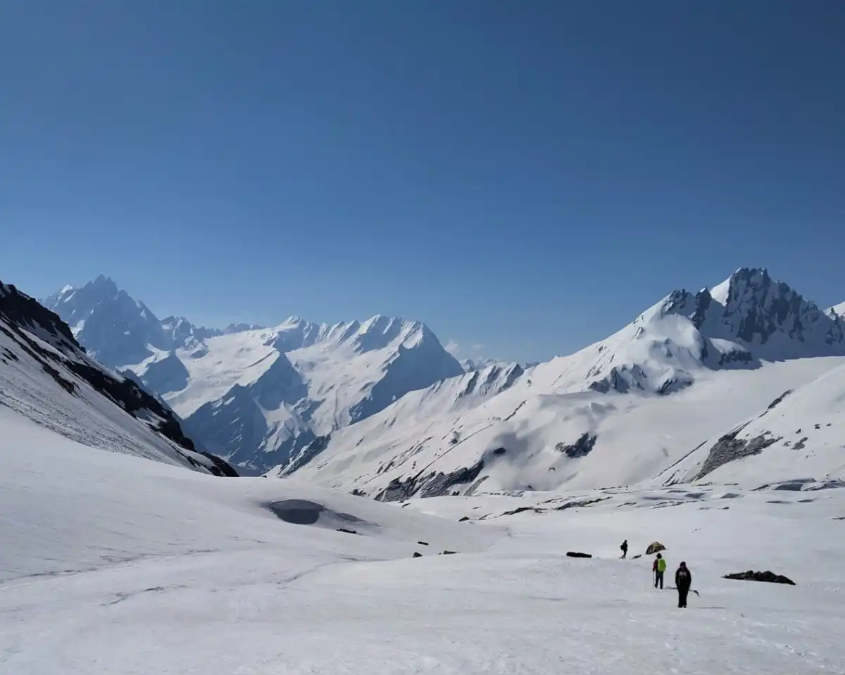
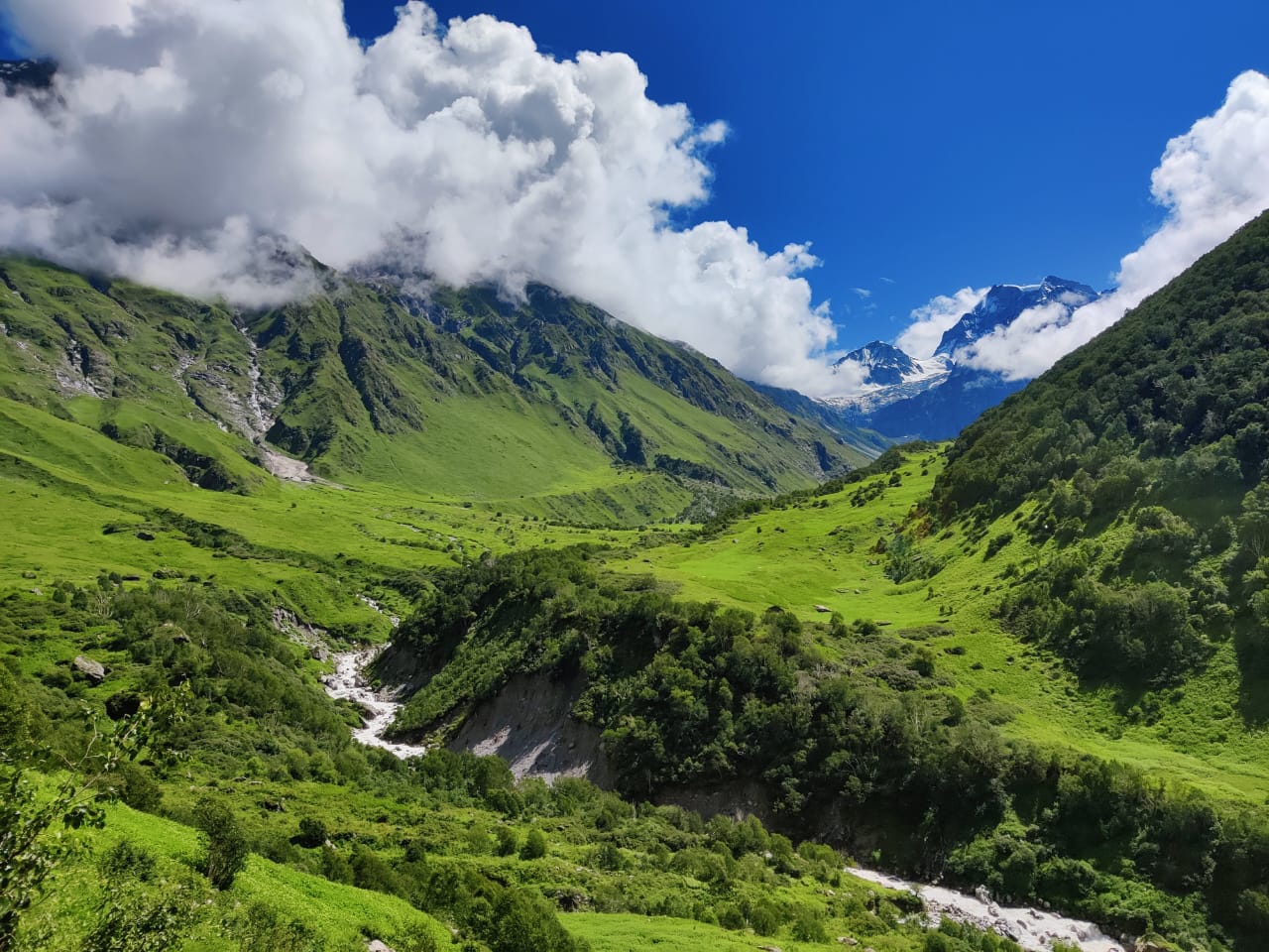
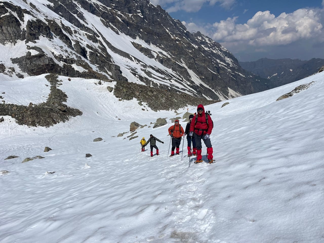
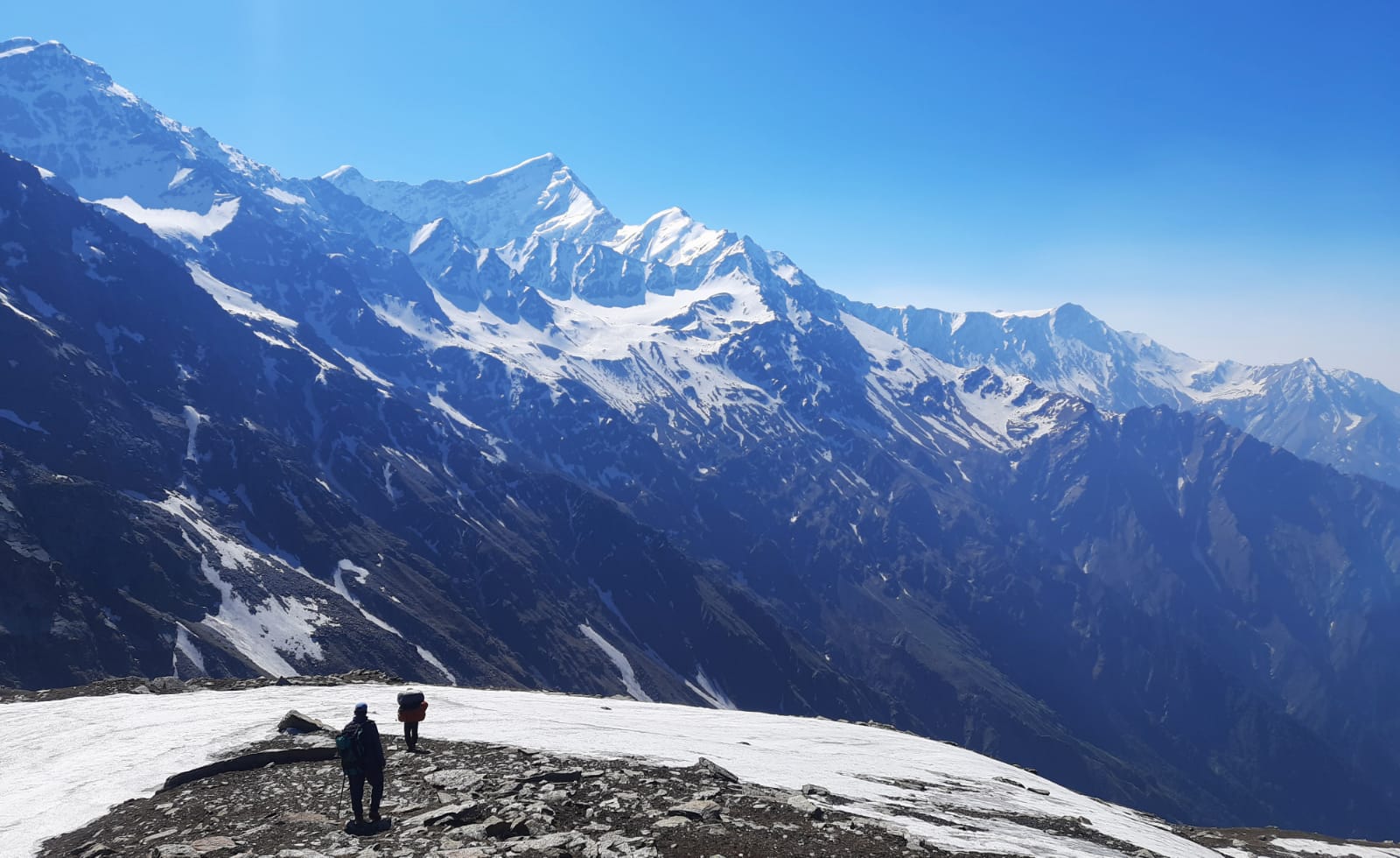
Passes in mountains, locally known as a La, Ghat, or Gali, are the natural breaks between those high ranges of mountains. The high ranges have been used since ages by locals as natural routes to connect various remote kingdoms, nomads, and valleys in Northern India. In modern times, mountain passes are the ultimate destination for all mountain lovers. Going across a pass in the Himalayas is like traveling across time and experiencing totally different worlds at each side of the break. On one trek from such passes, you could start off from a tropical green forest having waterfalls to move on to a frozen glacier and end up in an absolutely barren, Mars-like mountain desert.
Starting from easy treks of Kuari Pass to tough treks on high altitude glaciers in Parang La, here is the list of nine such most spectacular mountain passes in India.
Before getting to the individual itineraries and descriptions, this comparison matrix showcases where these nine great passes fare with regard to their highest altitude, best time, and recommended period for trekking through them.
|
Trek Name |
Region |
Max. Altitude |
Duration |
Best Time |
Difficulty Grade |
|
Badasu Pass Trek |
Uttarakhand - Himachal Pradesh |
17,585 ft. |
8 Days |
May - June & September - October |
Moderate - Difficult |
|
Bali Pass Trek |
Uttarakhand |
16,240 ft. |
9 Days |
May - June & September - October |
Moderate - Difficult |
|
Rupin Pass Trek |
Uttarakhand - Himachal Pradesh |
15,250 ft. |
7 Days |
May - June |
Moderate - Difficult |
|
Pin Parvati Pass Trek |
Himachal Pradesh |
17,500 ft. |
10 Days |
July - September |
Difficult |
|
Kuari Pass Trek |
Uttarakhand |
12,516 ft. |
6 Days |
November - February |
Easy |
|
Hampta Pass Trek |
Himachal Pradesh |
14,010 ft. |
5 Days |
June - September |
Moderate |
|
Chandrakhani Pass Trek |
Himachal Pradesh |
3,660 m |
5 Days |
May - September |
Easy - Moderate |
|
Parang La Pass Trek |
Himachal Pradesh |
5,580 m |
14 Days |
July - September |
Moderate - Difficult |
|
Pin Bhaba Pass Trek |
Himachal Pradesh |
16,005 ft. |
7 Days |
July - September |
Easy - Moderate |
Geography & History: The Kuari Pass trek is not just famous for being one of the great mountaineering trails in India, but also bears the name Curzon Trail. This was due to the fact that Lord Curzon, who happened to be the Viceroy of India, successfully trekked Kuari Pass back in 1905. Kuari Pass is situated in the state of Uttarakhand, in the Garhwal area of India and acts as an excellent viewpoint, rather than being hard trekking terrain.
Highlights along Route & Trail: The trail for Kuari Pass trekking can start both from Joshimath and from Dhak, which is a village. When travelers are moving through thick and primitive oak and rhododendron forests, they get a chance to witness beautiful blooming red and pink Buransh flowers (rhododendrons) in the season of spring (April–May). Crossing the tree line, one gets to the top altitude meadows where the scenery turns out to be breathtaking. The Kuari Pass peak at 12,516 ft provides the best view of the Indian peaks. The following sights are available from this location: Nanda Devi: Second highest peak in India with height 25,643 feet. Dronagiri & Kamet, Chaukhamba, Changabang, and Hathi-Ghoda Parvat
Exclusive: The other high altitude treks involve a lot of strenuous efforts and climbs; but this trek is quite easy.
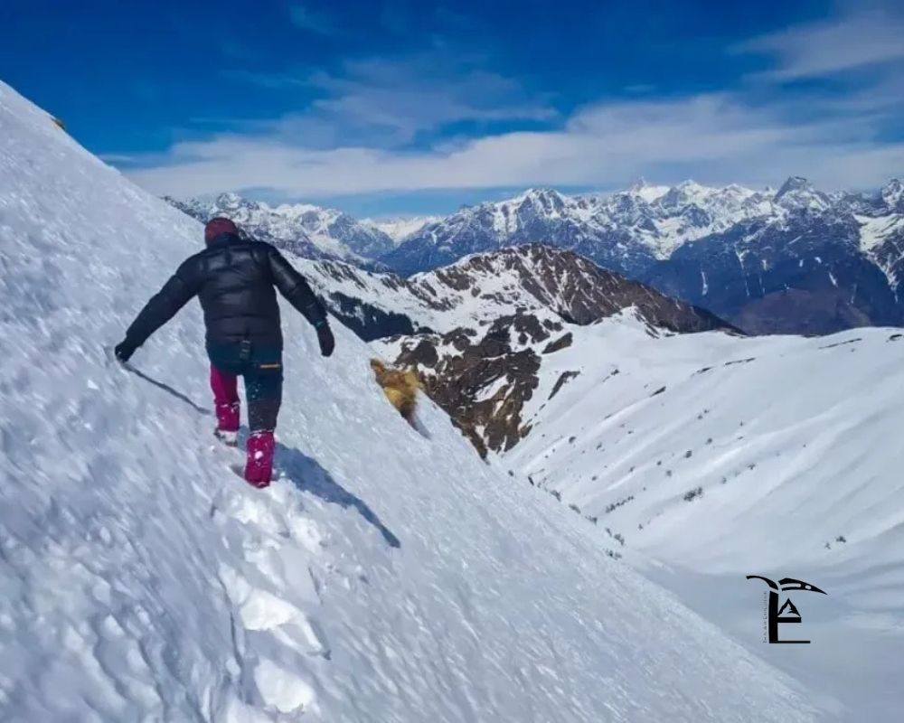
Geography & Tradition: Nestled within the Kullu Valley of Himachal Pradesh, the Chandrakhani Pass trek is deeply embedded within the mythology of the area. The pass acts as a physical link between the picturesque Naggar village and the remote Malana village of legend. As per the mythological tale, the god Jamlu released all the minor gods of the Kullu valley from his basket at this pass, allowing the winds to take them to their respective mountain abodes.
Route & Features Highlights: As you begin your trek from Naggar, you traverse through the deodar, pine, and chestnut groves. The entire path is rustic and raw, opening up to alpine meadows at Rumsu and Steling. Up to the pass point 12,010 ft, the hike involves an easy gradient without any technical difficulty. While standing on the ridge of Chandrakhani, you get a direct view of the white faces of the Pir Panjal and Bara Bhangal ranges, with special focus on Deo Tibba and Hanuman Tibba. Once done with the pass climb, you descend right into Malana – one of the oldest surviving democracy villages of the world.
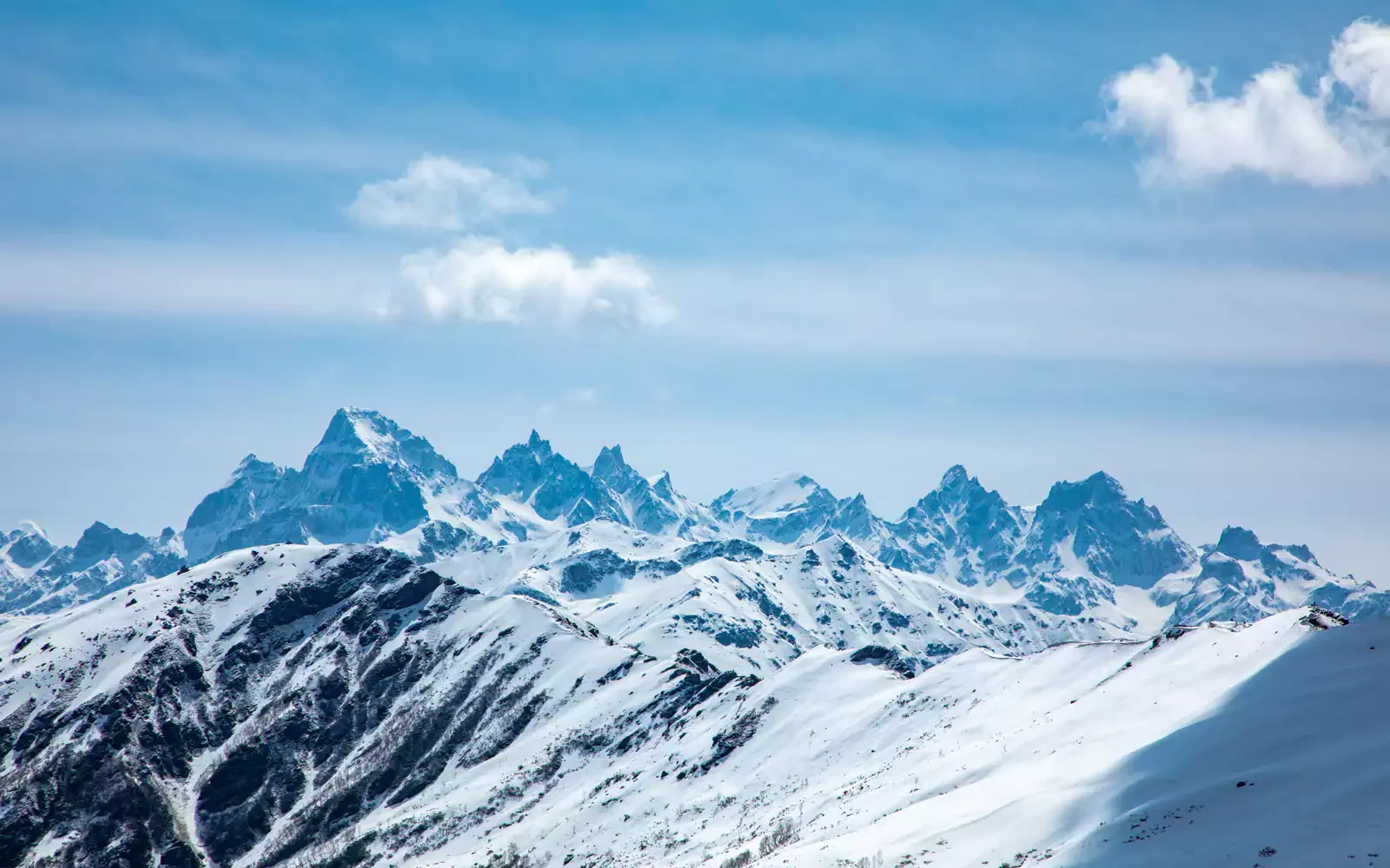
Geography & History: For the most drastic change in ecology that the Himalayas have to offer within a week’s time frame, there is no better way than the Hampta Pass. This pass is situated in Himachal Pradesh and it passes through the huge ridgeline which separates the green valleys of Kullu and Manali, receiving heavy rainfall, from the desert regions of Lahaul and Spiti valleys, which are in the rain shadow region.
Trail details: The trail begins near Jobra, which is a place situated quite close to Manali. In just a few hours you will be already climbing in the riverbed of Rani Nallah stream after crossing the meadows where the horses belonging to the regions of Chika and Balu Ka Ghera live.
-A vibrant climb: Balu Ka Ghera: Walking among the alpine meadows with flowers and streams emerging from the glaciers. All around is lush, green and alive.
-Glacial Moraine: Pass Crossing (14, 010 ft). Climbing up the mountain on loose moraines, boulders, and temporary snow beds leading to the narrow opening of Hampta Pass.
-The Steep Descent: Shea Goru. Descend through an extremely steep, loose shale trail downhill from the pass into a freezing, windy valley bottom.
-The Desert Finish: Chhatru & Chandratal Reach Chhatru, where the scenery becomes totally different, and now you see the desolate terrain of the barren, crumbling, and sun-scorched rocks of the Lahaul valley. Your trek will end with a journey by vehicle from Chhatru to Chandratal, The Moon Lake which is a beautiful blue lake situated at 14,100 ft.
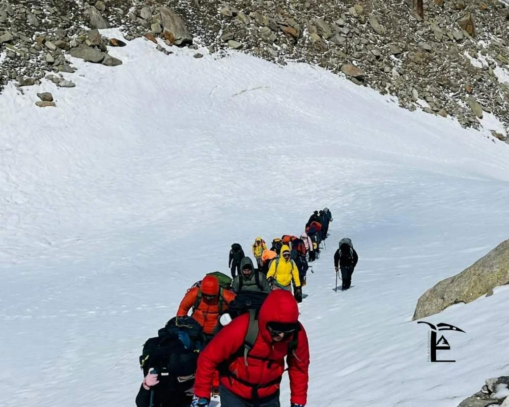
Geography & History: Unlike the trekking route of Hampta Pass, this one is even more difficult than the other in terms of everything. The trekking route of Pin Bhaba Pass joins the verdant and lush green forest zone of the Bhaba Valley in Kinnaur with the tough mountainous region of the Pin Valley in Spiti.
Route and Trail Highlights: Beginning your journey from Kafnu in Kinnaur, initially, the trail takes you through an enchanting land of vast stretches of silver firs, pines, and oaks until you reach the Kara Meadows, which is an expansive stretch covered with lush green grass among the rugged mountain peaks dotted with many streams. On ascending towards the Pass at 16,105 ft, you have to walk through wide expanses of scree and rocks along with snow slopes. At the top of the Pin Bhaba Pass, there couldn't be a greater difference in terms of landscape. Behind you lies the green and lush valley of Bhaba while in front lie the stark and barren mountains of Spiti in brick red, ochre, and gray colors. Your trek ends with the descent to the village of Mudh which consists of small white houses located in a vast desert background.
Geographical & Historical Information: The Rupin Pass is merely an adventurous track. It begins at Dhaula (Uttrakhand) and terminates at Sangla (Himachal Pradesh). It is quite famous due to its diverse geography, because various types of geographical formations can be seen on this track.
Trail & Highlights: This Rupin Pass hike is started by going upstream via Rupin river, where various isolated wood houses like Sewa are situated, which have many-storied village temples decorated with antiques. With the advancement of the trail, the valley gradually narrows to turn into a deep gorge with a famous campsite called Rupin Waterfall (Lower Waterfall), where Rupin River falls for several thousands feet into a huge rock bowl. The most difficult part of the trail is the climbing of the pass starting from the Upper Waterfall campsite:
-Three Glaciers: Various hanging glaciated basins are followed via this route.
-Rupin Gully: Finally, it involves the climbing of a vertical gully that can be either filled with snow or rocks (depending upon the season).
-The Summit.: Climb will lead you to see the breathtaking views of Kinner Kailash Mountain Range, and then it will take you to a steep descent into the evergreen pine forests and apple orchards of the Sangla Valley.
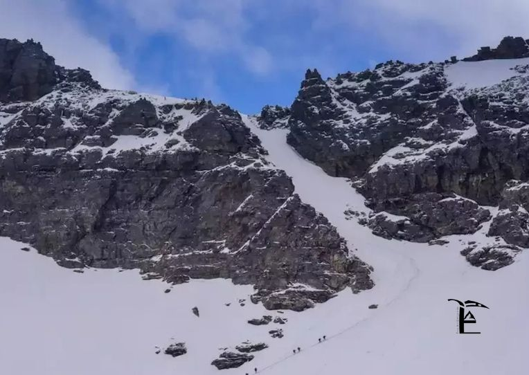
Geography & History: Another name for this trekking trail is Borasu Pass and it is also one of the trek routes that lead to Har Ki Dun Valley of Uttarakhand and this region is connected to Chitkul, the border region of Himachal Pradesh. For a certain period of time, this pass served as a trading pass of Garhwal and Kinnaur areas. Even though there have been a few technical problems with this pass, yet it attracts less number of trekkers than its rival pass called Rupin Pass.
Trek Route & Trail Highlights: The trek begins from Sankri and further continues to Har Ki Dun Valley trek and then goes through various wooden villages such as Osla and Seema. Further away from the valley, the trail heads towards Borasu glacier. Campsites at Ratta Tho and Upper Lamjunga are located above the tree line where one can find rocks, glaciers and fierce winds. The pass needs to be tackled after proper physical preparation as there will be hazardous crevasses on ice and snow, glaciers, and rocks. All of this is worth the effort as trekkers get to see some of the most breathtaking views of Swargarohini, Black Peak (Kalanag), and Bandarpoonch massif.
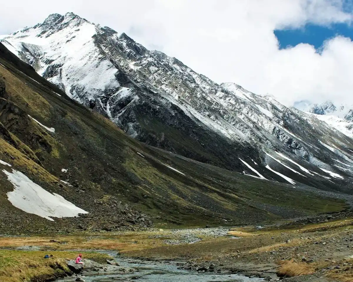
Geography & History: The trek we have mentioned here could be considered the most exciting, especially for those who have already done some adventure in Garhwal Himalayas. This trekking path is through Tons valley (Sankri/Har Ki Dun valley region) and it finally leads to Yamunotri through the great mountain range of Bandarpoonch.
Features of Trail & Route: This trek is basically a part of Har Ki Dun trek, but it branches off into Ruinsara Tal alpine lake. Located at a height of 11,811 ft., this holy lake is surrounded by the massive walls of rocks and Rhododendrons, offering stunning views of Black Peak. The climb up from Ruinsara lake to the Odari campsite and high camp is extremely steep and totally exposed to the climatic conditions.
The last crossing of the pass trail is very famous for being extremely narrow - a knife edge ridge where you have to be very careful while walking. The views of the Swargarohini wall and Yamunotri peaks are quite close and awe-inspiring. The path down is an extremely steep descent over the scree and snow fields reaching down to the thermal springs and holy shrines of Yamunotri.

Location and background: What made the Pin Parvati Pass Trek famous was perhaps the very fact that it was considered the most difficult and the most elite among the treks of Indian Himalayas. Typically, the trekking distance of 110 km passing Parvati Valley (Kullu District), a very lush and wet area, finishes at Pin Valley National Park, which is a cold desert zone.
Route and its attractions: The trekking path begins from Barsheni village, which is the very spot where the Hipster Culture of Parvati Valley first appeared. The trek route includes the dense and misty pine forests along with sulfuric hot springs at Kheerganga followed by the vast alpine meadows of Tunda Bhuj and Thakur Kuan. The real challenge of the trek starts from the Mantalai Lake (13,450 ft.), which is the true glacial lake feeding Parvati River. The trek route will include crossing over the huge mud scree wall and climbing up on the plateau glacier that is full of crevasses. Cross over the Pin Parvati Pass (17,450 ft.) involves winter survival skills, roping over soft snows, and traveling across crevasse fields. The descent will take you through the stark barren landscape of Spiti with Buddhist monasteries and rock formation to Mudh Village.
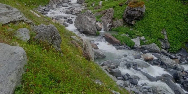
Geography & History: Parang La is the name of a high altitude trekking route that was used for centuries by Changpa nomads as a way to travel between the Spiti valley, Changthang and Ladakh. Parang La is one of the high altitude treks where self-reliance becomes a necessity.
Routes & Trails Highlights: The trek starts from the village of Kibber in Spiti that represents the world’s highest permanently populated village at the height of 14,200 ft.. After descending into enormous canyons, the trail moves gradually into a barren land of rocks and shales.The crossing of Parang La takes place at the height of 18,300 ft.. At this height, there is a lot of air thinness and all the movement is done very carefully.The real beauty of Parang La is revealed right after passing the pass. Following this route will lead you to the expansive open lands of the Changthang Plateau. Within a few days, you can trek along the banks of the Pare Chu River, all the while looking out for the following rare animals of high altitudes: Kiang - The elusive Tibetan Wild Ass. & Blue Sheep (Bharal) & Himalayan Wolves
And last but not least comes the most spectacular hike that goes on for kilometers around the shore of Tso Moriri Lake, which is one of the largest high altitude lakes in Ladakh.
Hiking through the passes of the mountains is more than a climb to an elevated point; it is a transforming adventure that tests both your physical and mental limits. In setting foot on such trails, one steps out of the chaos of contemporary life and enters into the pure beauty of nature of the Himalayas. The mountains await and all that remains to be answered is the valley you wish to traverse.
Beyond your reach, conquer the pass.