
29
Mar

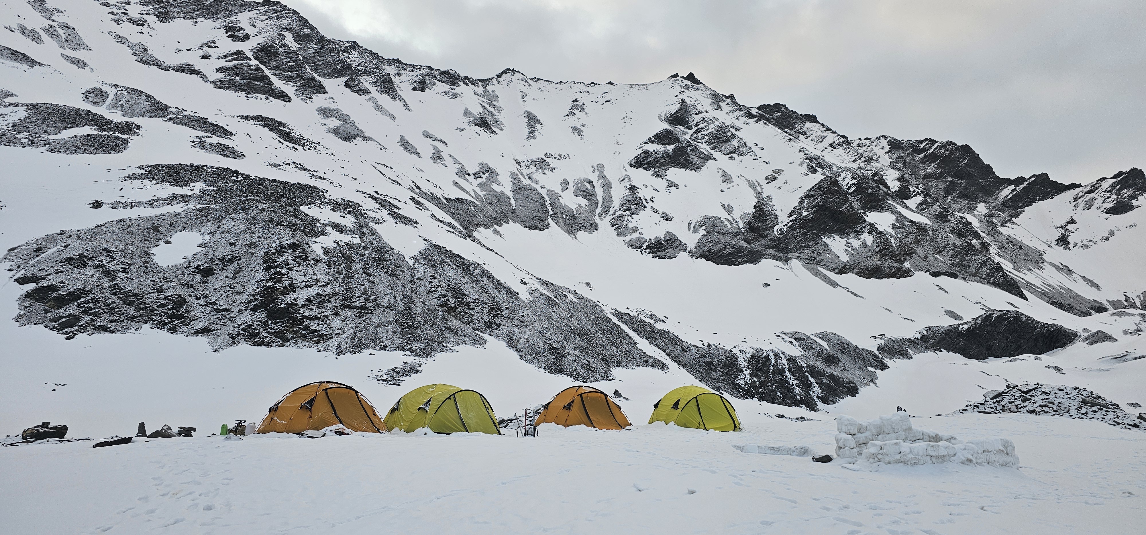
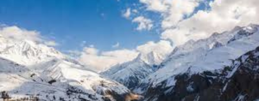
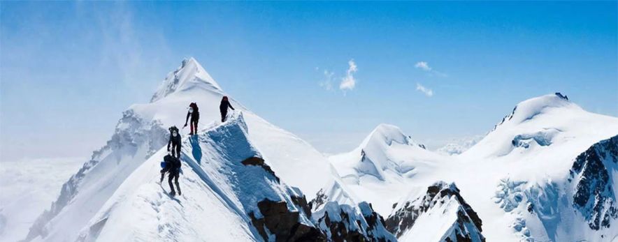
India's Himalayan ranges are among the most awe-inspiring environments on Earth — a vast cathedral of rock, ice and sky stretching across Uttarakhand, Himachal Pradesh, and Ladakh. For mountaineers and trekkers, these peaks represent the ultimate test of endurance, technique, and spirit. ThinAirExpedition has curated twelve of the finest expedition experiences in the Indian Himalaya, spanning beginner-friendly snow walks to elite high-altitude ascents demanding full expedition logistics and technical proficiency.
This article provides a comprehensive guide to each of these iconic expeditions — covering altitude, region, difficulty, season, and what makes each one uniquely unforgettable. Whether you are a first-time Himalayan climber or a seasoned alpinist seeking your next objective, ThinAirExpedition has the expertise, certified guides, and logistical support to take you to the top.
|
# |
Expedition |
Altitude |
Region |
Difficulty |
|
01 |
Mount Shivling |
6,543 m |
Garhwal, Uttarakhand |
Technical |
|
02 |
Panpatia Col |
5,947 m |
Garhwal, Uttarakhand |
Moderate |
|
03 |
Auden's Col |
5,490 m |
Garhwal, Uttarakhand |
Challenging |
|
04 |
Mount Yunam Peak |
6,111 m |
Lahaul-Spiti, HP |
Moderate |
|
05 |
Mt Satopanth |
7,075 m |
Garhwal, Uttarakhand |
Technical |
|
06 |
Reo Purgyil |
6,816 m |
Kinnaur, HP |
Technical |
|
07 |
Neelkanth Peak |
6,596 m |
Garhwal, Uttarakhand |
Technical |
|
08 |
Mount Trishul |
7,120 m |
Kumaon, Uttarakhand |
Technical |
|
09 |
Kamet Peak |
7,756 m |
Garhwal, Uttarakhand |
Expedition |
|
10 |
Kang Yatse II |
6,535 m |
Markha Valley, Ladakh |
Moderate |
|
11 |
Black Peak |
6,387 m |
Gangotri, Uttarakhand |
Moderate |
|
12 |
Friendship Peak |
5,289 m |
Kullu, Himachal Pradesh |
Beginner–Mod |
|
Altitude |
6,543 m (21,467 ft) |
|
Region |
Garhwal Himalaya, Uttarakhand |
|
Difficulty |
Technical (Grade: Alpine TD+) |
|
Duration |
18–22 Days |
|
Best Season |
May–June & September–October |
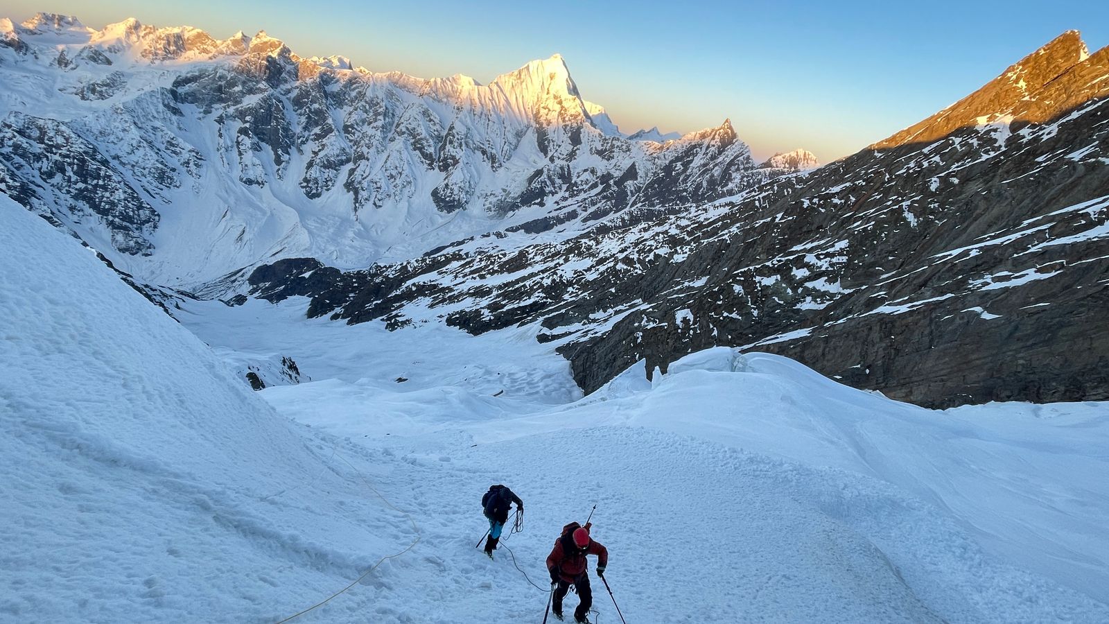
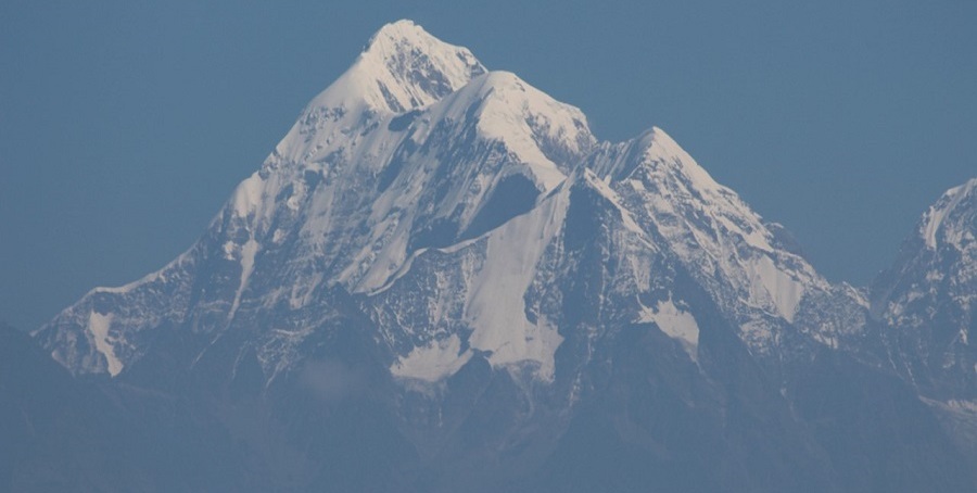
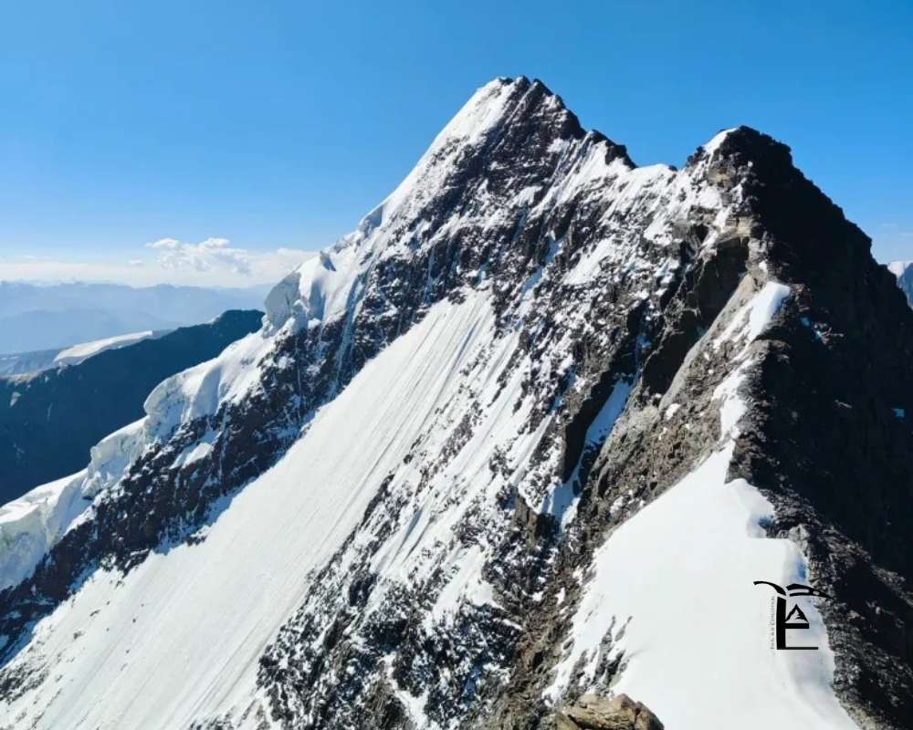
Overview
Few peaks in the Indian Himalaya match the sheer aesthetic grandeur of Mount Shivling. Rising like a soaring granite lingam above the Gangotri Glacier, Shivling has captivated mountaineers since its first ascent in 1974. The mountain demands proficiency in rock, snow, and ice — including steep mixed terrain on the upper headwall. Its proximity to the sacred Gangotri temple adds a profound spiritual dimension to the climb. The standard route follows the Southeast Ridge, offering spectacular views of the Bhagirathi group, Meru, and the vast Gangotri ice-field.
Highlights
Iconic granite spire visible from the Gangotri temple, a UNESCO tentative heritage site
Technical mixed climbing on the Southeast Ridge and upper headwall
Panoramic views of Bhagirathi I, II & III, Meru, and Kedarnath peaks
Acclimatisation trek through the sacred Gangotri valley
Rich Himalayan wildlife including snow leopards, bharal and Himalayan monals
Climber's Tips
Climbers should have prior experience on technical alpine routes (minimum AD/D grade). Fitness training should begin six months before departure, emphasising cardio endurance, strength and high-altitude simulation. Bring high-quality mixed climbing gear: crampons, ice axes, rock hardware, and a 60m dry rope.
|
Altitude |
5,947 m (19,511 ft) |
|
Region |
Garhwal Himalaya, Uttarakhand |
|
Difficulty |
Moderate–Challenging (Grade: PD+) |
|
Duration |
14–18 Days |
|
Best Season |
May–June & September–October |
Overview
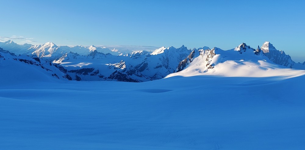
The Panpatia Col traverse is one of the most spiritually resonant high-altitude crossings in the Garhwal Himalaya, linking the Kedarnath and Badrinath valleys via a remote, glacier-draped pass. Revered in Hindu tradition as a route taken by the Pandavas, the crossing rewards trekkers and climbers with immense glaciated landscapes, moraines and high-altitude meadows. The route passes through some of the least-visited wilderness in Uttarakhand, making it a rare opportunity for solitude and deep mountain immersion. While it does not require the technical proficiency of a technical climb, glacier travel, crevasse navigation, and rope craft are essential skills.
Highlights
A mythologically significant route linking two of Hinduism's holiest towns
Vast, crevassed glaciers and alpine meadows draped in wildflowers in season
Exceptional views of Chaukhamba, Satopanth, Kedarnath, and Badrinath massifs
Remote wilderness with very little human traffic — true solitude
Suitable as an acclimatisation journey before higher objectives
Climber's Tips
Trekkers should have prior glacier travel experience and basic crampon technique. The route involves multiple glaciated sections and requires rope management skills. IMF liaison officer, high camps and full kitchen support are included in all ThinAirExpedition packages.
|
Altitude |
5,490 m (18,012 ft) |
|
Region |
Garhwal Himalaya, Uttarakhand |
|
Difficulty |
Challenging (Grade: D) |
|
Duration |
16–20 Days |
|
Best Season |
May–June & September–October |
Overview
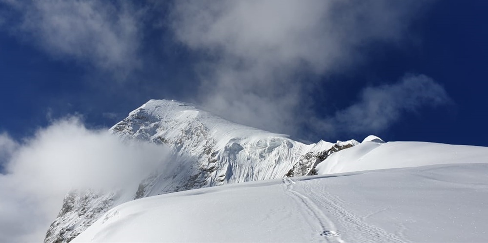
Named after the British geologist John Bicknell Auden, who first crossed it in 1935 while surveying the source of the Ganges, Auden's Col is a demanding high-altitude glacier crossing connecting the Gangotri and Kedarnath basins. The route traverses the Khatling Glacier, negotiating crevassed terrain, icefalls, and exposed ridges. The approach from the Bhilangna valley involves beautiful forested valleys, alpine meadows and dramatic gorges before the high glaciated sections begin. This is a true adventure route, only recently opened to foreign expedition groups, and remains one of the most committing treks in the Himalaya.
Highlights
One of the most historically significant glacier crossings in the Indian Himalaya
Remote Khatling Glacier with complex crevassed terrain and icefall sections
Stunning views of the Jogin group, Thalaysagar and Kedarnath peaks
Dense forests of pine, oak, and rhododendron on the lower approaches
Minimal human impact — genuine Himalayan wilderness
Climber's Tips
Auden's Col demands excellent physical fitness, prior glacier experience, and solid navigation in whiteout conditions. Participants must be comfortable with steep snow and ice travel. Self-arrest, crampon techniques, rope travel, and basic crevasse rescue should be practised before departure.
04. Mount Yunam Peak Expedition
|
Altitude |
6,111 m (20,049 ft) |
|
Region |
Lahaul-Spiti, Himachal Pradesh |
|
Difficulty |
Moderate (Non-Technical) |
|
Duration |
10–14 Days |
|
Best Season |
June–September |
Overview
Mount Yunam is one of the most accessible peaks above 6,000 metres in the Indian Himalaya, making it an ideal objective for climbers aspiring to their first 6,000-metre summit. Situated in the Lahaul division of Himachal Pradesh, the mountain lies near the Baralacha La pass on the Manali–Leh highway, offering straightforward access and acclimatisation logistics. The climb follows snow slopes and a broad ridge — free of technical rock or ice craft — and rewards climbers with sweeping 360-degree panoramas across the Spiti valley, Baralacha La, and the high desert plateau of Ladakh. Its relatively gentle terrain makes it outstanding for altitude conditioning before more demanding objectives.
Highlights
Non-technical summit above 6,000 m — ideal for first-time high-altitude climbers
Accessible approach via the Manali–Leh highway
Expansive views of the Spiti plateau, Baralacha La, and the Zanskar Range
Superb acclimatisation peak before attempting 7,000-metre objectives
Rich birdlife and high-altitude flora of the trans-Himalayan zone
Climber's Tips
No prior technical climbing experience is required, but participants should be physically fit with prior trekking above 4,500 m recommended. Adequate acclimatisation days are built into all ThinAirExpedition itineraries. Layers, windproofs and good high-altitude boots are essential.
|
Altitude |
7,075 m (23,212 ft) |
|
Region |
Garhwal Himalaya, Uttarakhand |
|
Difficulty |
Technical (Grade: Alpine D+) |
|
Duration |
20–24 Days |
|
Best Season |
May–June & September–October |
Overview
Standing at the head of the ethereally beautiful Satopanth Tal (lake), in the shadow of the revered Badrinath shrine, Mount Satopanth is one of the most striking 7,000-metre peaks in the Garhwal Himalaya. The summit was first climbed in 1947 by the Swiss expedition of Andre Roch. The approach through Badrinath and along the glacial lake is considered one of the most scenic in Indian mountaineering. The climb involves extensive glacier travel, crevasse hazards, and steep ice and mixed terrain on the upper face. At 7,075 metres, Satopanth pushes climbers into the zone where altitude management becomes critical.
Highlights
Approach past the sacred, emerald Satopanth Tal, one of Uttarakhand's most revered lakes
Views of Chaukhamba I–IV, Nilkantha, and the Gangotri group from the summit
Extensive high-altitude glacier camp life above 5,500 m
Rich mountaineering heritage — climbed by pioneer Swiss and Indian expeditions
Full expedition logistics including Base Camp kitchen, medical support and liaison officer
Climber's Tips
Satopanth is suitable for experienced mountaineers with prior 6,000-metre summits and strong high-altitude physiology. Participants must be proficient in crampon technique, ice axe arrest, crevasse rescue and fixed rope ascension. Training at altitude in the six months prior is strongly recommended.
|
Altitude |
6,816 m (22,362 ft) |
|
Region |
Kinnaur, Himachal Pradesh |
|
Difficulty |
Technical (Grade: Alpine D) |
|
Duration |
18–22 Days |
|
Best Season |
June & September–October |
Overview
Reo Purgyil is the highest peak in Himachal Pradesh and one of the most remote and austere mountaineering objectives in the country. Straddling the Indo-Tibetan border in the Kinnaur district, its summit was first reached in 1952. The mountain's location in the trans-Himalayan rain shadow means approaches are made through bare, wind-scoured valleys of extraordinary geological beauty — ochre cliffs, eroded badlands, and turquoise rivers. The climbing is serious: mixed terrain, exposed ridges and unpredictable high-altitude weather make this a destination for seasoned alpinists. Inner Line Permits are required and obtained by ThinAirExpedition on behalf of climbers.
Highlights
Highest peak in Himachal Pradesh at 6,816 m
Remote trans-Himalayan landscape unlike any other expedition in this list
Dramatic views across into Tibet from the summit ridge
Inner Line Permit area — strictly controlled access adds to the sense of exclusivity
Geological wonderland of eroded valleys and high desert approaching the mountain
Climber's Tips
This expedition is for experienced high-altitude mountaineers only. Reo Purgyil's remoteness means evacuation logistics are complex; comprehensive travel insurance including helicopter rescue is mandatory. All Inner Line Permits, Restricted Area Permits, and IMF approvals are handled by ThinAirExpedition.
|
Altitude |
6,596 m (21,640 ft) |
|
Region |
Garhwal Himalaya, Uttarakhand |
|
Difficulty |
Technical (Grade: Alpine D+) |
|
Duration |
20–25 Days |
|
Best Season |
May–June & September–October |
Overview
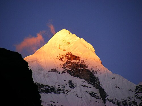
Known as the 'Queen of Garhwal', Neelkanth (also spelled Nilkantha) is regarded as one of the most beautiful peaks in the entire Himalaya. Its fluted ice and rock ridges soar above the sacred town of Badrinath, creating an almost mythical silhouette that pilgrims and climbers have revered for generations. The mountain is dedicated to Lord Shiva — its blue-black rock giving it the name Neelkanth (blue throat). Technically demanding, with steep mixed ground on the upper pyramid and serious objective hazards from seracs and ice cliffs, Neelkanth rewards only the most committed and experienced climbers with its ethereal summit views.
Highlights
Arguably the most beautiful mountain face in the Indian Himalaya
Deep spiritual significance — towers above the Badrinath pilgrimage town
Steep mixed climbing on the upper pyramid requiring ice and rock proficiency
Summit views across Chaukhamba, Satopanth, Kamet, and the entire Garhwal ice-scape
A true bucket-list objective for serious Himalayan climbers
Climber's Tips
Neelkanth is a serious undertaking. Climbers should have multiple 6,000-metre ascents and ideally experience on mixed Alpine D-grade routes. The mountain commands respect — conditions can change rapidly, and patience with weather windows is essential. ThinAirExpedition provides experienced high-altitude Sherpa support throughout.
08. Mount Trishul Peak Expedition
|
Altitude |
7,120 m (23,360 ft) |
|
Region |
Kumaon Himalaya, Uttarakhand |
|
Difficulty |
Technical (Grade: Alpine D/D+) |
|
Duration |
22–26 Days |
|
Best Season |
May–June & September–October |
Overview
Mount Trishul holds a unique place in the annals of Himalayan mountaineering: it was the first peak above 7,000 metres to be climbed anywhere in the world, summited in 1907 by a British expedition led by Tom Longstaff. Named after the trident of Lord Shiva, Trishul's three rocky summits loom over the Pindar and Nanda Ghunti ranges of the Kumaon Himalaya. The standard route from the south involves glaciated approaches, crevasse fields, and a steep final summit pyramid with sections of mixed terrain. At 7,120 metres, altitude management is paramount, and the mountain commands serious respect.
Highlights
The first peak above 7,000 m to be climbed in the Himalaya — a piece of mountaineering history
Spectacular views of Nanda Devi — India's highest entirely internal peak — from the summit
Traditional Kumaon approach through picturesque villages and rhododendron forests
Three summit peaks — Trishul I (7,120 m), II and III form a dramatic triple crown
Rich heritage and a well-documented mountaineering history spanning over a century
Climber's Tips
Trishul is a 7,000-metre expedition requiring high-altitude experience, strong acclimatisation, and technical mountain craft. ThinAirExpedition operates a full Base Camp with professional kitchen, medical tent, and liaison support. Prior summits above 6,500 m are strongly recommended for all participants.
|
Altitude |
7,756 m (25,446 ft) |
|
Region |
Garhwal Himalaya, Uttarakhand |
|
Difficulty |
Expedition Grade (Alpine ED) |
|
Duration |
30–36 Days |
|
Best Season |
May–June |
Overview
Kamet is the highest peak entirely within India — the third highest in the country — and represents the pinnacle of Indian Himalayan mountaineering. First climbed in 1931 by Frank Smythe's expedition, Kamet sits in the remote Chamoli district, close to the Tibet border. At 7,756 metres, this is a full expedition-grade objective: requiring multiple high camps, supplemental oxygen for many climbers, and meticulous acclimatisation protocols. The standard route from the Alaknanda basin approaches via the vast East Kamet Glacier. The scale of the mountain — and the commitment required — place Kamet firmly in the realm of elite Himalayan climbing.
Highlights
Third highest peak in India at 7,756 m — the highest entirely within Indian territory
First climbed in 1931, with a rich colonial-era mountaineering heritage
Massive glaciated approach via the spectacular East Kamet Glacier
Full expedition logistics: multiple high camps (C1 through C4), fixed lines, supplemental oxygen
A true benchmark Himalayan expedition for elite mountaineers
Climber's Tips
Kamet demands elite fitness, prior high-altitude expedition experience (ideally above 7,000 m), and deep familiarity with all aspects of big mountain logistics. ThinAirExpedition's Kamet expedition includes all IMF permits, liaison officer, experienced high-altitude Sherpa team, kitchen crew, supplemental oxygen systems, and comprehensive medical support. A 30–36 day commitment is required.
|
Altitude |
6,535 m (21,440 ft) |
|
Region |
Markha Valley, Ladakh |
|
Difficulty |
Moderate–Technical (Grade: PD+/AD) |
|
Duration |
14–18 Days |
|
Best Season |
June–October |
Overview
Kang Yatse II is one of the most accessible and rewarding summit objectives in Ladakh, approached through the legendary Markha Valley — one of the finest trekking routes in the Himalaya. The mountain offers a superb non-technical route on its normal line, with glaciated upper slopes and a broad summit giving unparalleled views across the Zanskar Range, the Karakorum foothills, and deep into the high Tibetan plateau. The combination of a beautiful valley approach, high-altitude Ladakhi culture, and a genuine glaciated summit makes Kang Yatse II exceptional value for any serious trekker-climber.
Highlights
Superb approach through the Markha Valley — one of India's finest high-altitude treks
Non-technical normal route accessible to fit trekkers with basic crampon skills
360-degree summit views across Zanskar, Ladakh and the Karakorum
Rich Ladakhi Buddhist culture — ancient monasteries, chortens and prayer flags
Excellent acclimatisation peak before attempting Kang Yatse I (6,400 m+, technical)
Climber's Tips
Kang Yatse II is accessible to well-conditioned trekkers with some prior high-altitude experience. Basic crampon and ice axe skills are required for the upper glacier. ThinAirExpedition provides full logistical support including tents, kitchen crew, horses for load-carrying and experienced local guides throughout.
|
Altitude |
6,387 m (20,955 ft) |
|
Region |
Gangotri Region, Uttarakhand |
|
Difficulty |
Moderate (Grade: PD+) |
|
Duration |
14–17 Days |
|
Best Season |
May–June & September–October |
Overview
Black Peak — locally known as Kalanag, meaning 'black snake' — is one of the most scenic and rewarding moderate-grade summits in the Gangotri region. Its distinctive dark granite towers rise above expansive alpine meadows and glaciated moraines, offering a photogenic and satisfying ascent for climbers stepping up from trekking peaks to genuine mountaineering. The approach journey through the Ruinsara meadows is widely regarded as one of the most beautiful in the Garhwal Himalaya. The summit provides sweeping views across the Bandarpunch massif, Swargarohini peaks, and the vast Gangotri ice fields.
Highlights
One of the most photogenic and accessible moderate peaks in the Garhwal Himalaya
Beautiful approach through the Ruinsara meadows and Har Ki Dun valley
Dramatic dark granite towers contrasting with surrounding glaciated white peaks
Summit panorama of Bandarpunch, Swargarohini, and Gangotri group
Excellent stepping-stone peak before attempting higher technical objectives
Climber's Tips
Black Peak is suitable for fit trekkers with basic snow and ice craft. Prior experience on steep snow slopes and comfort with crampons and ice axes is recommended. The climb is non-glaciated on the lower sections but involves snow ridges and potential ice in the summit block area.
12. Friendship Peak Expedition
|
Altitude |
5,289 m (17,352 ft) |
|
Region |
Kullu Valley, Himachal Pradesh |
|
Difficulty |
Beginner–Moderate (Grade: F/PD) |
|
Duration |
8–12 Days |
|
Best Season |
May–June & October |
Overview
Friendship Peak is the perfect gateway into Himalayan mountaineering — a beautiful, rewarding summit above the Solang Valley near Manali that introduces climbers to glacier travel, crampon technique, and the profound experience of a high-altitude summit, all in a relatively safe and accessible environment. The peak offers sweeping views of the Kullu and Lahaul valleys, and its snow ridges are genuinely satisfying without posing extreme technical difficulty. ThinAirExpedition offers Friendship Peak as an introduction-to-mountaineering course, incorporating rope skills, basic ice craft, and altitude awareness before the summit bid.
Highlights
The ideal first Himalayan mountaineering experience — suitable for fit beginners
Panoramic views of the Kullu Valley, Lahaul, and Rohtang Pass from the summit
Beautiful Solang Valley approach with meadows, pine forests and glacial streams
Introductory mountaineering skills training built into the itinerary
Can be combined with Manali sightseeing, Solang Valley activities, and Rohtang Pass
Climber's Tips
No prior mountaineering experience is required — only a good level of physical fitness and prior trekking above 3,500 m. ThinAirExpedition's Friendship Peak itinerary includes a dedicated mountaineering skills day covering crampon technique, self-arrest, rope management, and altitude safety before the summit bid. This expedition is an outstanding way to begin a lifetime of Himalayan adventure.
All mountaineering expeditions in India require permits from the Indian Mountaineering Foundation (IMF) or the respective State Adventure Sports bodies. For peaks on the border with Tibet or China — such as Kamet and Reo Purgyil — additional Restricted Area Permits and Inner Line Permits are mandatory. ThinAirExpedition handles all permit applications, liaison officer arrangements, and IMF compliance on behalf of every client.
The two primary climbing windows in the Indian Himalaya are the pre-monsoon season (May–June) and the post-monsoon season (September–October). The monsoon (July–August) brings heavy precipitation to Uttarakhand and Himachal Pradesh, making most Garhwal and Kumaon expeditions impractical. Ladakh lies in the rain shadow of the main Himalayan range and remains largely accessible throughout summer (June–September), making peaks like Kang Yatse II and Reo Purgyil viable in this window.
High-altitude mountaineering demands exceptional aerobic capacity, muscular endurance, and psychological resilience. ThinAirExpedition recommends a six-month preparation programme for all technical expeditions (7,000 m+) and a minimum of three months for moderate objectives. Training should incorporate long-distance running, trail running with elevation gain, loaded hiking, climbing gym sessions, and ideally a preparatory high-altitude trek above 4,500 m in the year prior to your expedition.
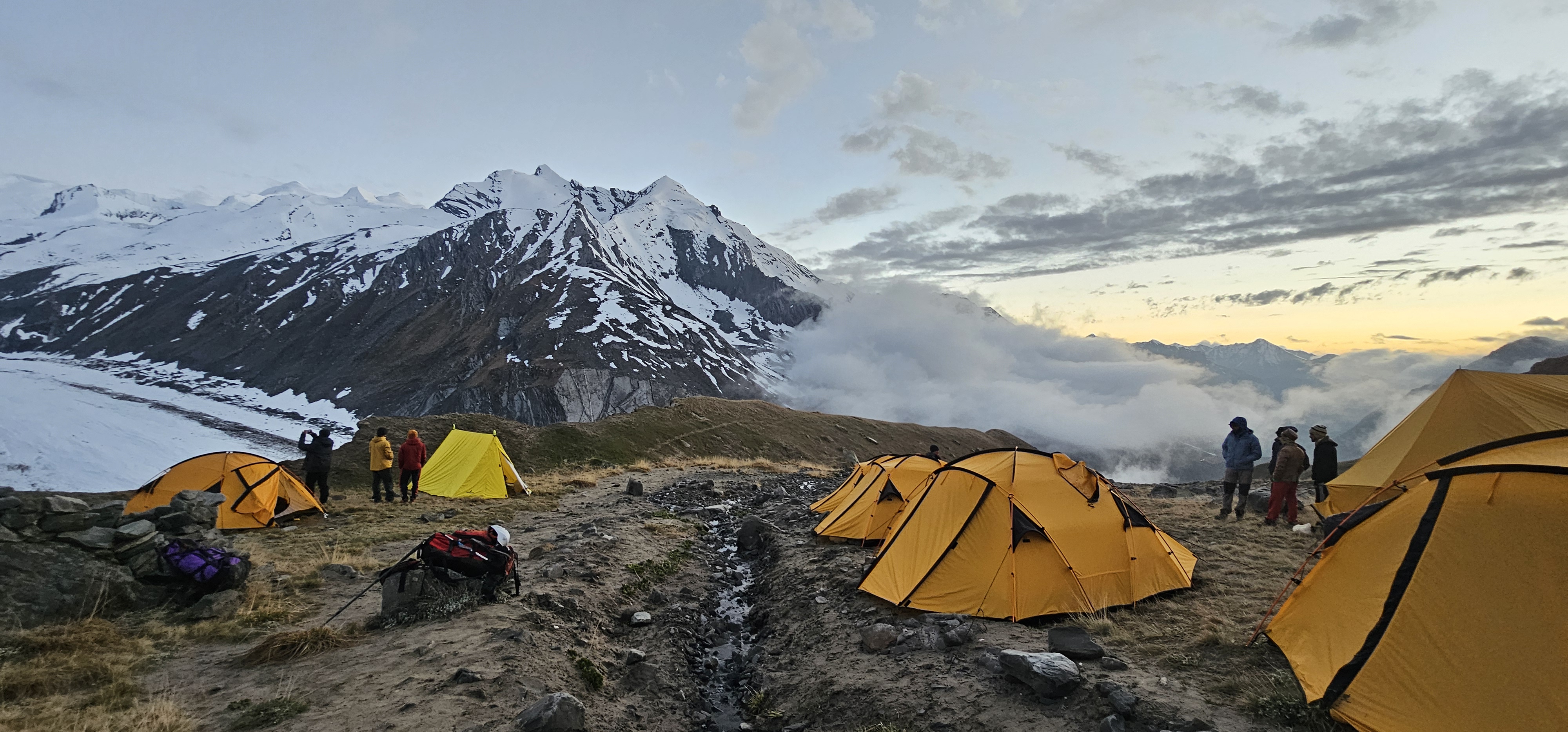
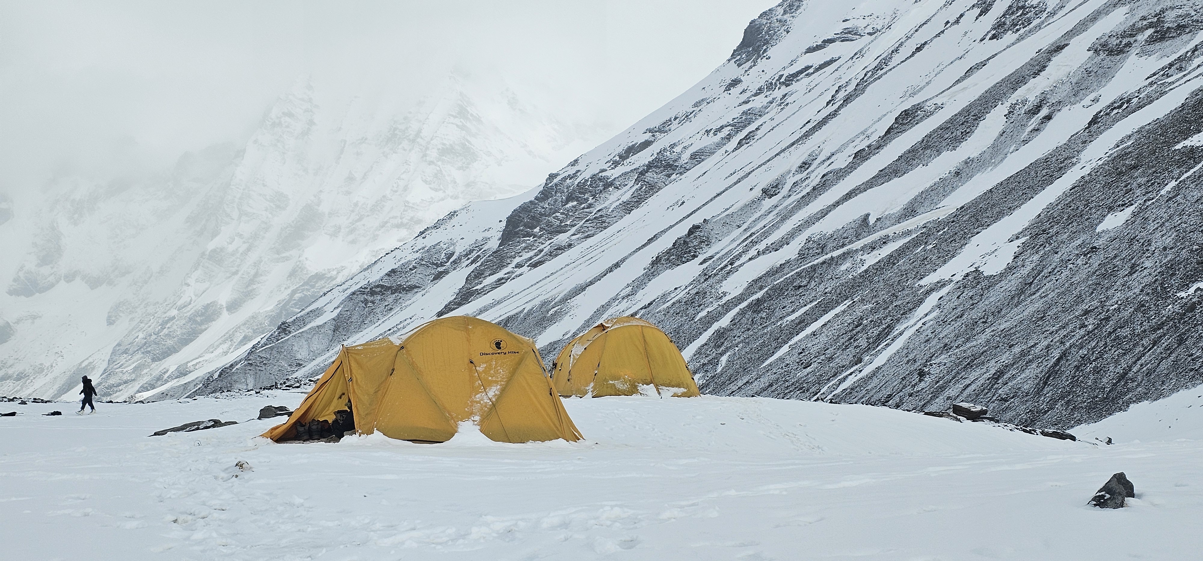
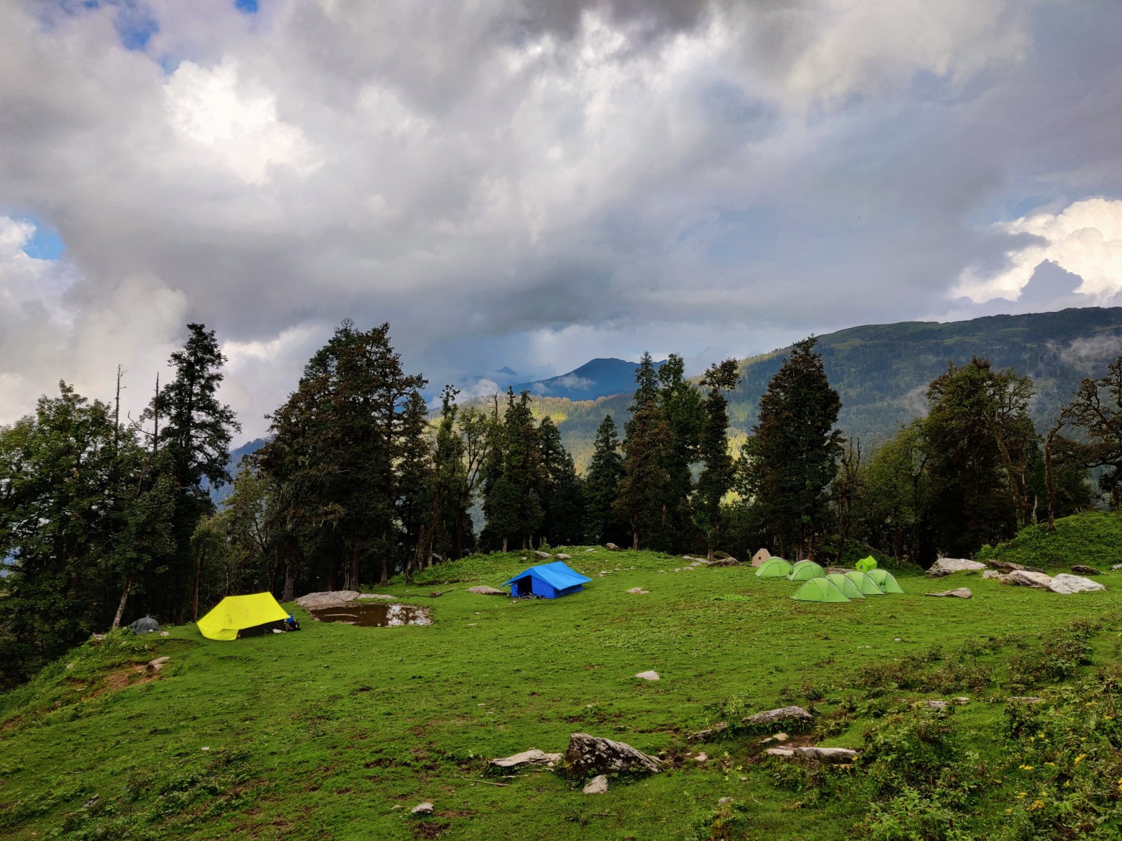
ThinAirExpedition provides shared camp equipment — tents, cooking sets, dining tent, and mess furniture — for all expeditions. Climbers are responsible for their personal high-altitude gear: insulated boots, crampons, ice axes, harness, helmet, down suit (for peaks above 7,000 m), layers, and technical clothing. A detailed equipment list is provided upon booking. Equipment hire is available in Delhi and Manali for most standard items.
Comprehensive travel insurance including emergency helicopter rescue and medical evacuation is mandatory for all ThinAirExpedition expedition participants. We recommend policies from specialist adventure travel insurers that cover rescues from altitude. Please ensure your policy explicitly covers mountaineering to the altitude of your chosen expedition.
ThinAirExpedition has spent over two decades building an unrivalled reputation for safe, professional, and deeply rewarding Himalayan expeditions. Our team combines IMF-certified Indian mountaineering guides, experienced high-altitude Sherpas, and seasoned logistics experts who understand the complexities of operating in the world's greatest mountain range.
Certified, experienced lead guides with international mountaineering credentials
Full IMF permit management, liaison officer provision, and regulatory compliance
Comprehensive Base Camp logistics: professional kitchen crew, medical tent, communications
Supplemental oxygen systems available for all peaks above 6,500 m
24/7 satellite communication and emergency evacuation protocols
Responsible, eco-sensitive operations supporting local communities
Flexible group sizes — private, semi-private and group expedition formats available
The Indian Himalaya contain some of the most extraordinary mountaineering terrain on the planet — and ThinAirExpedition 's twelve flagship expeditions represent the finest cross-section of what this range has to offer. From the beginner-friendly snow slopes of Friendship Peak near Manali, to the awe-inspiring, expedition-grade challenge of Kamet at nearly 7,800 metres; from the sacred grandeur of Shivling above the Gangotri Glacier, to the remote trans-Himalayan wilderness of Reo Purgyil in Kinnaur — each expedition is a world unto itself.
These mountains will test you, transform you, and reward you with experiences that last a lifetime. The summit is only part of the journey: the people you share it with, the landscapes you move through, and the version of yourself you discover at altitude are the true gifts of the Himalaya.
ThinAirExpedition invites you to take the next step. Contact our team to begin planning your expedition.